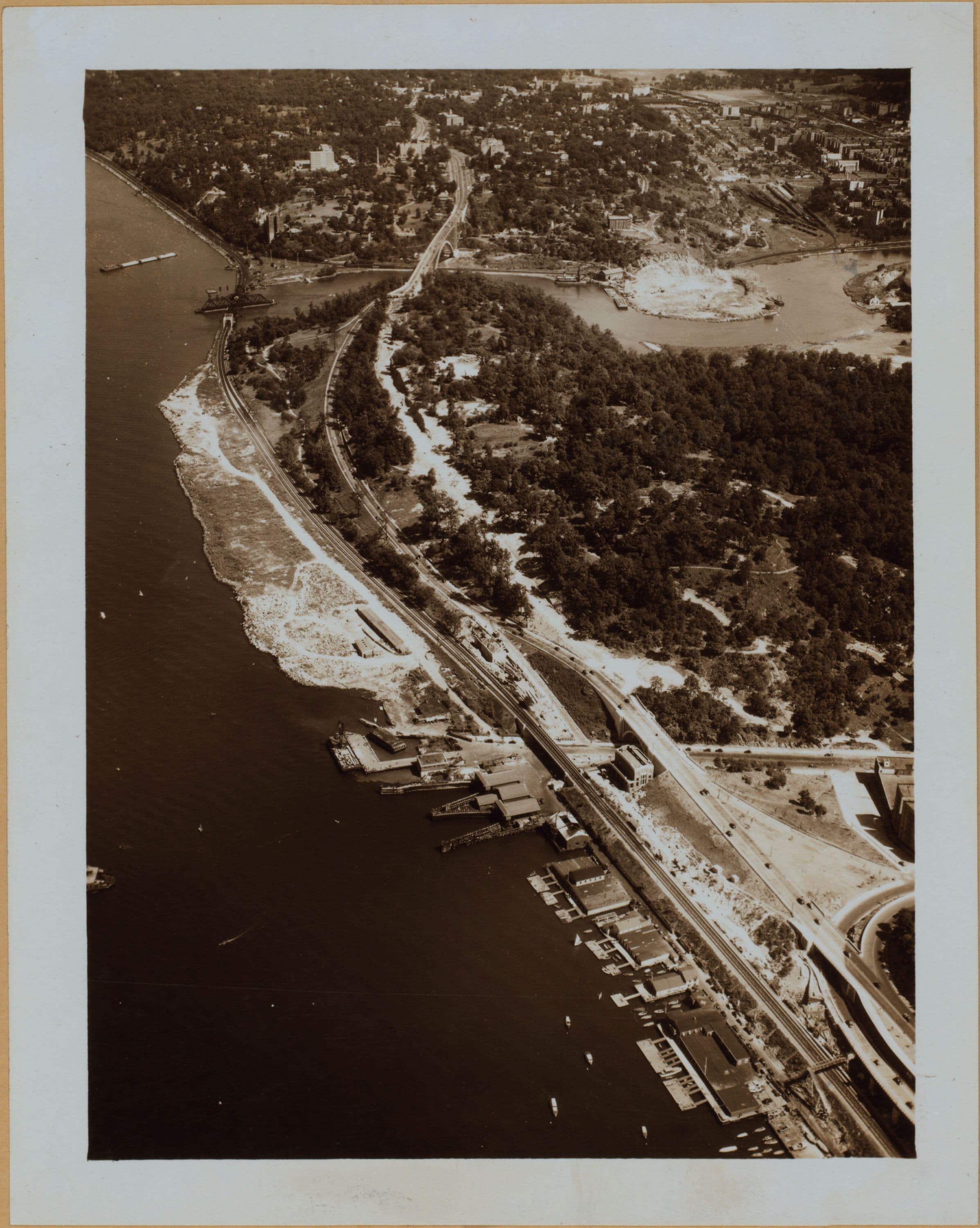
1937
Manhattan: Henry Hudson Parkway - Dyckman Street
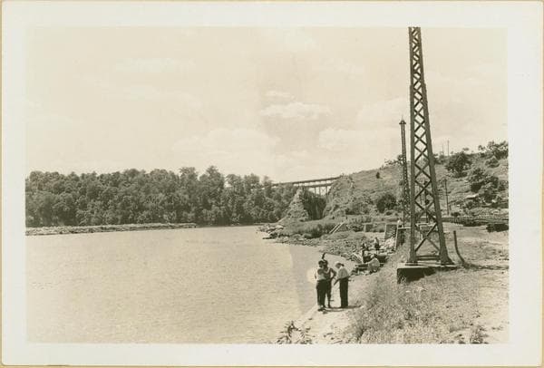
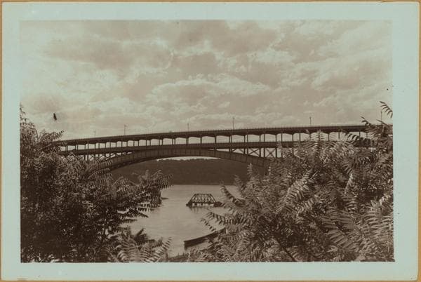
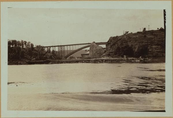
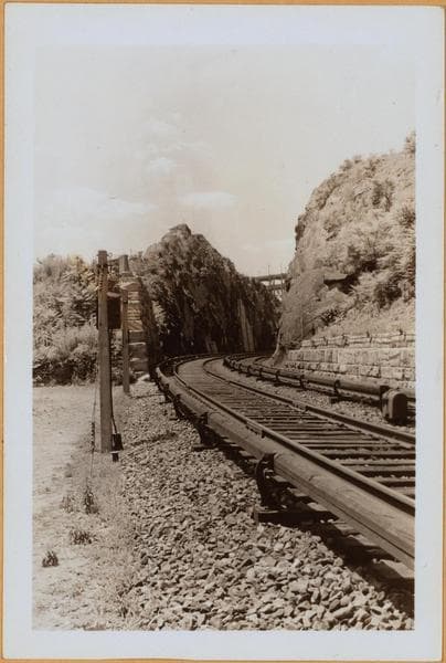
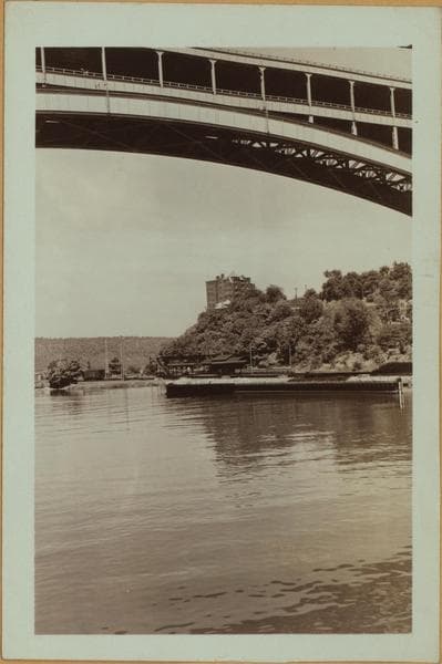
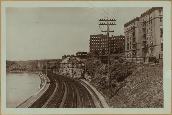
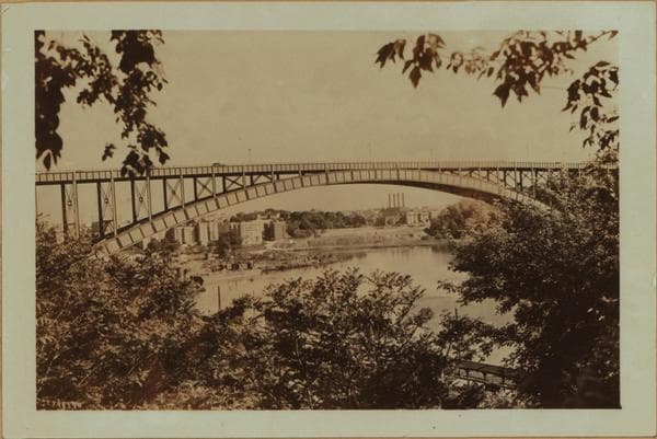
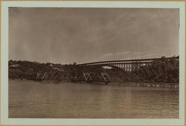
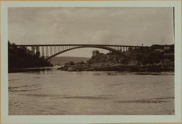
Henry Hudson Parkway: An aerial view from a point, slightly south of Dyckman Street (shown in foreground with bridges crossing same) showing the Parkway, a feature of the West Side Improvement Project progressing northward through Inwood Hill Park and across the Henry Hudson Bridge over the Harlem River to the Spuyten Duyvil section of the Bronx. Note the New York Central Railroad tracks which more or less parallel this roadway in conjunction with the North (Hudson) River bank. The U shaped basin of the Harlem River, shown at the right top formed by the peninsula projecting southward will soon disappear, a ship canal is now under construction that will bisect the latter and the basin filled in. For an account of same, see the New York Times of April 27, 1927. This photograph appeared in a brochure published by the Department of Parks on October 12, 1937 and issued at the public ceremonies attending the opening. 1937. Gift of Department of Parks.
Photo from the New York Public Library - Milstein Collection