![East River - Shore and skyline of Manhattan from East 53rd Street - Williamsburg and Queensborough Bridges - [Colonial Sand and Stone Company.]](/_next/image?url=https%3A%2F%2Fimages.vestigesofnewyork.com%2Fhigh-res%2F02c45f3b-6f67-429c-a20a-02fb7316339a.jpg&w=3840&q=75)
1939
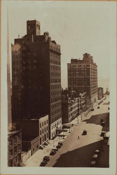
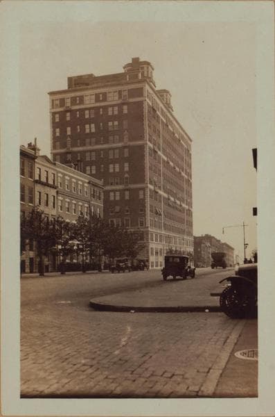
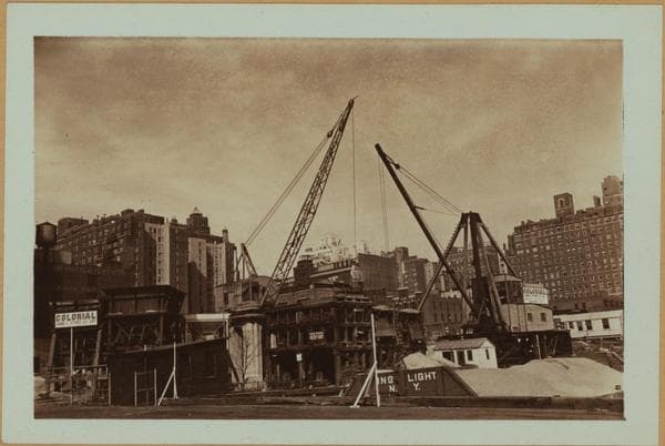
East River - Shore and skyline of Manhattan from East 53rd Street - Williamsburg and Queensborough Bridges - [Colonial Sand and Stone Company.]
East River, Manhattan, Shore and Skyline, north from the dock at the foot of E. 53rd Street towards the Queensboro Bridge showing where a fill will be made to provide a support for the new East River Highway that will skirt the shore. Rock drills are seen slightly off of 54th Street and from their position indicate the width to be filled. View No. 2 is northwestward towards the mainland and shows the Colonial Sand and Stone Company occupying the frontage between 53rd and 54th Streets. At the latter point a new thoroughfare begins, (Sutton Place) and which continues to 59th Street where it changes its identity to the more prosaic York Ave. February 9, 1939 Views 1 and 2 and 3 P. L. Sperr
Photo from the New York Public Library - Milstein Collection