VVestiges of New York49,000+ historical photos
MapBrowseAbout
  1. Browse /
  2. 1930s /
  3. This photo
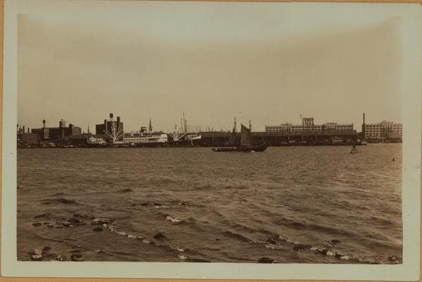
East River - Brooklyn.

1938

East River - Brooklyn.

East River, shore and skyline, south of the Brooklyn Bridge, seen at the extreme left. The shore area seen beyond the piers is known as Borough Hall Area. August 2, 1929 P. L. Sperr

Photo from the New York Public Library - Milstein Collection

View this location on the map →View on NYPL Digital Collections (opens in a new tab) →

More photos from this spot

  • Buttermilk Channel - Recreation Pier - Foot of State Street - Brooklyn.

    1928

  • Brooklyn: Hamilton Avenue - Wyckoff Avenue

    1931

  • Buttermilk Channel - Governors Island - Brooklyn shore and skyline.

    1935

  • East River - Piers and shoreline between Buttermilk Channel and Brooklyn Bridge - [Bush Terminal Building.]

    1920

  • Manhattan: South Street - 65th Street

    1945

About and contactPrivacyPhotos: The New York Public Library, Milstein Collection