VVestiges of New York49,000+ historical photos
MapBrowseAbout
  1. Browse /
  2. 1930s /
  3. This photo
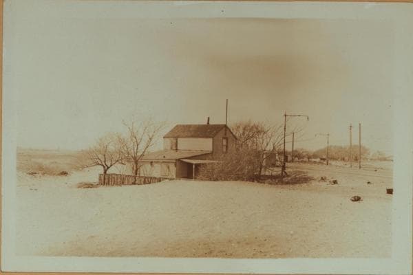
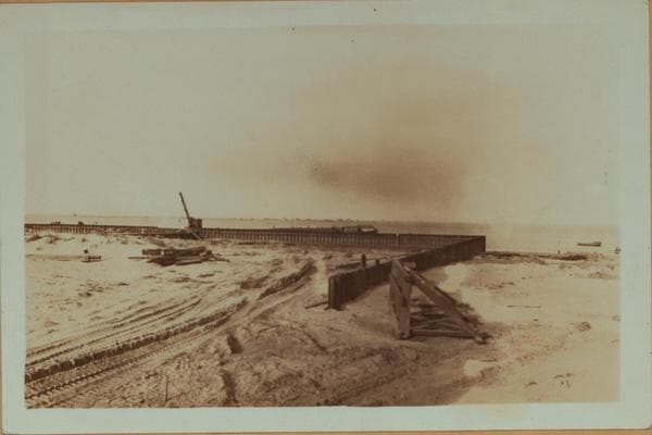
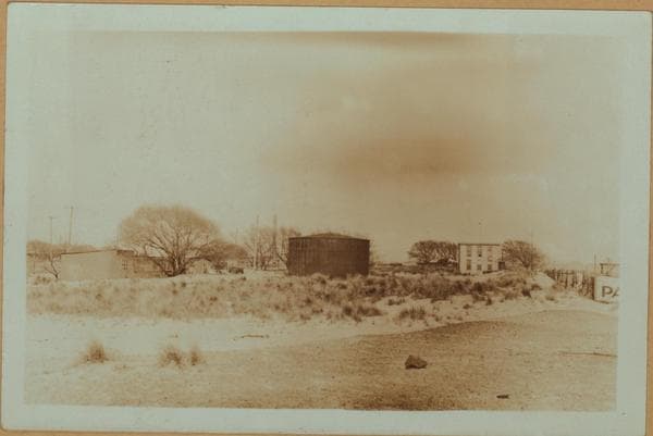
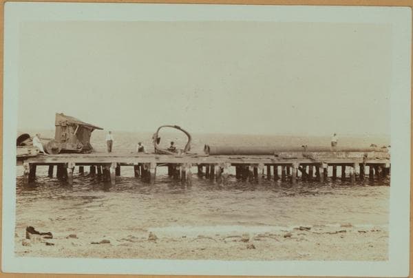
Islands - Barren Island (Southwest).

1937

Islands - Barren Island (Southwest).

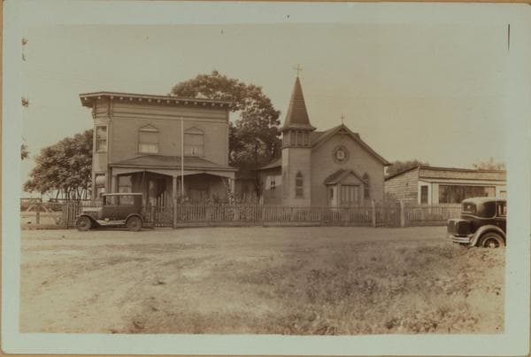
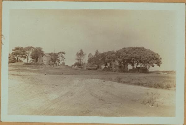
(1) Barren Island, viewing southwest. July 24, 1937. P. L. Sperr. (2) The same, viewing west from the southeastern section of Barren Island. July 24, 1937. P. L. Sperr.

Photo from the New York Public Library - Milstein Collection
View this location on the map →View on NYPL Digital Collections (opens in a new tab) →

More photos from this spot

  • Islands - Barren Island (North) - East shore.

    1931

  • Islands - Barren Island - Roadway - [Roman Catholic Church.]

    1931

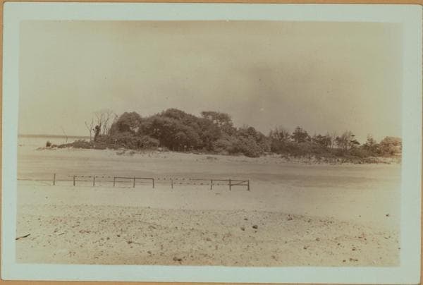
  • Islands - Barren Island - Jamaica Bay.

    1931

  • Islands - Barren Island - [Former Protestant Church.]

    1931

  • Islands - Barren Island - Roadway - Jamaica Bay.

    1931

  • Islands - Barren Island - Rockaway ferry.

    1931

  • Islands - Barren Island - Dyke for new airport fill - [Rockaway Pier.]

    1931

  • Islands - Barren Island - [Floyd Bennett field - Municipal Airport in Brooklyn.]

    1931

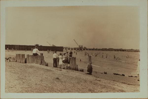
  • Islands - Barren Island - Bathers near dyke for new airport fill - [Rockaway Pier.]

    1931

  • Islands - Barren Island - [Horse disposal plant - Glue factory in Brooklyn.]

    1931

  • Islands - Barren Island (West) - [Floyd Bennett field - Municipal airport.]

    1931

  • Islands - Barren Island - [Old Public School No. 120 - Horse disposal plant.]

    1931

About and contactPrivacyPhotos: The New York Public Library, Milstein Collection