![Manhattan: Stuyvesant Square Park - [Between 15th and 17th Streets (East).]](/_next/image?url=https%3A%2F%2Fimages.vestigesofnewyork.com%2Fhigh-res%2F21967259-d651-4917-b799-ed05bd20fa20.jpg&w=3840&q=75)
1930
Manhattan: Stuyvesant Square Park - [Between 15th and 17th Streets (East).]
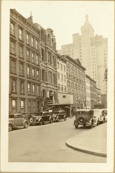
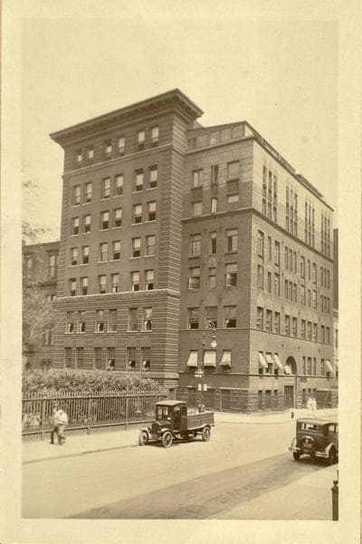
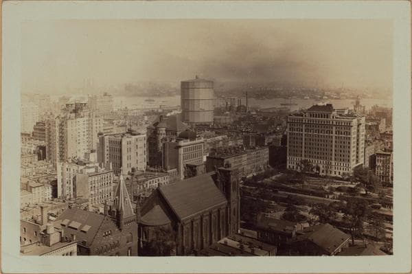
(1) Stuyvesant Square Park: An open area between East 15th (right, southern boundary) and East 17th (left, northern boundary) Streets, that is bisected by Second Ave. The eastern side of same, as shown with the Beth Israel Hospital thereon, is Livingston Place. On the lower left appears the nave and bell-tower of St. Georges P.E. Church, located on the western edge, which is called Rutherford Place. This park, a portion of the former Stuyvesant Farm was bequeathed to the City by Peter Stuyvesant. The Park Department in conjunction with the W.P.A. attempted to improve same in 1936, as a playground for East Side children, but were restrained by the various hospitals in this vicinity. Their plea being based upon the original grant of land; "for park purposes." A judicial decree was granted in their favor. For further data, see newspapers for 1936-1937. Photographers vantage point is the Consolidated Edison Building, No. 4 Irving Place and shows an eastward perspective across the "Gas House" area of Manhattan to Greenpoint, Brooklyn. Separating these localities of the City is the East River. September 23, 1930. P. L. Sperr. (2 & 3) Two similar views, taken the same day. September 23, 1930. P. L. Sperr.
Photo from the New York Public Library - Milstein Collection