VVestiges of New York49,000+ historical photos
MapBrowseAbout
  1. Browse /
  2. 1930s /
  3. This photo
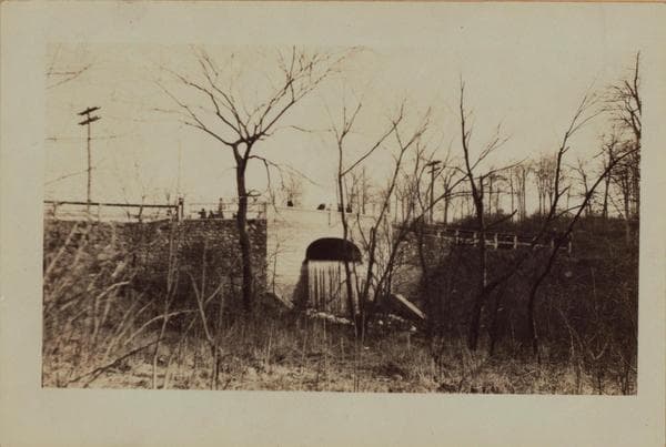
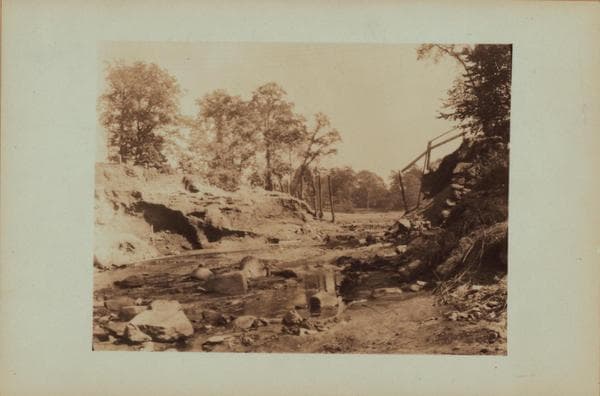
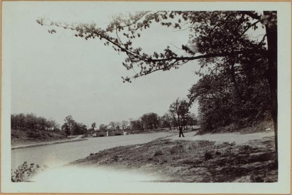
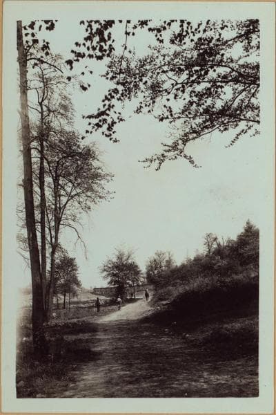
Richmond: [Staten Island] - Clove Lakes Park - Roads.

1935; 1936

Richmond: [Staten Island] - Clove Lakes Park - Roads.

Clove Lakes Park: Dirt roads in the vicinity of Richmond Lake and Martling Ave. Views 1 and 2 were taken May 13, 1935, and view 3, Aug. 9, 1936. P. L. Sperr.

Photo from the New York Public Library - Milstein Collection
View this location on the map →View on NYPL Digital Collections (opens in a new tab) →

More photos from this spot

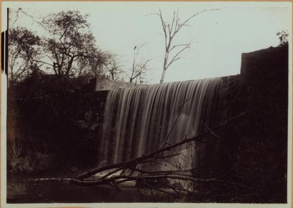
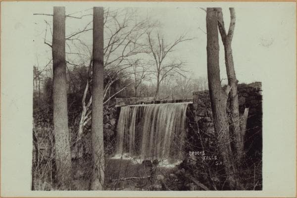
  • Richmond: Staten Island - Clove Lakes Park - Brook's Falls.

    1905

  • Richmond: [Staten Island] - Clove Lakes Park - Martling's Falls.

    1905; 1924

  • Richmond: [Staten Island] - Clove Lakes Park - Clove Lake dam.

    1926

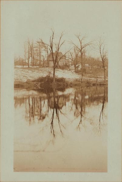
  • Richmond: [Staten Island] - Clove Lakes Park - Brook's Lake.

    1905; 1924

  • Richmond: [Staten Island] - Clove Lakes Park - Brook's Lake.

    1935

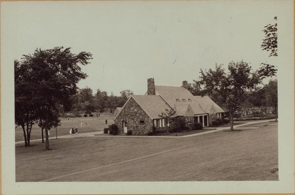
  • Richmond: [Staten Island] - Clove Lakes Park - Park building.

    1937

  • Richmond: [Staten Island] - Clove Lakes Park - Brook's Lake.

    1905; 1924

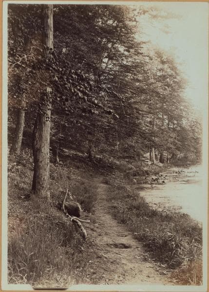
  • Richmond:] Staten Island - Clove Lakes Park - [View of walk path skirting Clove Lake.

    1910

  • Richmond:] Staten Island - Clove Lakes Park - Brook's Falls.

    1905; 1910

  • Richmond: [Staten Island] - Clove Lakes Park - Bridle path.

    1935

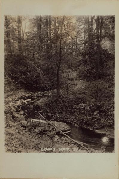
  • Richmond: Staten Island - Clove Lakes Park - Brook's Brook.

    1905

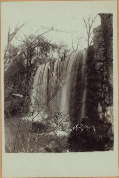
  • Richmond: Staten Island - Clove Lakes Park - Brook's Falls.

    1905

About and contactPrivacyPhotos: The New York Public Library, Milstein Collection