VVestiges of New York49,000+ historical photos
MapBrowseAboutGet the iPhone app (opens the App Store)
  1. Browse /
  2. Brooklyn /
  3. This place

Liberty Street & Concord Street, Brooklyn

24 historical photos taken here between 1922 and 1937, oldest first.

See this spot on the map

Photos

  • Brooklyn: Fulton Street - Concord Street, 1922

    Brooklyn: Fulton Street - Concord Street
    1922

  • Brooklyn: Fulton Street - Concord Street, 1922

    Brooklyn: Fulton Street - Concord Street
    1922

  • Brooklyn: Fulton Street - Concord Street, 1922

    Brooklyn: Fulton Street - Concord Street
    1922

  • Brooklyn: Fulton Street - Pineapple Street, 1922–1925

    Brooklyn: Fulton Street - Pineapple Street

    1922; 1925

  • Brooklyn: Fulton Street - Pineapple Street, 1922–1925

    Brooklyn: Fulton Street - Pineapple Street

    1922; 1925
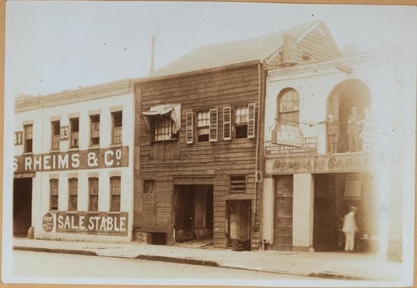
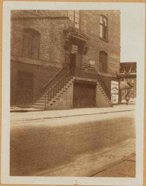
  • Brooklyn: Liberty Street - Concord Street, 1922

    Brooklyn: Liberty Street - Concord Street
    1922

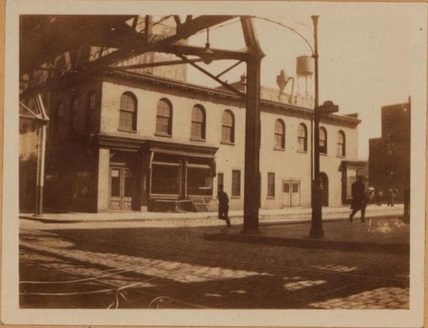
  • Brooklyn: Pineapple Street - Fulton Street, 1925

    Brooklyn: Pineapple Street - Fulton Street
    1925

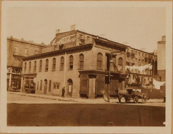
  • Brooklyn: Concord Street - Fulton Street, 1928

    Brooklyn: Concord Street - Fulton Street
    1928

  • Brooklyn: Concord Street - Fulton Street, 1928

    Brooklyn: Concord Street - Fulton Street

    1928

  • Brooklyn: Liberty Street - Concord Street, 1931–1936

    Brooklyn: Liberty Street - Concord Street

    1931; 1935; 1936
  • Brooklyn: Concord Street - Fulton Street, 1931

    Brooklyn: Concord Street - Fulton Street
    1931

  • Brooklyn: Liberty Street - Concord Street, 1931–1936

    Brooklyn: Liberty Street - Concord Street

    1931; 1936
  • Brooklyn: Liberty Street - Concord Street, 1931–1936

    Brooklyn: Liberty Street - Concord Street

    1931; 1936
  • Brooklyn: Liberty Street - Concord Street, 1931–1936

    Brooklyn: Liberty Street - Concord Street

    1931; 1935; 1936

  • Brooklyn: Liberty Street - Concord Street, 1931–1936

    Brooklyn: Liberty Street - Concord Street

    1931; 1936
  • Brooklyn: Liberty Street - Concord Street, 1931–1936

    Brooklyn: Liberty Street - Concord Street

    1931; 1936
  • Brooklyn: Liberty Street - Concord Street, 1931

    Brooklyn: Liberty Street - Concord Street
    1931

  • Brooklyn: Liberty Street - Concord Street, 1931

    Brooklyn: Liberty Street - Concord Street
    1931

  • Brooklyn: Liberty Street - Concord Street, 1931–1936

    Brooklyn: Liberty Street - Concord Street

    1931; 1936

  • Brooklyn: Fulton Street - Tillary Street, 1936

    Brooklyn: Fulton Street - Tillary Street
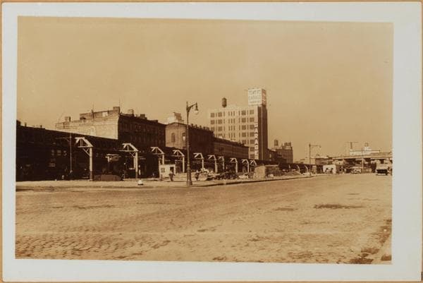
    1936

  • Brooklyn: Liberty Street - Concord Street, 1936

    Brooklyn: Liberty Street - Concord Street
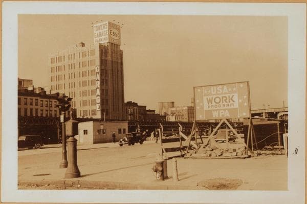
    1936

  • Brooklyn: Liberty Street - Concord Street, 1936

    Brooklyn: Liberty Street - Concord Street

    1936

  • Brooklyn: Fulton Street - Tillary Street, 1936

    Brooklyn: Fulton Street - Tillary Street
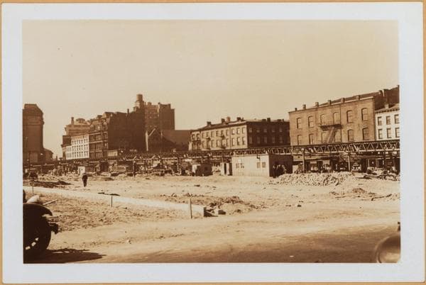
    1936

  • Brooklyn: Fulton Street - Pineapple Street, 1937

    Brooklyn: Fulton Street - Pineapple Street

    1937

Stand where these photos were taken

The free OldNYC app for iPhone centers the map on you and shows the historical photos taken closest to where you are.
Download on the App Store (opens the App Store)
QR code that opens OldNYC on the App Store

Or scan with your iPhone

Nearby places

  • Washington St & Concord St, Brooklyn (4 photos)
  • Liberty Street & Nassau Street, Brooklyn (10 photos)
  • Washington St & High St, Brooklyn (9 photos)
  • Henry Street & Cranberry Street, Brooklyn (28 photos)
  • Monroe Place & Clark Street, Brooklyn (4 photos)
  • Henry Street & Clark Street, Brooklyn (12 photos)
  • Tillary St & Fulton St, Brooklyn (38 photos)
  • Washington St & Sands St, Brooklyn (2 photos)

Explore

  • Map
  • Browse by place
  • Browse by decade

Boroughs

  • Manhattan
  • Brooklyn
  • Queens
  • Bronx
  • Staten Island

About

  • About and contact
  • Privacy

Photos: The New York Public Library, Milstein Collection

OldNYC for iPhone

Find the historical photos taken closest to where you stand.

Download on the App Store (opens the App Store)QR code that opens OldNYC on the App Store
Brooklyn: Fulton Street - Concord Street, 1922

Photo 2 of 24 at Liberty Street & Concord Street, Brooklyn

Brooklyn: Fulton Street - Concord Street

1922

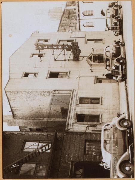
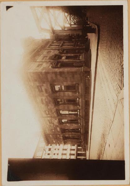
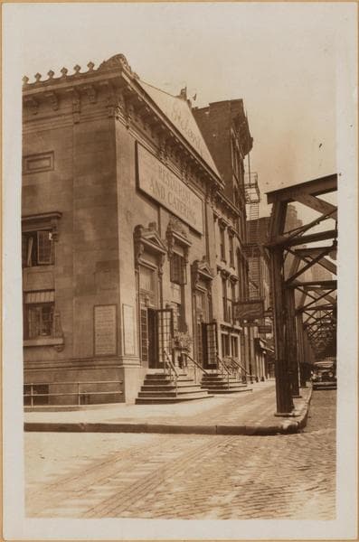
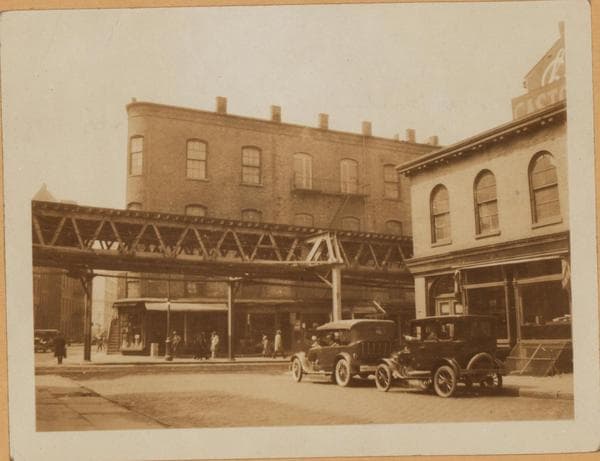
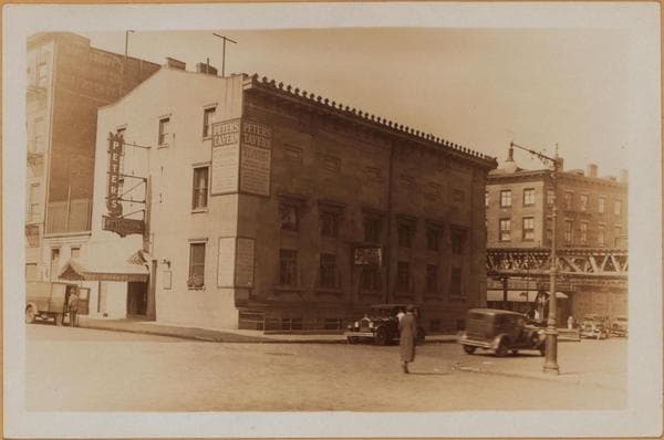
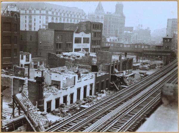
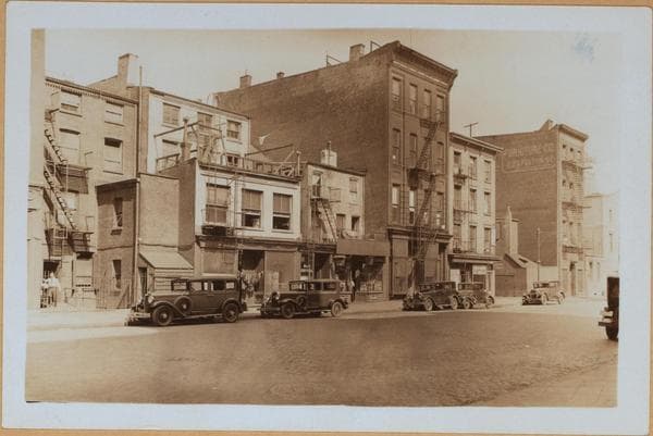
(1) 217 Fulton Street (right, "El" thereon), at the S. E. corner of Concord Street, showing the Brooklyn Savings Bank of the 1800's, the building extending east to Liberty Street and bearing number 62 on the latter. The bank purchased the building in 1846 and rebuilt it in the 1880's. It was sold in 1908 and a new bank structure erected at Pierpont and Clinton Streets. Peter's Tavern later came to occupy the building. 1922 Eugene L. Armbruster Collection (2) The old bank building, being used as Peter's Tavern. June 2, 1931 P. L. Sperr (3) The Liberty Street side of the building, here three stories high and bearing number 62. The building was later demolished, as were many others in this area, to make way for a wider approach to the Brooklyn Bridge. October 4, 1935 Works Progress Administration Five Boroughs Project

Photo from the New York Public Library - Milstein Collection

See this spot on the mapView on NYPL Digital Collections (opens in a new tab)

See this photo in high resolution

Zoom into the full-resolution scan in the OldNYC app for iPhone with OldNYC Supporter ($4.99). The free app also centers the map on you, so you can find the photos taken closest to where you stand.
Download on the App Store (opens the App Store)
QR code that opens OldNYC on the App Store

Or scan with your iPhone