1929; 1930; 1932
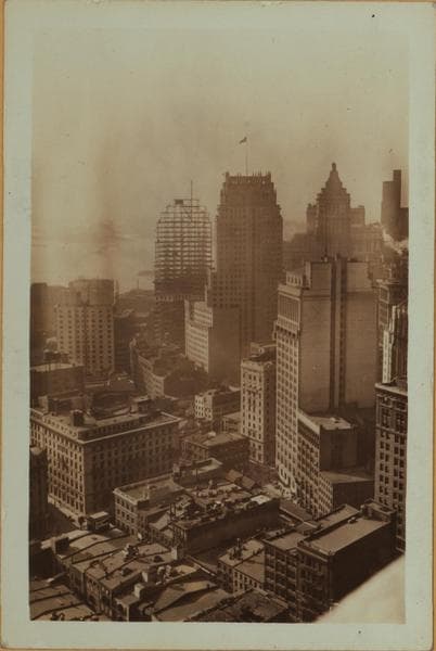
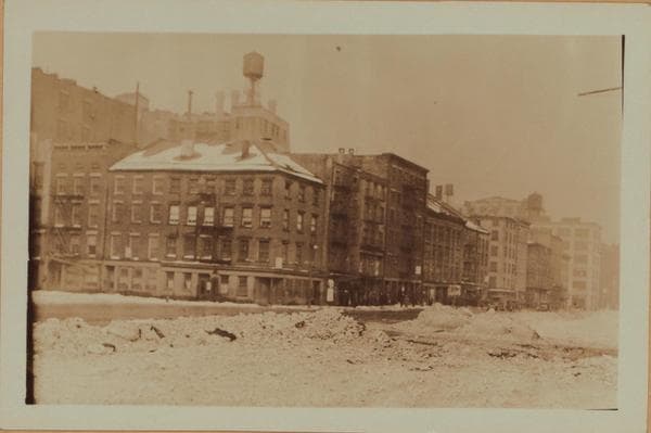
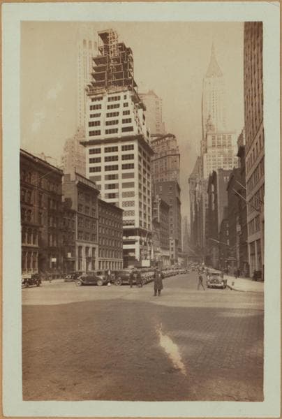
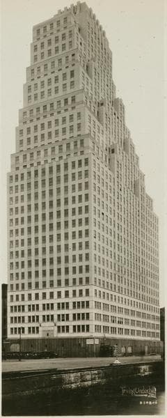
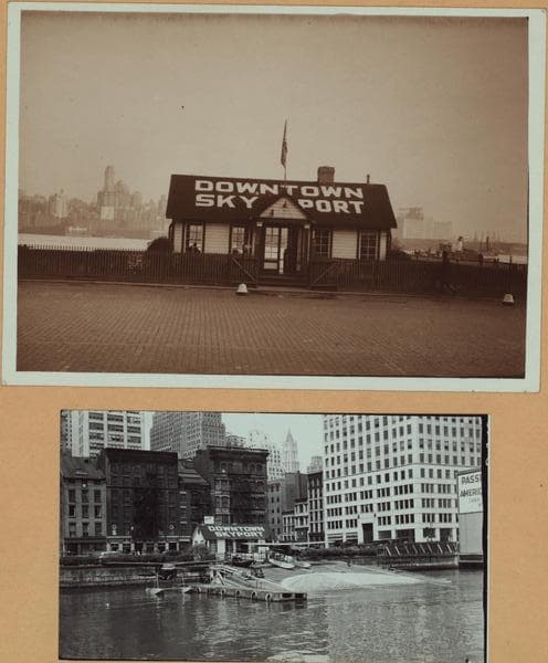
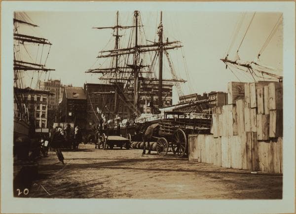
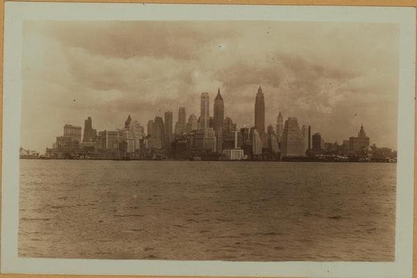
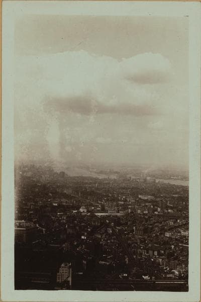
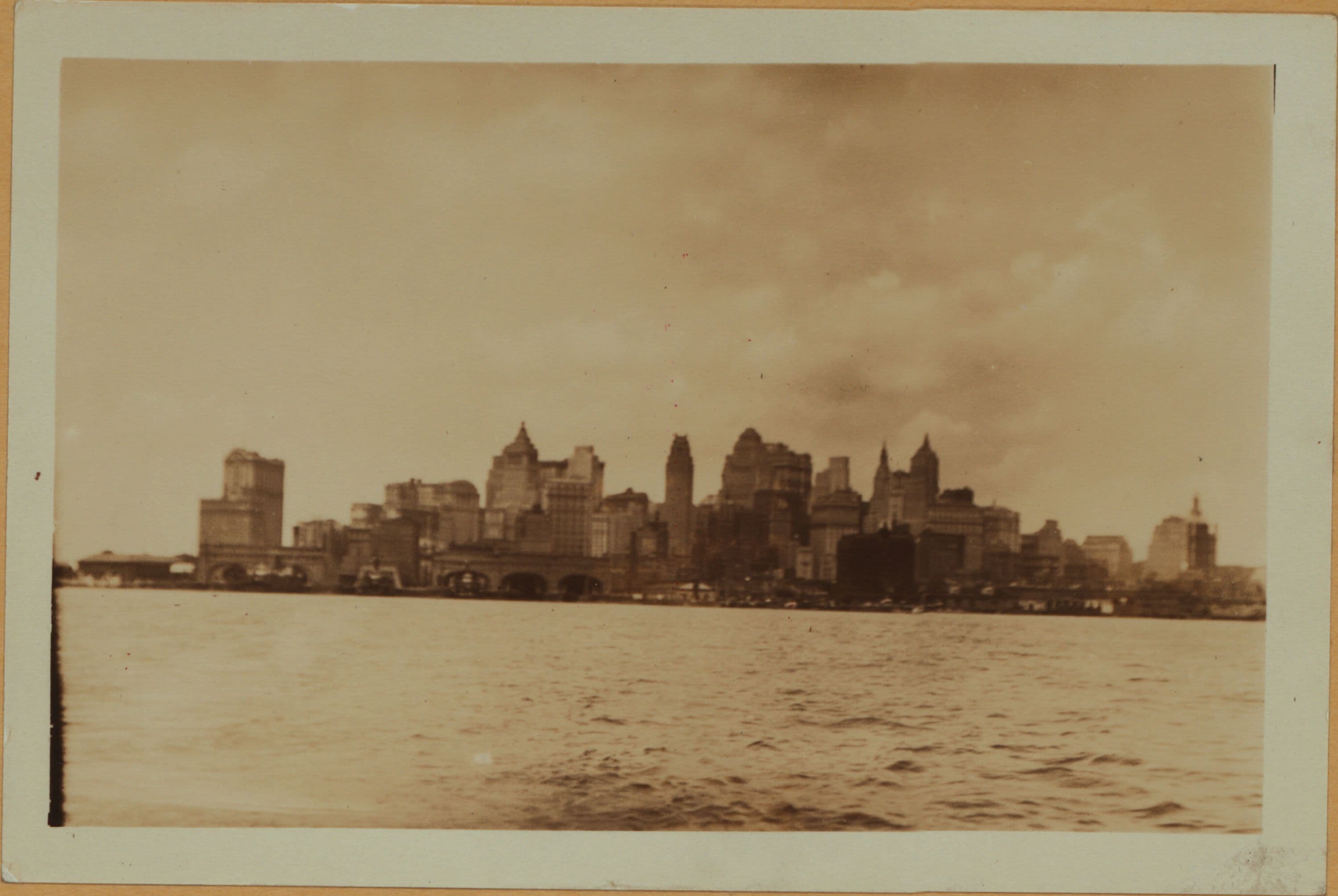
East River - Shore and skyline of lower Manhattan - South Ferry - Williamsburg Bridge - Battery Park - John Street.
(1) East River, from Battery Park (left) to John Street, showing the skyline of Lower Manhattan and faintly visible from (left to right) the U.S. Barge Office, the Staten Island and South Brooklyn Ferry landings and pier 4. June 23, 1929. P. L. Sperr. (2) The same; at a later date and showing the change of the skyline. On the extreme right is seen the American Sugar Refining Co. Building (120 Wall Street), the 60 Wall Street Tower (under construction) and the Bank of Manhattan Building. September 1, 1930. P. L. Sperr. (3) The same, at a still later date. The Municipal Building is visible on the extreme right, and the U.S. Assay Office (low building) in the center. To the left of the Bank of Manhattan Building appears the City Bank Farmers Trust Co. Building. The point of vantage is pier 22, Porto Rico Line, Brooklyn. July 2, 1932. P. L. Sperr.
Photo from the New York Public Library - Milstein Collection