1936
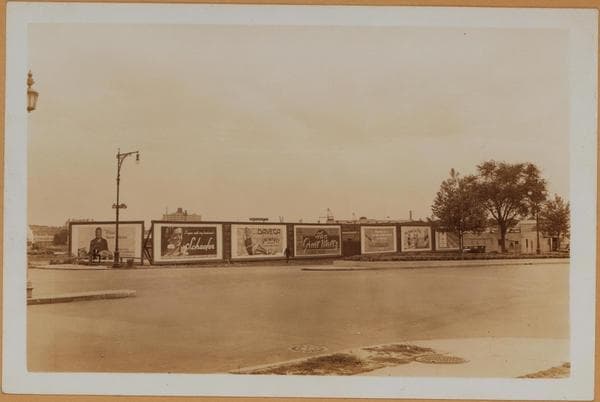
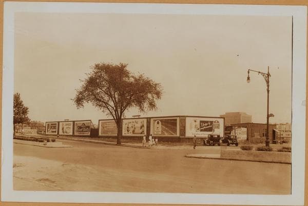
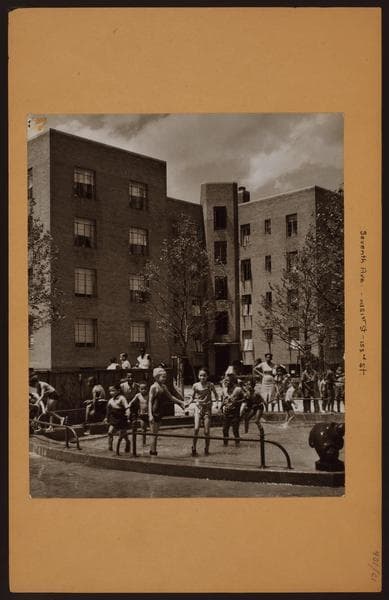
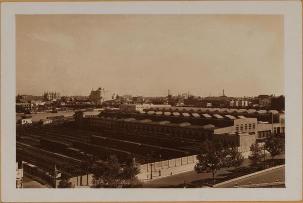
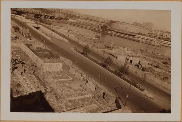
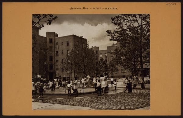
Manhattan: 7th Avenue - 151st Street
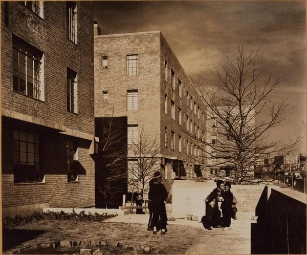
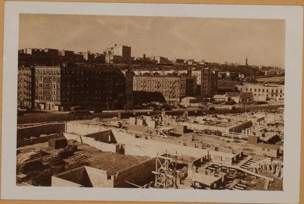
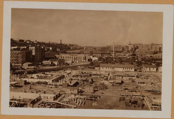
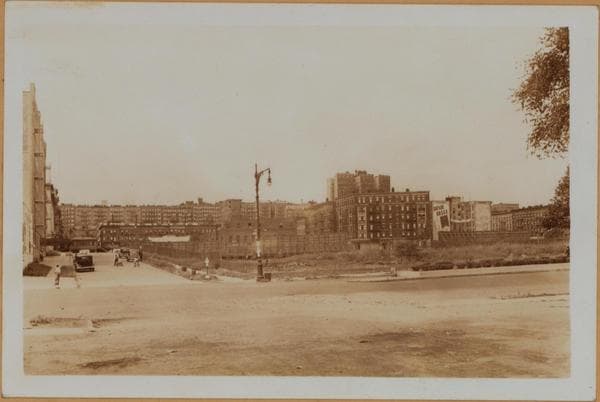
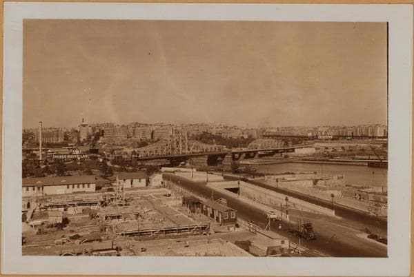
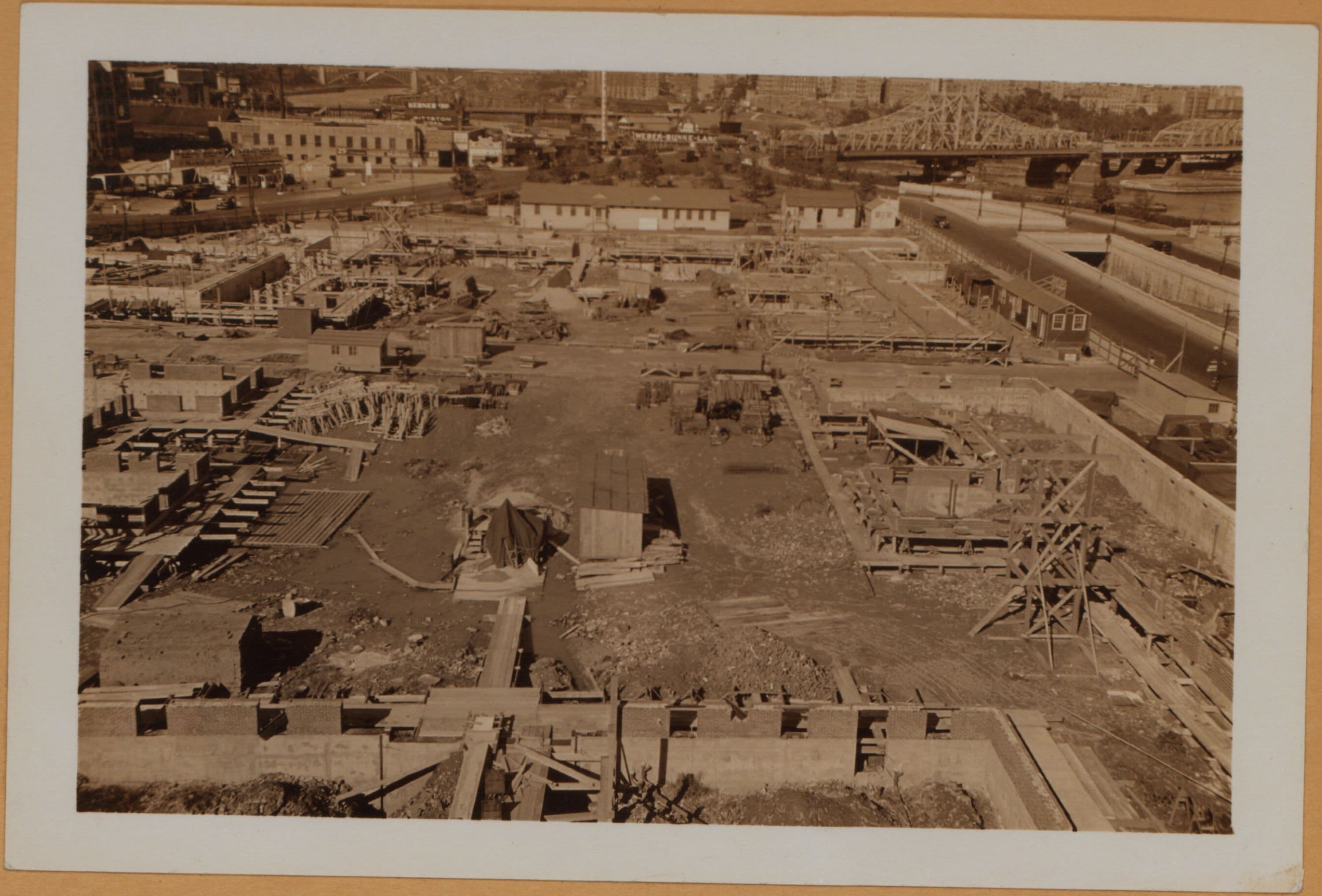
(1) The new United States Government Housing development on Seventh Ave. (right) north from West 151st (Foreground) to 153rd Streets, and west to Macombs Place (left). North of this development and south of the Central Bridge (West 155th Street), appears Harlem Lane Park; a small triangular plot at the convergence of Seventh Ave., and Macombs Place at West 155th Street. September 19, 1936. P. L. Sperr. (2) A more extensive view northward. Note the serpentine course of the Harlem River. Crossing same, in the order of their appearance, are the Central (West 155th Street) Bridge, the New York and Putman R.R. Bridge (about West 158th Street) and High Bridge (about West 174th Street). September 19, 1936. P. L. Sperr. (3) A view north west and showing prominently the Macombs Place side. Shown on the extreme left, are buildings at the N.W. corner of West 152nd Street. September 19, 1936. P. L. Sperr.
Photo from the New York Public Library - Milstein Collection