1935; 1937
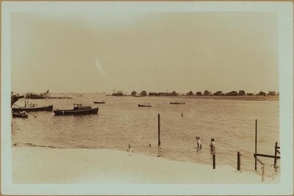
Islands - Plumb Island - Brooklyn.
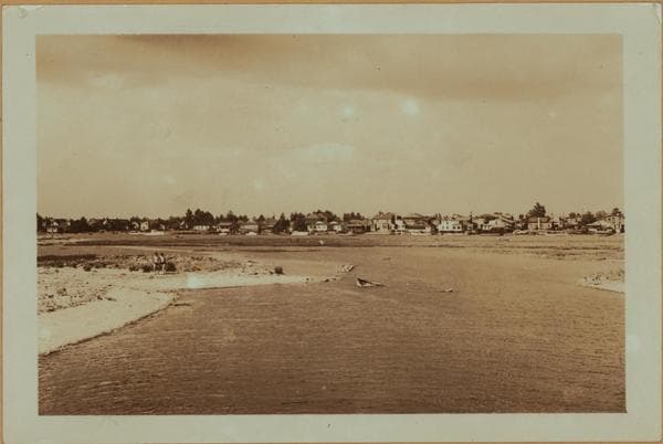
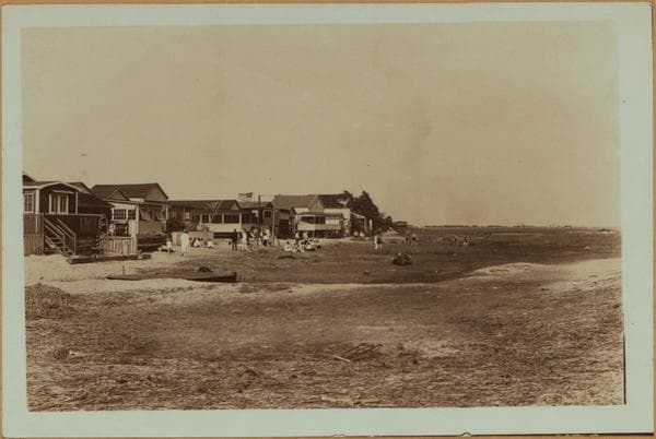
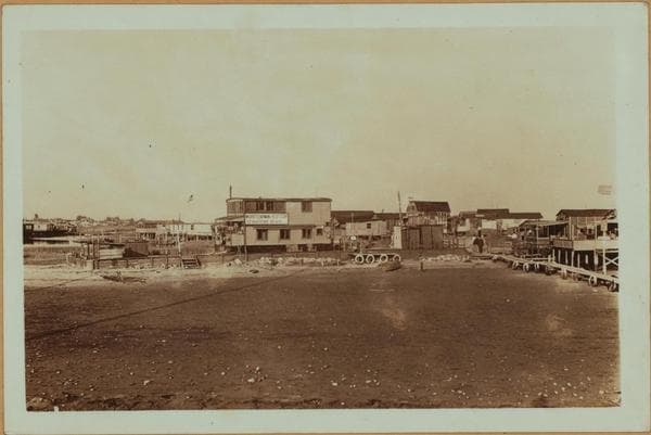
(1) Plumb Island, south side, viewed south from the center of the Island. At the left is the Rockaways and the Rockaway Inlet; at the right, Sheepshead Bay and Oriental Point, which is a Joseph P. Day development. April 29, 1937. P. L. Sperr. (2) The same, in the opposite direction and showing Gerritsen Beach in the background. The creek was excavated by the inhabitants of the aforementioned place; they claiming that Shell Bank Creek was polluted. April 29, 1937. P. L. Sperr. (3) The same, a different angle. In the background may be seen cars going to Sheepshead Bay. These cars can traverse the Island only at low tide. July 4, 1935. P. L. Sperr.
Photo from the New York Public Library - Milstein Collection
![Islands - Plumb Island (East) - Rockaway Inlet - [Tidewater Valley in Brooklyn.], 1937](/_next/image?url=https%3A%2F%2Fimages.vestigesofnewyork.com%2F600px%2F02b6436f-4668-4fb2-a0d5-5bc916a90774.jpg&w=3840&q=75)

![Islands - Plumb Island - Brooklyn - [Administrative buildings of Floyd Bennett Field.], 1937](/_next/image?url=https%3A%2F%2Fimages.vestigesofnewyork.com%2F600px%2F046f128c-4c94-4810-b2ae-1b60bb18250b.jpg&w=3840&q=75)