VVestiges of New York49,000+ historical photos
MapBrowseAbout
  1. Browse /
  2. 1920s /
  3. This photo
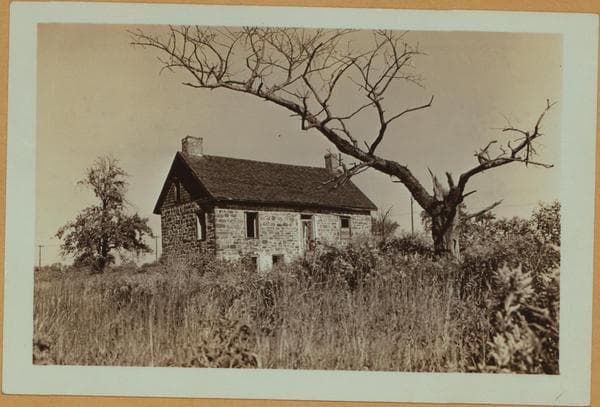
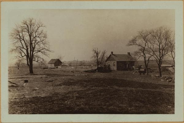
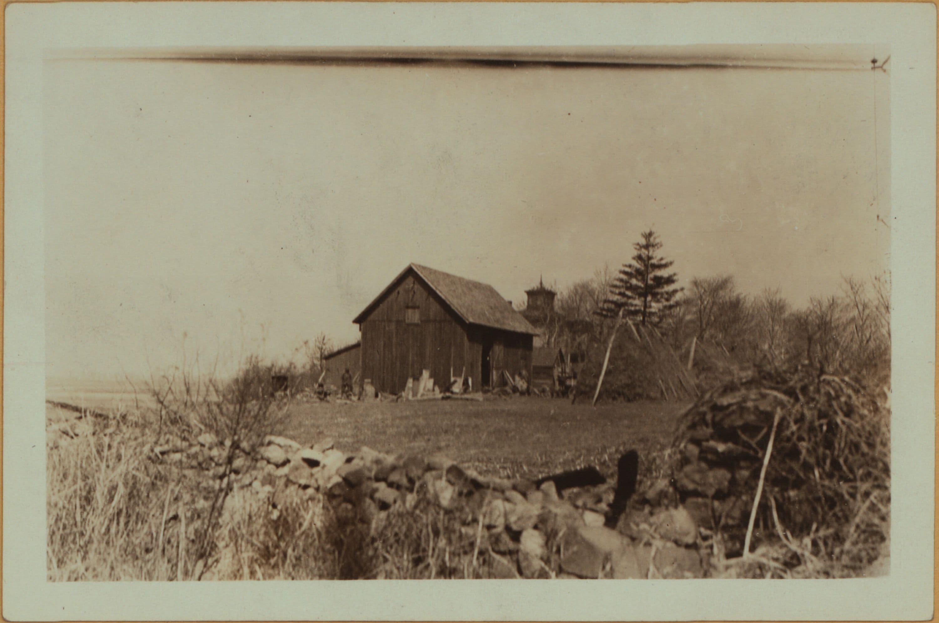
Richmond: Richmond Avenue - Dock Road

1927

Richmond: Richmond Avenue - Dock Road

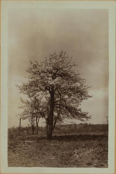
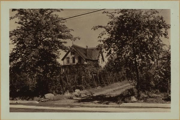
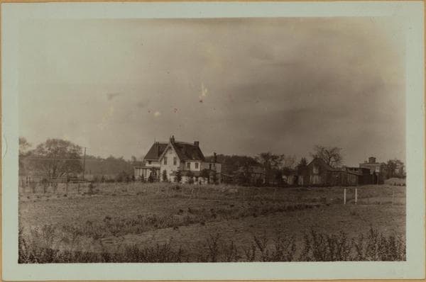
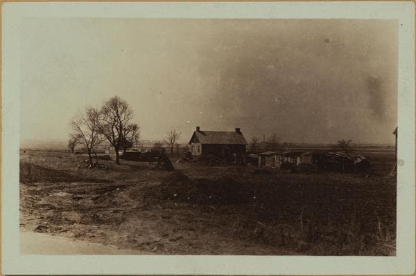
Richmond Avenue, west side, about 300 yards south of Dock Road, showing the B. N.. Du Pay farm (Beers's 1874 map). March 25, 1927 P. L. Sperr

Photo from the New York Public Library - Milstein Collection

View this location on the map →View on NYPL Digital Collections (opens in a new tab) →

More photos from this spot

  • Richmond: [Staten Island] - Richmond Avenue (East) - Richmond Hill Road - Meadow Lane.

    1937

  • Richmond: Richmond Avenue - Richmond Hill Road

    1929

  • Richmond: Richmond Road - Richmond Avenue

    1932

  • Richmond: Richmond Avenue - Richmond Hill Road

    1929; 1937

  • Richmond: Richmond Avenue - Richmond Hill Road

    1929; 1937

  • Richmond: [Staten Island] - Richmond Avenue (East) - Richmond Hill Road - Meadow Lane.

    1927

  • Richmond: [Staten Island] - Richmond Avenue (East) - Richmond Hill Road - Meadow Lane.

    1937

  • Richmond: [Staten Island] - Richmond Avenue (East) - Richmond Hill Road - Meadow Lane.

    1927

  • Richmond: Richmond Road - Richmond Avenue

    Unknown

  • Richmond: [Staten Island] - Richmond Avenue (East) - Richmond Hill Road.

    1929

  • Richmond: Dock Road - Richmond Hill Road

    1929

  • Richmond: Richmond Avenue - Richmond Hill Road

    1937

About and contactPrivacyPhotos: The New York Public Library, Milstein Collection