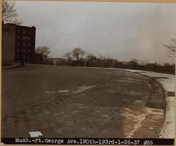
Manhattan: St. Nicholas Avenue - Fort George Avenue
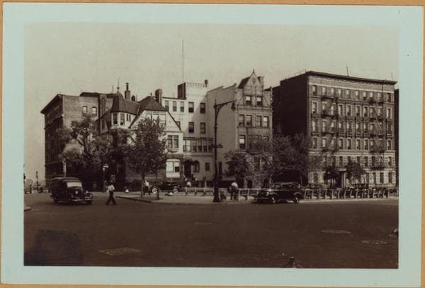
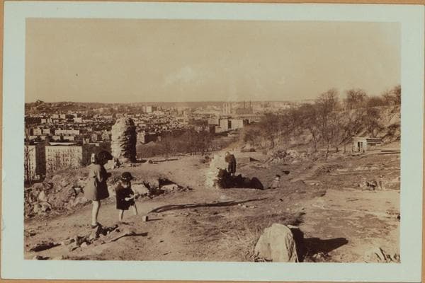
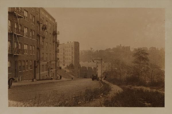
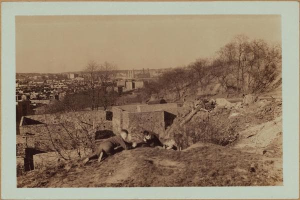
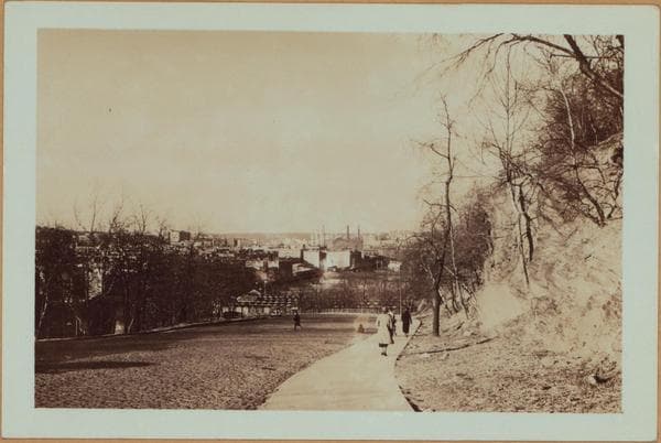
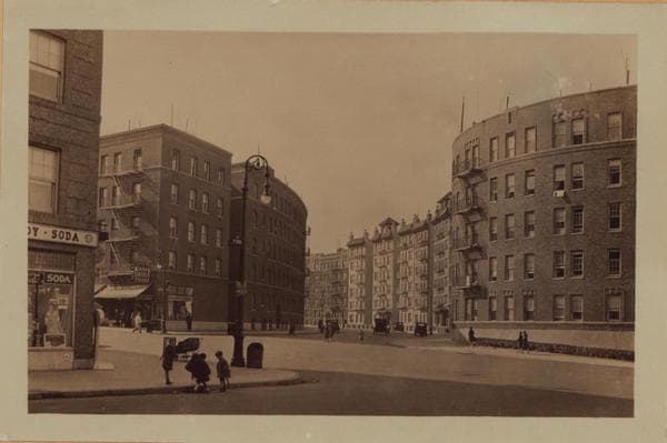
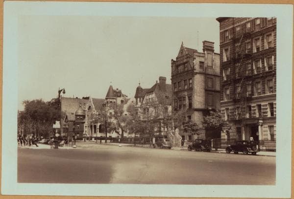
(1) St. Nicholas Ave., north from but not including Fort George Ave. From this point the avenue winds down a sharp hill and reaches Nagle Ave. at its junction with Dyckman Street and Hillside Ave. (where it terminates) This point of vantage affords a panoramic view of the northernmost sector of Manhattan, north from Dyckman Street, to Spuyten Duyvil. At the right is part of Highbridge Park, and at the left is a very steep slope reaching down to Hillside Ave. April 24, 1937. P. L. Sperr. (2) The same, from a point slightly northward. Also shown is a portion of the Seventh Ave.-Van Cortlandt Line of the Interborough Rapid Transit subway, running, at this point, on an elevated structure on Nagle Ave. April 20, 1937. P. L. Sperr. (3) The same, but showing a closer view of the point of confluence of the thoroughfares mentioned in view No. 1. At the right appears Dyckman Street as it crosses Nagle Ave. and proceeds northward. The houses seen (left) are on the east side of Dyckman Street, north from Nagle Ave., and (right) on the north side of the latter, east from the former street. Also shown (extreme left) is the Dyckman Street station of the subway line (mentioned in view 2). April 20, 1937. P. L. Sperr.
Photo from the New York Public Library - Milstein Collection


![General view - [Manhattan - St. Nicholas Avenue - Fairview Avenue - Dyckman Street (West).], 1937](/_next/image?url=https%3A%2F%2Fimages.vestigesofnewyork.com%2F600px%2Fc3581d16-d619-40dd-b8e6-3eabf66b6120.jpg&w=3840&q=75)