1932
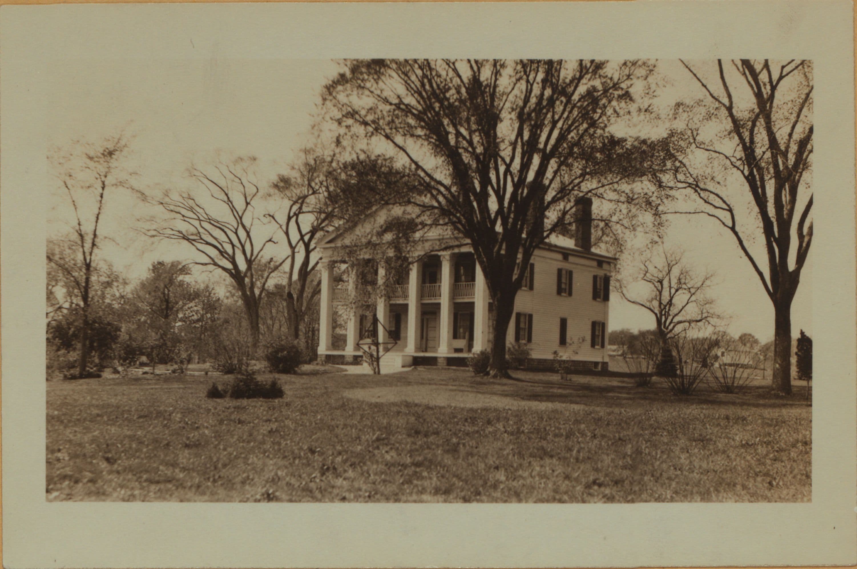
Richmond: Seguine Avenue - Wilbur Street
(1) Seguine Avenue, west side, between Wilbur Street and Melville Street, showing the Seguine House, a colonial home. It appears on the James Bulter map of 1853 as having belonged to the Seguine family; the Beers's map of 1874 shows it to have belonged to J. Middleton, and was known as the Prince's Bay House; the 1907 and 1917 maps of G. W. Bromley indicate it as the Chas. S.T. Stout house. 1924. P. L. Sperr (2) A distant view of the house in an easterly direction, as seen from the west bank of Lemon Creek. May 14, 1932. P. L. Sperr (3) The same, an additional view. May 14, 1932. P. L. Sperr
Photo from the New York Public Library - Milstein Collection

