![East River - Shore and skyline of Manhattan between East 85th and 92nd Streets - Queensborough Bridge - [Doctor's Hospital - Municipal Asphalt Plant - Miss Chapin's School.]](/_next/image?url=https%3A%2F%2Fimages.vestigesofnewyork.com%2Fhigh-res%2F4e1133e9-a2bd-4f0d-9df0-a0433e723fe8.jpg&w=3840&q=75)
1931; 1933
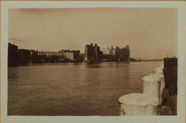
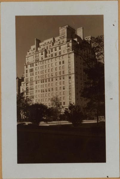
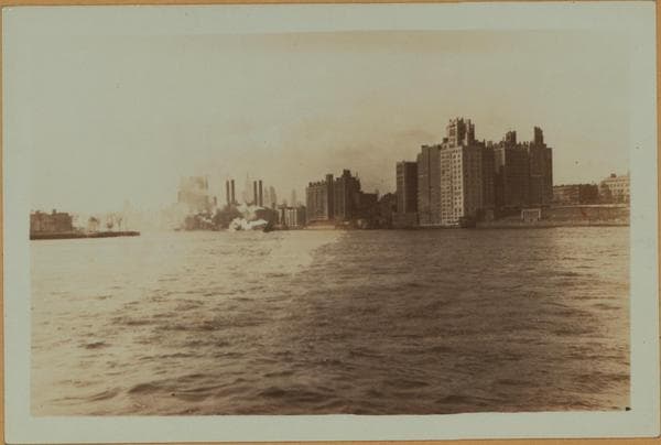
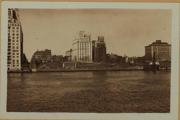
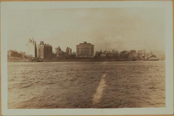
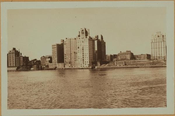
East River - Shore and skyline of Manhattan between East 85th and 92nd Streets - Queensborough Bridge - [Doctor's Hospital - Municipal Asphalt Plant - Miss Chapin's School.]
(1) East River, from East 85th (left) to East 92nd Streets, showing prominently (left to right) the 17-story apartment house, No. 120 East End Ave., at the N.E. corner of East 85th Street; 130 East End Ave., at the N.W. corner of East 86th Street; Doctor's Hospital from East 87th to East 88th Streets; all facing on Carl Schurz Park. On the extreme right is visible the Municipal Asphalt plant, from East 90th to East 91st Streets. The point of vantage is the Astoria Ferry in midstream. March 11, 1931. P. L. Sperr. (2) The same, at a later date and showing a slightly limited view (to East 89th Street). The point of vantage is Welfare Island. April 5, 1933. P. L. Sperr. (3) The same, from Gracie Square (East 84th Street) to East 88th Street. On the extreme left is shown a portion of No. 10-12 Gracie Square, and slightly north of it, Miss Chapin's School, at the N.E. corner of East End Ave., and East 84th Street facing Carl Schurz Park. The vantage point is Welfare Island. April 5, 1933. P. L. Sperr.
Photo from the New York Public Library - Milstein Collection