Brooklyn: Kings Highway - Church Avenue
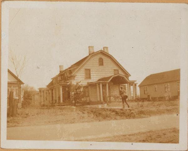
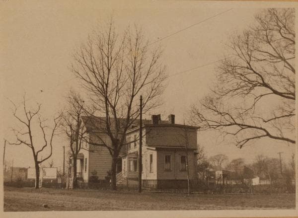
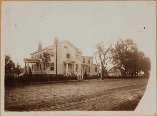
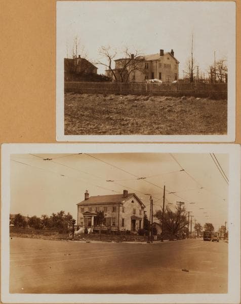
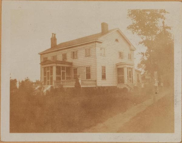
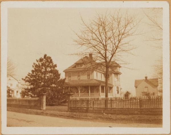
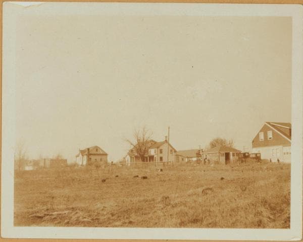
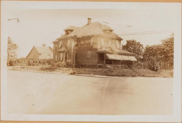
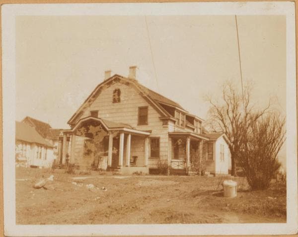
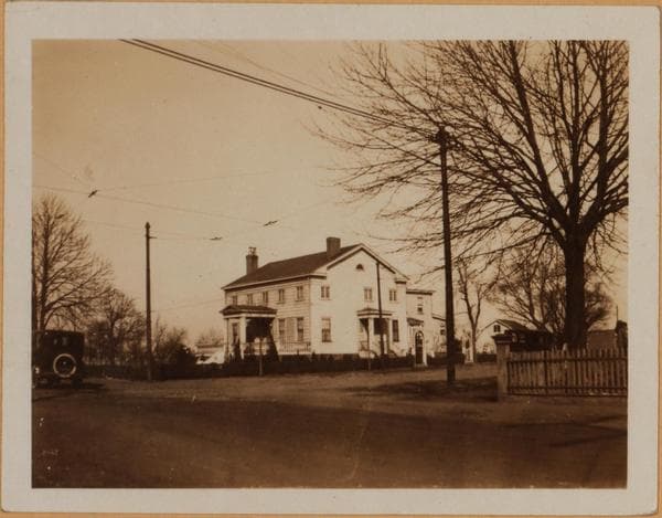
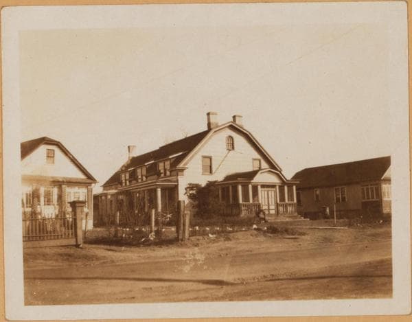
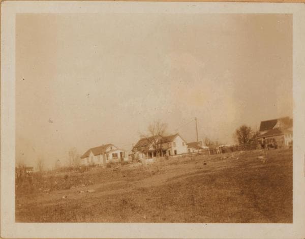
(1) 5735-5749 King's Highway, east side, between Church and Snyder Aves; showing an eastward view across East 57th Street. The one story stucco building at the right, does not appear in the 1929 Atlas. The center house in this view was known as the John Remsen farmhouse. No. 5735 is at the extreme right, partially seen. March 1925. Eugene L. Armbruster Collection. (2) The same, a closeup. September 1925. Eugene L. Armbruster Collection. (3) The same, looking northward along the newly laid out King's Highway. September 1925. Eugene L. Armbruster Collection. (4) The same, another angle. May 1925. Eugene L. Armbruster Collection.
Photo from the New York Public Library - Milstein Collection