VVestiges of New York49,000+ historical photos
MapBrowseAbout
  1. Browse /
  2. 1920s /
  3. This photo
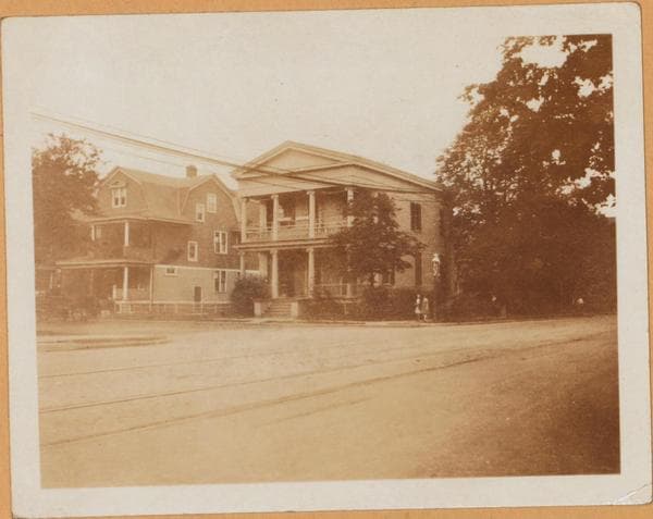
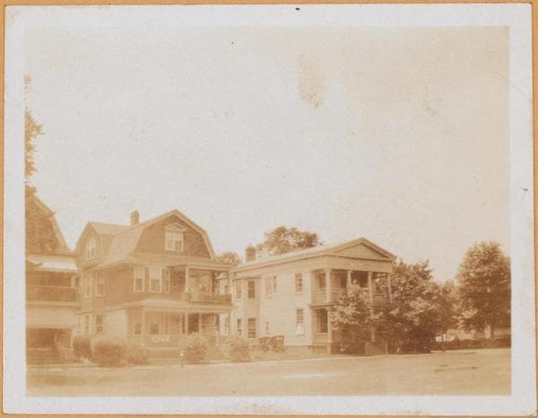
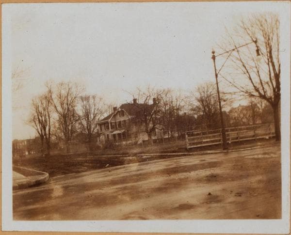
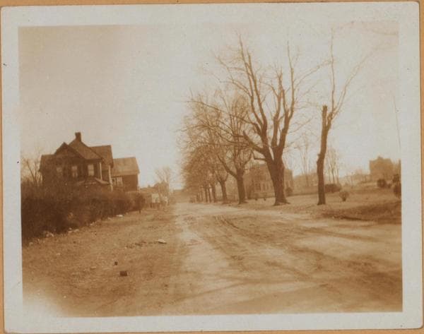
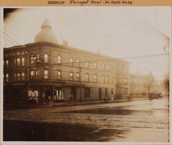
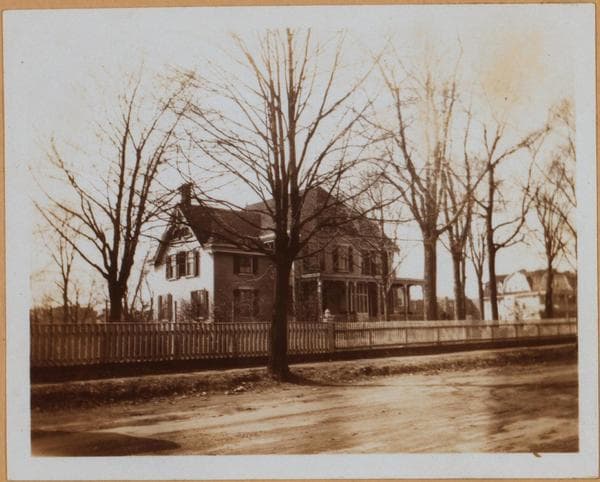
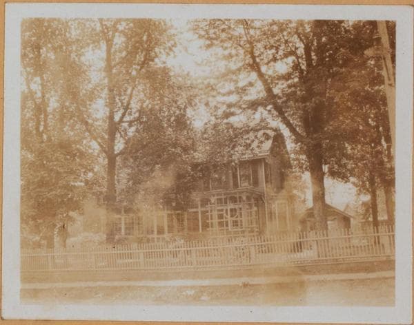
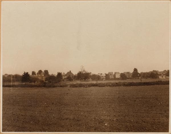
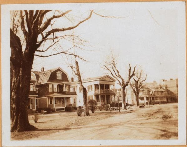
Brooklyn: Amersfort Place - Farragut Road

1925

Brooklyn: Amersfort Place - Farragut Road

41 Amersfort Place, east side, between Farragut and Glenwood Roads, showing the King's County Historical Hall, which was formerly the Church of the Nativity. (P.E.) May 1925. Eugene L. Armbruster Collection.

Photo from the New York Public Library - Milstein Collection
View this location on the map →View on NYPL Digital Collections (opens in a new tab) →

More photos from this spot

  • Brooklyn: 26th Street (East) - Farragut Road

    1922; 1925; 1929

  • Brooklyn: 26th Street (East) - Farragut Road

    1922; 1925; 1929

  • Brooklyn: 26th Street (East) - Farragut Road

    1922; 1925; 1929

  • Brooklyn: Amersfort Place - Farragut Road

    1925

  • Brooklyn: Amersfort Place - Farragut Road

    1925

  • Brooklyn: Farragut Road - Kenilworth Place

    1929

  • Brooklyn: Amersfort Place - Farragut Road

    1925

  • Brooklyn: Amersfort Place - Farragut Road

    1925

  • Brooklyn: 26th Street (East) - Farragut Road

    1923

About and contactPrivacyPhotos: The New York Public Library, Milstein Collection