VVestiges of New York49,000+ historical photos
MapBrowseAboutGet the iPhone app (opens the App Store)
  1. Browse /
  2. Manhattan /
  3. This place

West Street & West 10th Street, Manhattan

14 historical photos taken here between 1918 and 1936, oldest first.

See this spot on the map

Photos

  • Manhattan: West Street - 10th Street (West), 1918

    Manhattan: West Street - 10th Street (West)
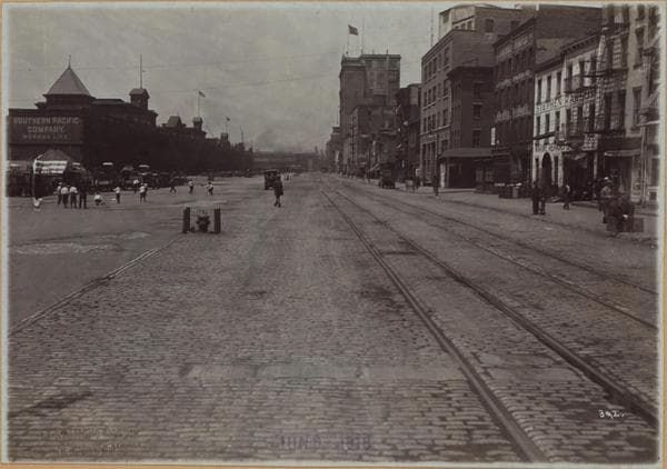
    1918

  • Manhattan: West Street - 10th Street (West), 1918

    Manhattan: West Street - 10th Street (West)

    1918

  • Manhattan: West Street - 10th Street (West), 1920

    Manhattan: West Street - 10th Street (West)

    1920

  • Manhattan: West Street - 10th Street (West), 1927–1929

    Manhattan: West Street - 10th Street (West)

    1927; 1929
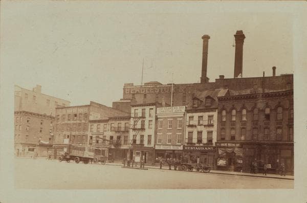
  • Manhattan: West Street - 10th Street (West), 1927–1929

    Manhattan: West Street - 10th Street (West)

    1927; 1929
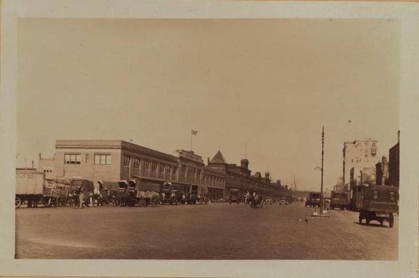
  • Manhattan: West Street - 10th Street (West), 1929

    Manhattan: West Street - 10th Street (West)
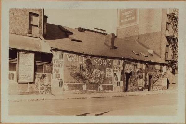
    1929

  • Manhattan: Weehawken Street - 10th Street, 1929

    Manhattan: Weehawken Street - 10th Street
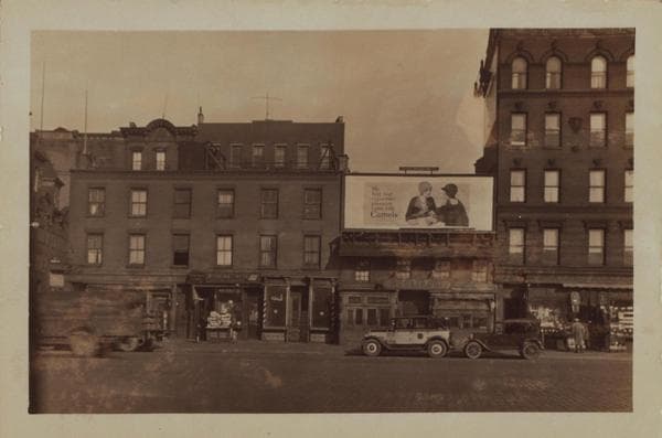
    1929

  • Manhattan: West Street - 10th Street (West), 1929

    Manhattan: West Street - 10th Street (West)

    1929

  • Manhattan: West Street - 10th Street (West), 1933

    Manhattan: West Street - 10th Street (West)
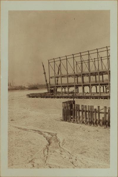
    1933

  • North (Hudson) River - Pier 45 of the Italian Line., 1936

    North (Hudson) River - Pier 45 of the Italian Line.
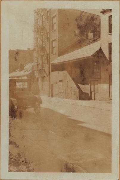
    1936

  • Manhattan: Weehawken Street - 10th Street (West), 1936

    Manhattan: Weehawken Street - 10th Street (West)
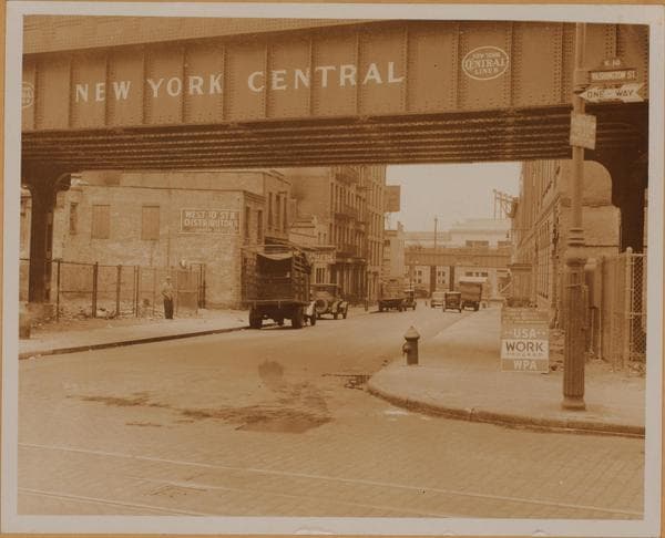
    1936

  • Manhattan: 10th Street (West) - West Street, 1936

    Manhattan: 10th Street (West) - West Street
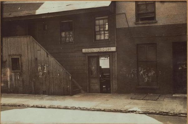
    1936

  • Manhattan: Weehawken Street - 10th Street (West), 1936

    Manhattan: Weehawken Street - 10th Street (West)
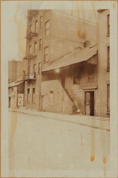
    1936

  • Manhattan: Weehawken Street - 10th Street (West), 1936

    Manhattan: Weehawken Street - 10th Street (West)

    1936

Stand where these photos were taken

The free OldNYC app for iPhone centers the map on you and shows the historical photos taken closest to where you are.
Download on the App Store (opens the App Store)
QR code that opens OldNYC on the App Store

Or scan with your iPhone

Nearby places

  • Washington Street & Christopher Street, Manhattan (22 photos)
  • West Street & Christopher Street, Manhattan (33 photos)
  • West Street & Perry Street, Manhattan (14 photos)
  • Washington Street & Barrow Street, Manhattan (12 photos)
  • Greenwich Street & Christopher Street, Manhattan (31 photos)
  • Washington Street & Charles Street, Manhattan (20 photos)
  • Barrow Street & Greenwich Street, Manhattan (10 photos)
  • West Street & Morton Street, Manhattan (17 photos)

Explore

  • Map
  • Browse by place
  • Browse by decade

Boroughs

  • Manhattan
  • Brooklyn
  • Queens
  • Bronx
  • Staten Island

About

  • About and contact
  • Privacy

Photos: The New York Public Library, Milstein Collection

OldNYC for iPhone

Find the historical photos taken closest to where you stand.

Download on the App Store (opens the App Store)QR code that opens OldNYC on the App Store
Manhattan: Weehawken Street - 10th Street (West), 1936

Photo 13 of 14 at West Street & West 10th Street, Manhattan

Manhattan: Weehawken Street - 10th Street (West)

1936

1. Weehawken Street, adjoining and south of the S.W. corner of West 10th Street, showing buildings bearing Nos. 393 to 388 West Street. These structures have no Weehawken Street numbers. They are built on the former site of the Weehawken Market which was erected subsequent to the demolition of the old New York State Prison. This street being cut through at that time. The Prison occupied this, and the surrounding area between 1797 and 1829; this being its south western section. See the New York Times, Sunday, August 22, 1937 for further information. March 8, 1929. P. L. Sperr. 2. The same. May 12, 1927. P. L. Sperr. 3. A detail showing the external stairway to the upper floor of building bearing No. 393 West Street. About 1936. Gift of Dr. Michael Wishengrad, A.R.P.S.

Photo from the New York Public Library - Milstein Collection

See this spot on the mapView on NYPL Digital Collections (opens in a new tab)

See this photo in high resolution

Zoom into the full-resolution scan in the OldNYC app for iPhone with OldNYC Supporter ($4.99). The free app also centers the map on you, so you can find the photos taken closest to where you stand.
Download on the App Store (opens the App Store)
QR code that opens OldNYC on the App Store

Or scan with your iPhone