VVestiges of New York49,000+ historical photos
MapBrowseAbout
  1. Browse /
  2. 1930s /
  3. This photo
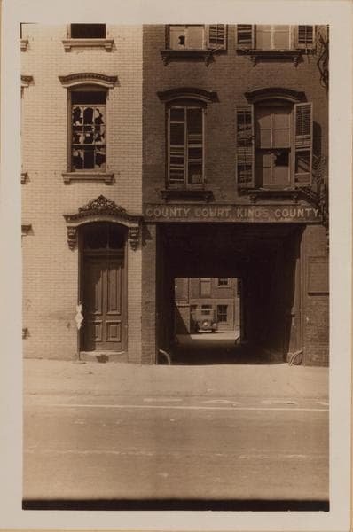
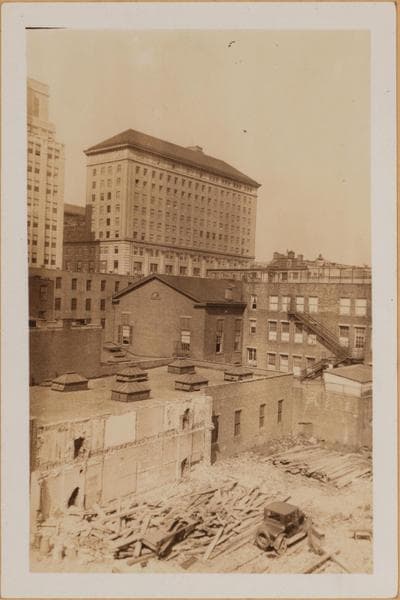
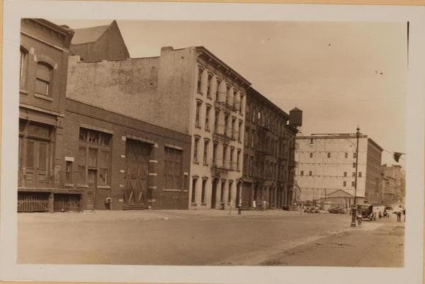
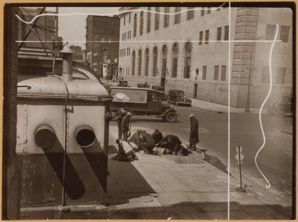
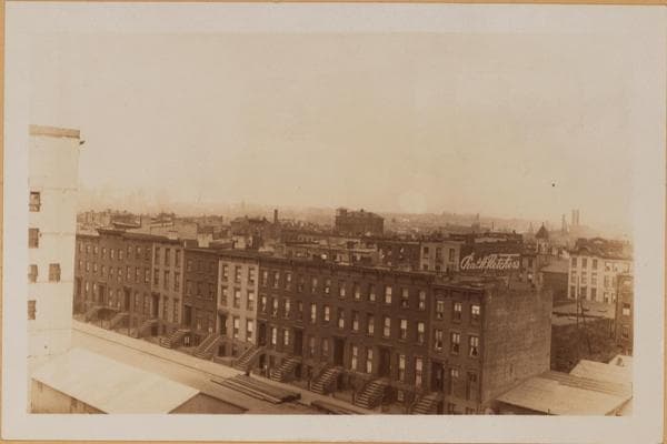
Brooklyn: Smith Street - State Street

1932

Brooklyn: Smith Street - State Street

Smith Street, east side, north from State Street to Fulton Street, and its B.M.T. Elevated Lines. April 7, 1932. P. L. Sperr.

Photo from the New York Public Library - Milstein Collection

View this location on the map →View on NYPL Digital Collections (opens in a new tab) →

More photos from this spot

  • Brooklyn: Smith Street - Atlantic Avenue

    1929

  • Brooklyn: State Street - Smith Street

    1929

  • Brooklyn: Smith Street - Atlantic Avenue

    1929

  • Brooklyn: State Street - Smith Street: Left: State Street, at the N.W. corner of Smith Street, showing site for the new Central Courts Building to be erected, October 5, 1929.Right: State Street, at the N.W. corner of Smith Street, showing the new Central Courts Building. This view of its Smith Street side and its rear was taken from State Street, April 13, 1931.

    1929; 1931

  • Brooklyn: State Street - Smith Street

    1929

  • Brooklyn: State Street - Smith Street

    1936

  • Brooklyn: State Street - Smith Street: State Street, south side, between Smith and Hoyt Streets.

    1929-06-01

  • Brooklyn: State Street - Smith Street: Left: State Street, at the N.W. corner of Smith Street, showing site for the new Central Courts Building to be erected, October 5, 1929.Right: State Street, at the N.W. corner of Smith Street, showing the new Central Courts Building. This view of its Smith Street side and its rear was taken from State Street, April 13, 1931.

    1929; 1931

  • Brooklyn: Atlantic Avenue - Smith Street

    1922

  • Brooklyn: Smith Street - State Street: Smith Street, east side, between State Street and Atlantic Avenue, looking eastward down the center of the block, showing the Williamsburg Savings Bank in the background.

    1929-06-01

About and contactPrivacyPhotos: The New York Public Library, Milstein Collection