1924; 1926
Richmond: Todt Hill Road - Verona Avenue
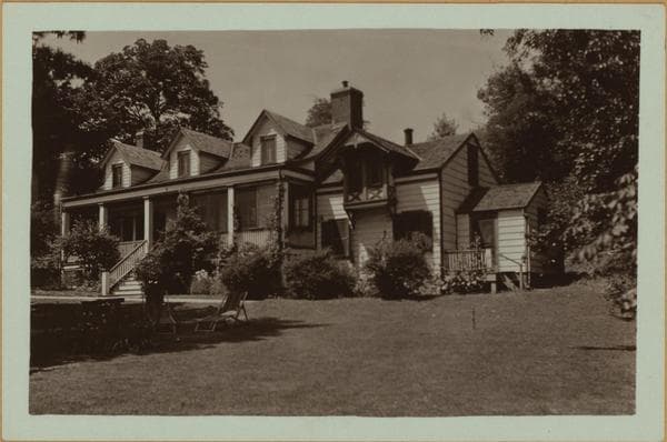
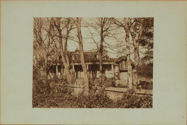
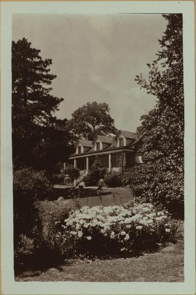
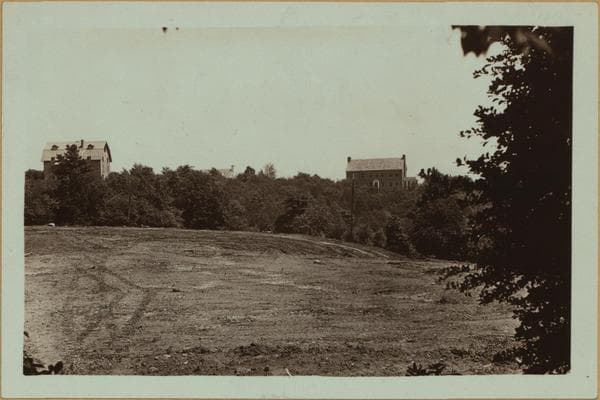
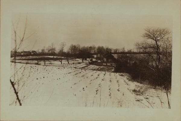
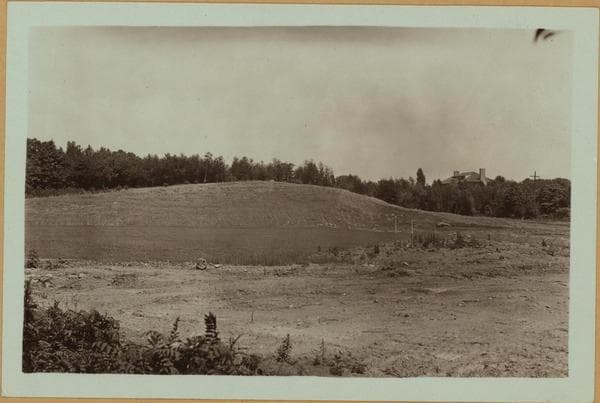
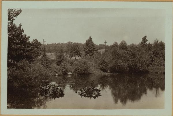
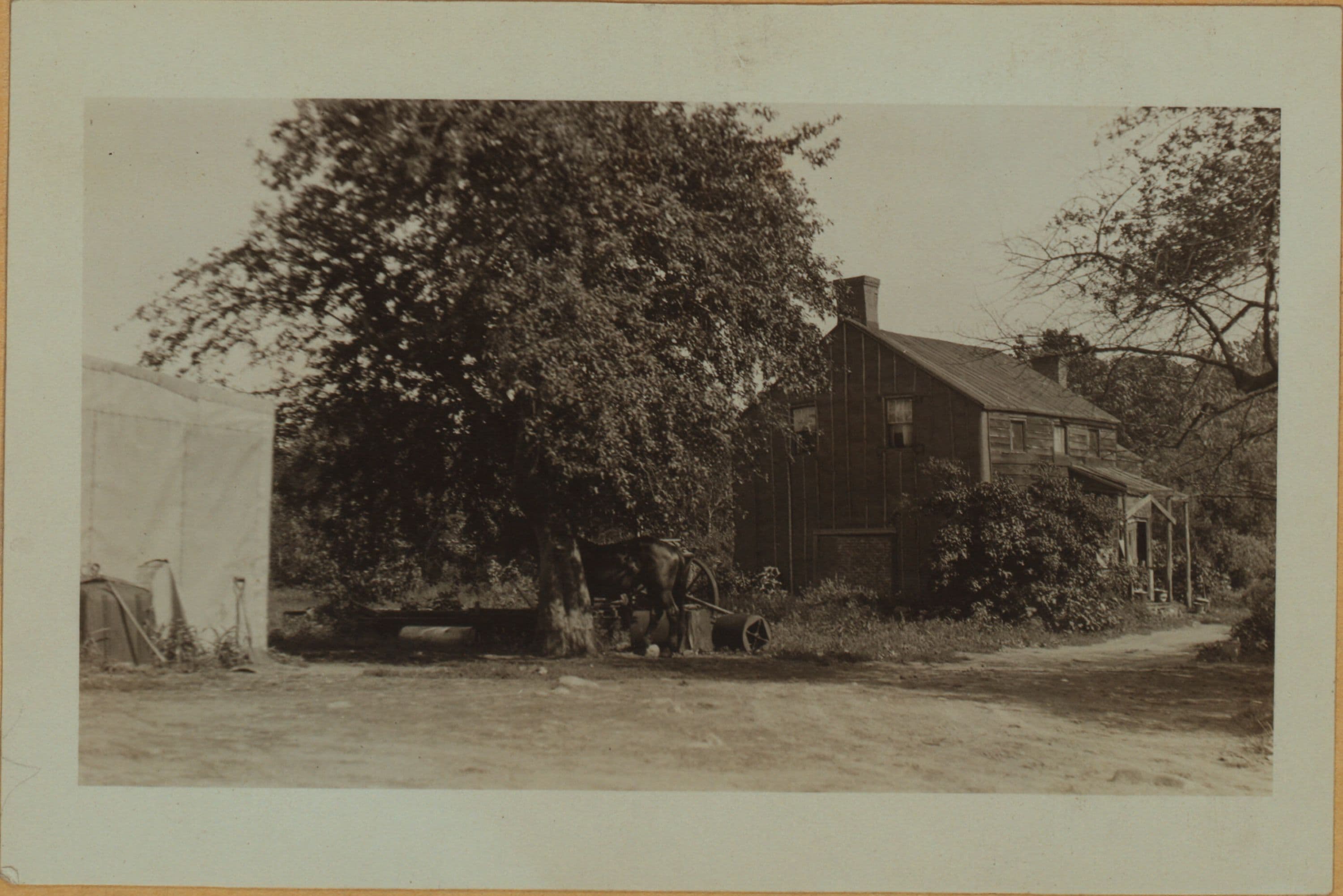
(1) Toot Hill Road, east side, between Verona Avenue and Schmidt Lane, showing the old Houseman farmhouse and farm, viewed in a northerly direction. On James Butler's 1853 map of Staten Island it appears as the A. Houseman farm; on Beers's 1874 map as the J. Burgher farm; and on the Robinson maps of 1898 and 1967 and Brownley's map of 1917 as the George J. Greenfield farm. At this date (1939) the exact location of the house would be the north side of Staten Island Boulevard, 100 yards east of Toot Hill Road. March, 1924 P. L. Sperr (2) The rear of the farmhouse and barns, looking northwestward. August 18, 1926 P. L. Sperr (3) A front view of the house, looking southeastward. August 18, 1926 P. L. Sperr
Photo from the New York Public Library - Milstein Collection