![Islands - Governor's Island - [Lower Manhattan Cityscape ; Brooklyn Bridge ; Staten Island Ferry terminal]., 1931–1937](/_next/image?url=https%3A%2F%2Fimages.vestigesofnewyork.com%2Fhigh-res%2Fab59d970-fd57-4f9b-a906-1652faa478f7.jpg&w=3840&q=75)
1931; 1937
Islands - Governor's Island - [Lower Manhattan Cityscape ; Brooklyn Bridge ; Staten Island Ferry terminal].
(1) Governor's Island (Fort Jay) in the Upper New York Bay, showing its northern section, as viewed from the Staten Island Ferry landing at Battery Park. P. L. Sperr. (2) A view of the northeastern portion of the island as seen from Buttermilk Channel. Across the island appears the skyline of Lower Manhattan and (right) the Brooklyn Bridge. July 9, 1933. P. L. Sperr. (3) A fuller view of the island, as viewed in a northerly direction from the Upper Bay. P. L. Sperr. August 6, 1937.
Photo from the New York Public Library - Milstein Collection
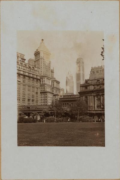
![Manhattan: Battery Park - [View from confluence of North (Hudson) and East Rivers.], 1937](/_next/image?url=https%3A%2F%2Fimages.vestigesofnewyork.com%2F600px%2F02dc084d-f84a-4ec5-bc9a-d5a63fac2869.jpg&w=3840&q=75)
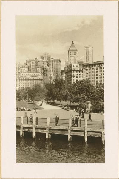
![Islands - Governors Island - [Post Chapel.], 1935](/_next/image?url=https%3A%2F%2Fimages.vestigesofnewyork.com%2F600px%2F03966842-924f-4c8f-8e4c-507e805ef14e.jpg&w=3840&q=75)
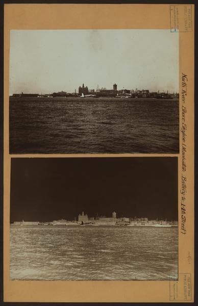
![North (Hudson) River - Shore and skyline - Manhattan - Battery - 14th Street - [Ellis Island Ferry House - United States Barge Office.], 1925–1926](/_next/image?url=https%3A%2F%2Fimages.vestigesofnewyork.com%2F600px%2F07582f87-637e-4482-9e86-7a4927e1ace3.jpg&w=3840&q=75)
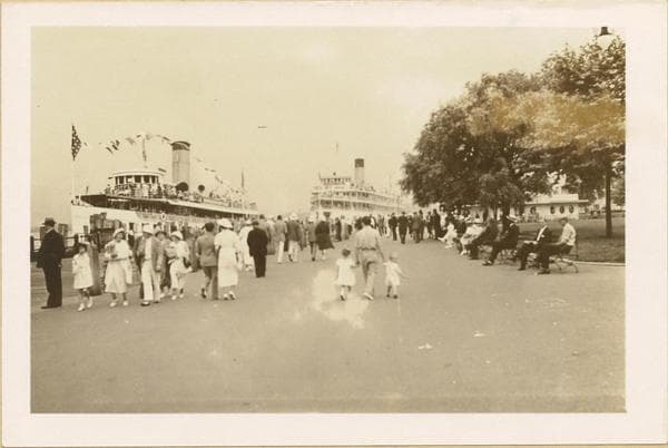
![North (Hudson) River - Shore and Skyline - Manhattan - Battery - 14th Street - [New York Telephone Company ; Woolworth Building]., 1926](/_next/image?url=https%3A%2F%2Fimages.vestigesofnewyork.com%2F600px%2F0a3f8849-7cfb-4281-8ffb-69b6ee1fe8b7.jpg&w=3840&q=75)