VVestiges of New York49,000+ historical photos
MapBrowseAbout
  1. Browse /
  2. 1930s /
  3. This photo
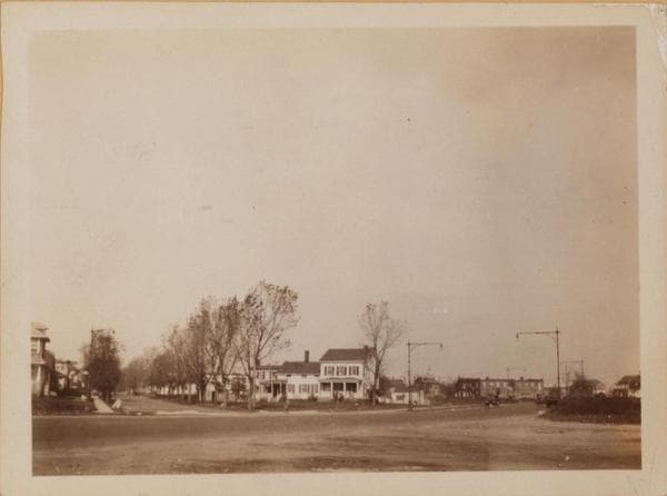
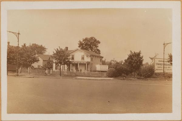
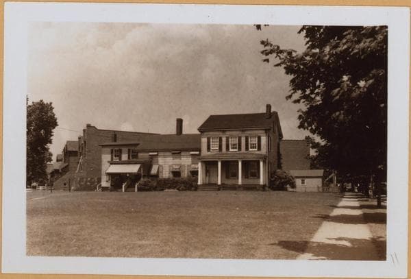
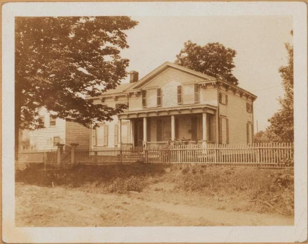
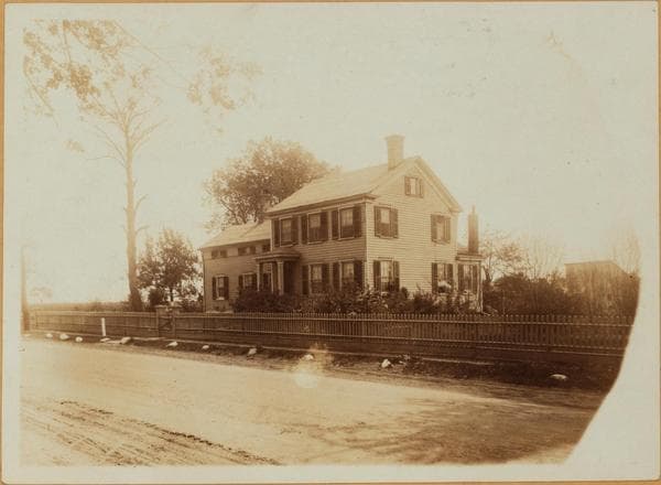
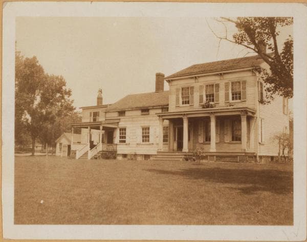
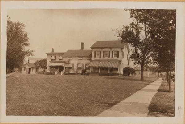
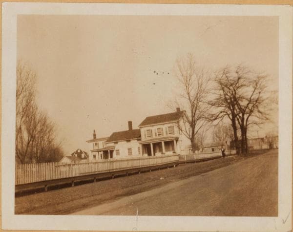
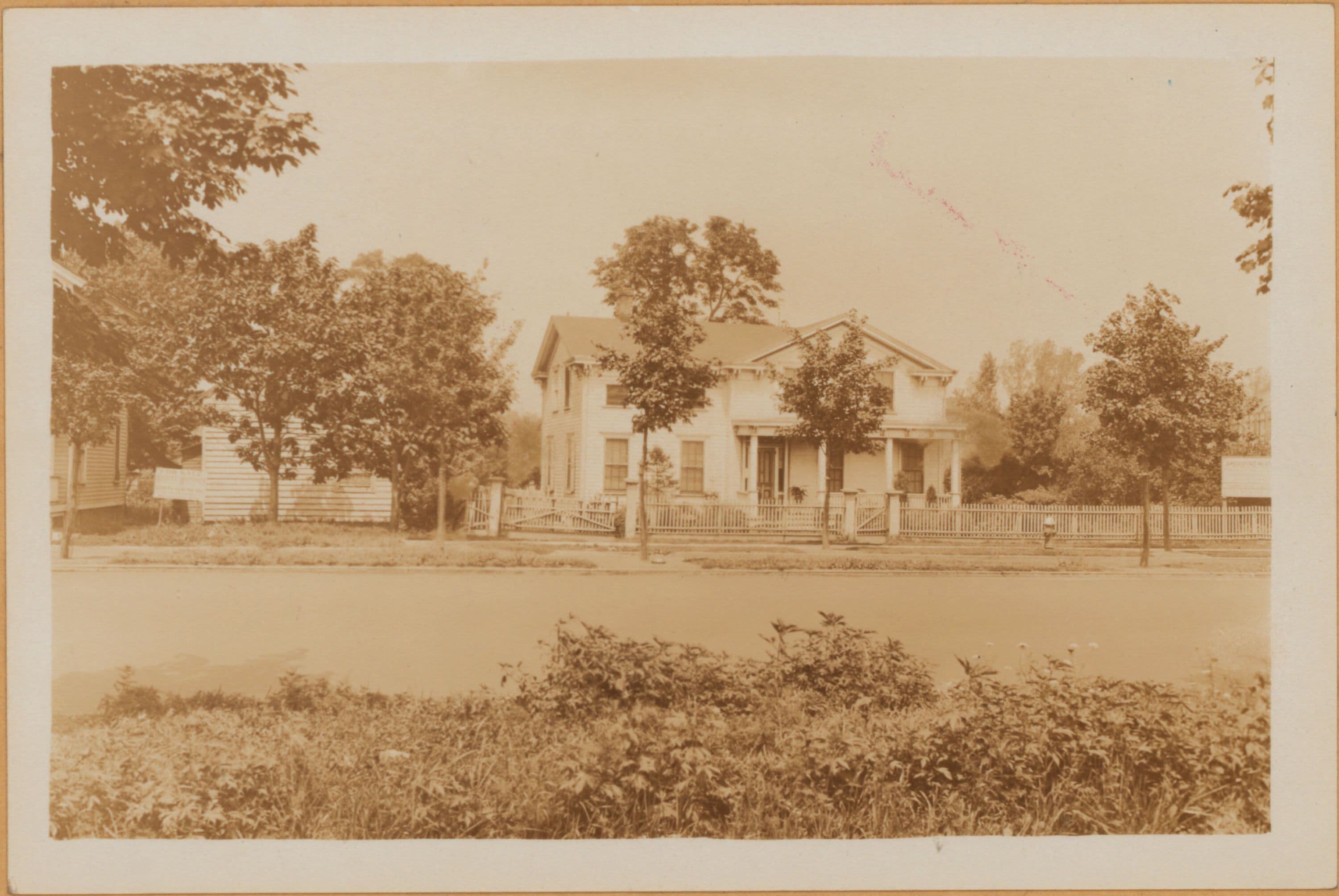
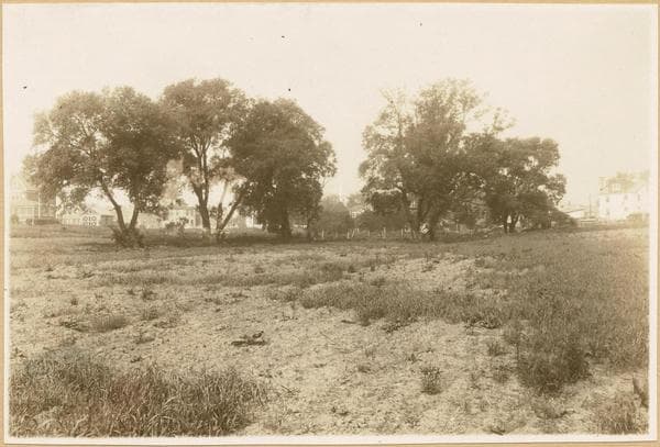
Brooklyn: Kings Highway - Avenue K

1931

Brooklyn: Kings Highway - Avenue K

(1) 4143-4149 Kings Eighway, east side, south of the intersection of Ave. K. and Kings Highway. A view of the Amersfort Nursery. August 7, 1931. P. L. Sperr. (2) The same, from a different angle. August 7, 1931. P. L. Sperr.

Photo from the New York Public Library - Milstein Collection
View this location on the map →View on NYPL Digital Collections (opens in a new tab) →

More photos from this spot

  • Brooklyn: Troy Ave. - Kings Hwy.

    1922

  • Brooklyn: Kings Highway - Troy Avenue

    1931; 1940

  • Brooklyn: Kings Highway - Troy Avenue

    1922; 1925; 1928

  • Brooklyn: Kings Highway - Avenue K

    1931

  • Brooklyn: Kings Highway - Troy Avenue

    1931; 1940

  • Brooklyn: Kings Highway - Avenue K

    1922

  • Brooklyn: Kings Highway - Avenue K

    1925; 1926

  • Brooklyn: Kings Highway - Avenue K

    1922

  • Brooklyn: Kings Highway - Troy Avenue

    1922; 1925; 1928

  • Brooklyn: Kings Highway - Troy Avenue

    1931; 1940

  • Brooklyn: Kings Highway - Troy Avenue

    1922; 1925; 1928

  • Brooklyn: Kings Highway - Avenue K

    1925; 1926

About and contactPrivacyPhotos: The New York Public Library, Milstein Collection