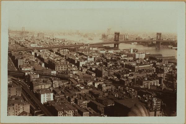
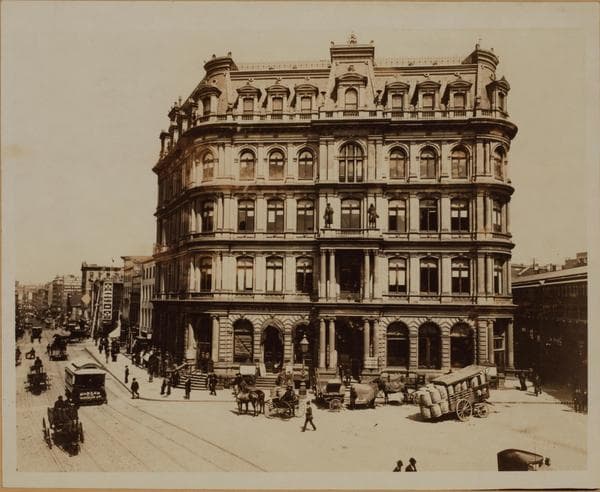
![General view - Centre Street - Northeast. [Manhattan: Park Row - Centre Street ; Municipal Building.], 1931–1932](/_next/image?url=https%3A%2F%2Fimages.vestigesofnewyork.com%2Fhigh-res%2Fbab60bf0-cc97-4a19-91b8-a7798bc598d8.jpg&w=3840&q=75)
1931; 1932
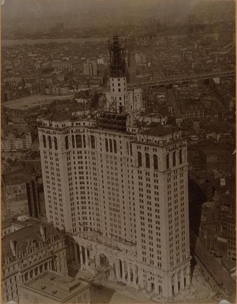
General view - Centre Street - Northeast. [Manhattan: Park Row - Centre Street ; Municipal Building.]
(1) A general view, northeast from the Municipal Building, at the intersection of Park Row and Centre Street, showing the Empire State Building, (34th St and Fifth Ave), in the distance at the left, and the Queensboro Bridge, (extending from East 59th St Manhattan to Long Island City), at the right. May 3, 1932. P. L. Sperr. (2) The same, another view. May 3, 1932. P. L. Sperr. (3) The same, from a different angle, not showing the Empire State Building, at an earlier date. June 12, 1931. P. L. Sperr.
Photo from the New York Public Library - Milstein Collection
![General view - Centre Street - Northeast. [Manhattan: Park Row - Centre Street ; Municipal Building.], 1931–1932](/_next/image?url=https%3A%2F%2Fimages.vestigesofnewyork.com%2F600px%2F11f66fe6-b928-4ae3-b8fa-e60c76575f19.jpg&w=3840&q=75)
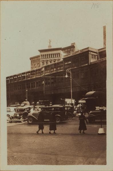
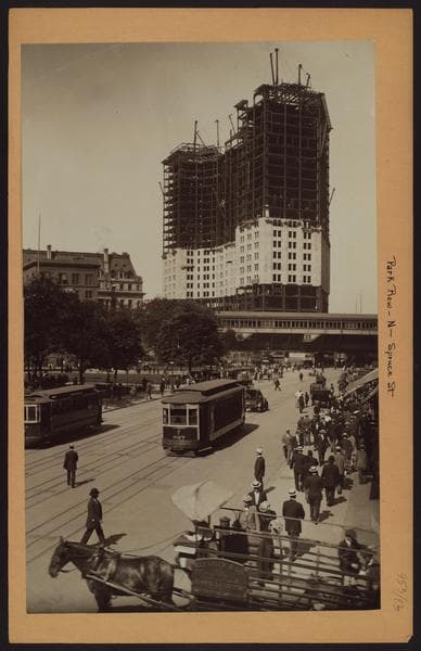
![General view - Centre Street - South. [Manhattan: Park Row - Centre Street ; Municipal Building ; Bank of Manhattan ; City Bank-Farmers Trust Company ; 60 Wall Street Tower ; New York Telephone Company.], 1931–1933](/_next/image?url=https%3A%2F%2Fimages.vestigesofnewyork.com%2F600px%2F28576720-79cb-441b-a1e6-4097aed21610.jpg&w=3840&q=75)
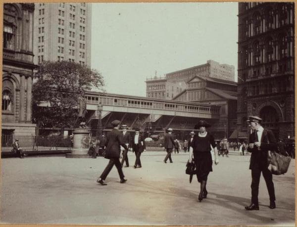
![General view - Centre Street - Northeast. [Manhattan: Park Row - Centre Street ; Municipal Building.], 1931–1932](/_next/image?url=https%3A%2F%2Fimages.vestigesofnewyork.com%2F600px%2F2d839afd-3068-411c-b610-d3bdf20e4c6b.jpg&w=3840&q=75)