VVestiges of New York49,000+ historical photos
MapBrowseAboutGet the iPhone app (opens the App Store)
  1. Browse /
  2. Manhattan /
  3. This place

Riverside Drive & 163rd Street, Manhattan

19 historical photos taken here between 1931 and 1941, oldest first.

See this spot on the map

Photos

  • Manhattan: Riverside Drive - 163rd Street, 1931

    Manhattan: Riverside Drive - 163rd Street
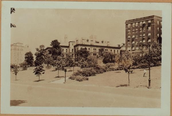
    1931

  • Manhattan: Riverside Drive - 163rd Street, 1931

    Manhattan: Riverside Drive - 163rd Street

    1931

  • Manhattan: Riverside Drive - 163rd Street, 1931

    Manhattan: Riverside Drive - 163rd Street
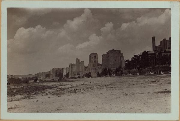
    1931

  • Manhattan: Riverside Drive - 163rd Street, 1931

    Manhattan: Riverside Drive - 163rd Street

    1931

  • Manhattan: Riverside Drive - 163rd Street, 1931

    Manhattan: Riverside Drive - 163rd Street
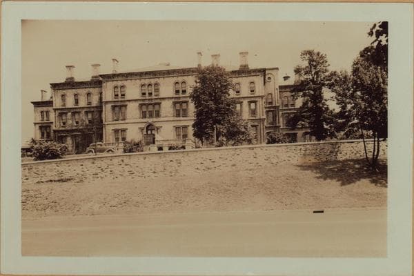
    1931

  • Manhattan: Riverside Drive - 163rd Street, 1937

    Manhattan: Riverside Drive - 163rd Street
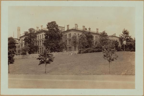
    1937

  • Manhattan: Riverside Drive - 163rd Street, 1937

    Manhattan: Riverside Drive - 163rd Street
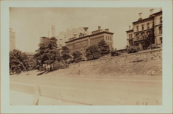
    1937

  • Manhattan: Riverside Drive - 163rd Street, 1937

    Manhattan: Riverside Drive - 163rd Street

    1937

  • Manhattan: Riverside Drive - 163rd Street, 1939

    Manhattan: Riverside Drive - 163rd Street
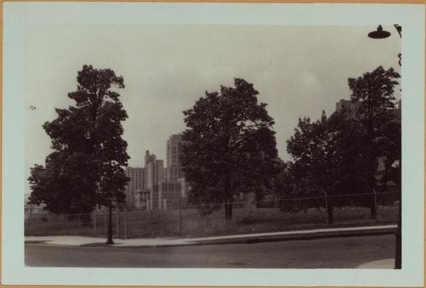
    1939

  • Manhattan: Riverside Drive - 163rd Street, 1939–1940

    Manhattan: Riverside Drive - 163rd Street

    1939; 1940
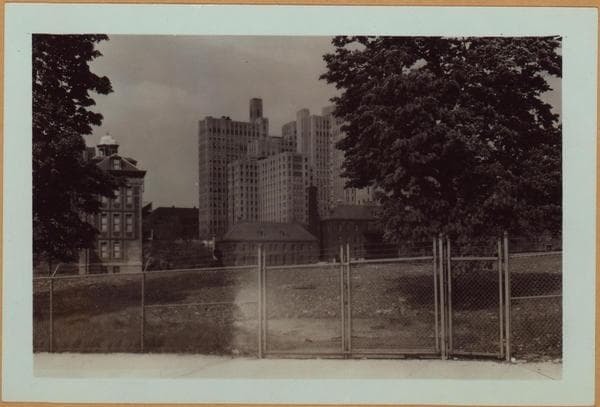
  • Manhattan: Riverside Drive - 163rd Street, 1939–1940

    Manhattan: Riverside Drive - 163rd Street

    1939; 1940
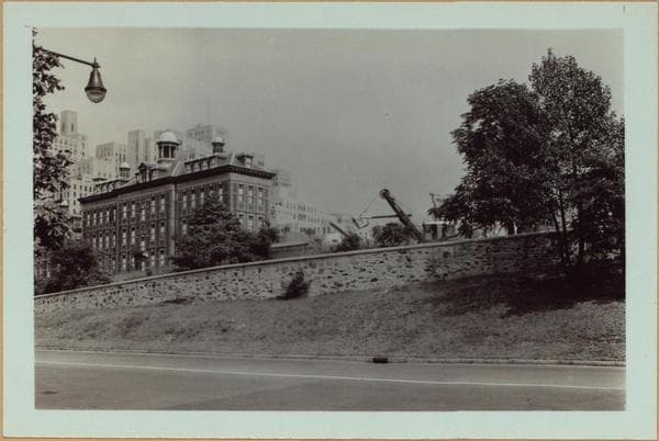
  • Manhattan: Riverside Drive - 163rd Street, 1939

    Manhattan: Riverside Drive - 163rd Street
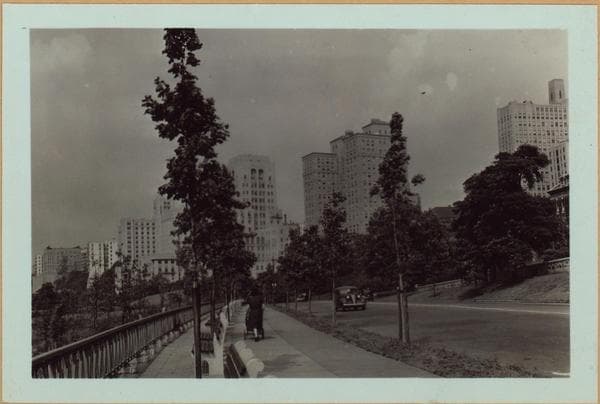
    1939

  • Manhattan: Riverside Drive - 163rd Street, 1939

    Manhattan: Riverside Drive - 163rd Street

    1939

  • Manhattan: Riverside Drive - 163rd Street, 1939–1940

    Manhattan: Riverside Drive - 163rd Street

    1939; 1940
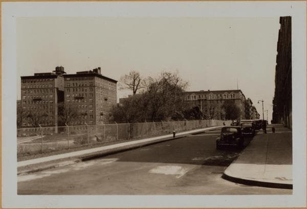
  • Manhattan: 163rd Street (West) - Riverside Drive, 1940–1941

    Manhattan: 163rd Street (West) - Riverside Drive

    1940; 1941
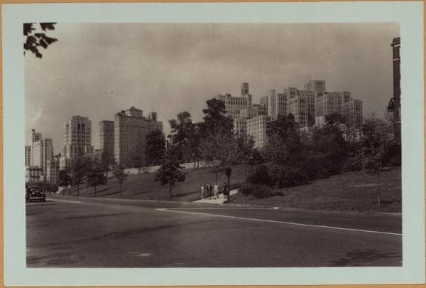
  • Manhattan: Riverside Drive - 163rd Street, 1940

    Manhattan: Riverside Drive - 163rd Street
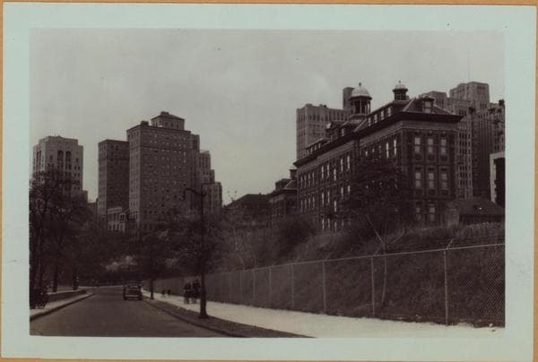
    1940

  • Manhattan: Riverside Drive - 163rd Street, 1940

    Manhattan: Riverside Drive - 163rd Street
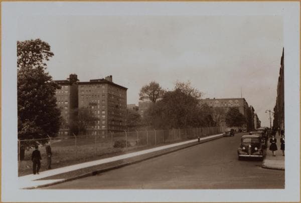
    1940

  • Manhattan: 163rd Street (West) - Riverside Drive, 1940–1941

    Manhattan: 163rd Street (West) - Riverside Drive

    1940; 1941
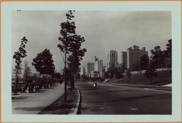
  • Manhattan: Riverside Drive - 163rd Street, 1940

    Manhattan: Riverside Drive - 163rd Street

    1940

Stand where these photos were taken

The free OldNYC app for iPhone centers the map on you and shows the historical photos taken closest to where you are.
Download on the App Store (opens the App Store)
QR code that opens OldNYC on the App Store

Or scan with your iPhone

Nearby places

  • Riverside Drive & 164th Street, Manhattan (10 photos)
  • Fort Washington Avenue & West 163rd Street, Manhattan (16 photos)
  • Riverside Drive & 165th Street, Manhattan (23 photos)
  • Riverside Drive & 160th Street, Manhattan (2 photos)
  • 165th Street & Fort Washington Avenue, Manhattan (24 photos)
  • Alexander Hamilton Apartments, northeast corner Broadway…, Manhattan (3 photos)
  • Rio Apartment Hotel: 10 Fort Washington Av-W. 160th St, Manhattan (2 photos)
  • Charleston Court, southwest corner Broadway and 163d Street, Manhattan (3 photos)

Explore

  • Map
  • Browse by place
  • Browse by decade

Boroughs

  • Manhattan
  • Brooklyn
  • Queens
  • Bronx
  • Staten Island

About

  • About and contact
  • Privacy

Photos: The New York Public Library, Milstein Collection

OldNYC for iPhone

Find the historical photos taken closest to where you stand.

Download on the App Store (opens the App Store)QR code that opens OldNYC on the App Store
Manhattan: Riverside Drive - 163rd Street, 1931

Photo 4 of 19 at Riverside Drive & 163rd Street, Manhattan

Manhattan: Riverside Drive - 163rd Street

1931

Riverside Drive (thorough fare at the right upon which the buildings shown, front), north from a point on a line with West 163rd Street (extreme right) showing a more or less general view of the Washington Heights building outline on the westerly margin of Manhattan. Two groups of structures of importance are: the low buildings of the New York Institution for the Deaf (right, extending from West 163rd to 165th Streets) and the Columbia University - Presbyterian Hospital Medical Center which are just north of the aforementioned. View 2 of this set, being from a vantage point to the north, emphasizes the latter. The foreground area is today (1938), included officially in Fort Washington Park, that marginal garden spot under the new George Washington Bridge (in the left background). September 24, 1931. P. L. Sperr.

Photo from the New York Public Library - Milstein Collection

See this spot on the mapView on NYPL Digital Collections (opens in a new tab)

See this photo in high resolution

Zoom into the full-resolution scan in the OldNYC app for iPhone with OldNYC Supporter ($4.99). The free app also centers the map on you, so you can find the photos taken closest to where you stand.
Download on the App Store (opens the App Store)
QR code that opens OldNYC on the App Store

Or scan with your iPhone