1930
Richmond: Arthur Kill Road - Chemical Lane
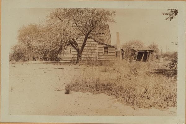
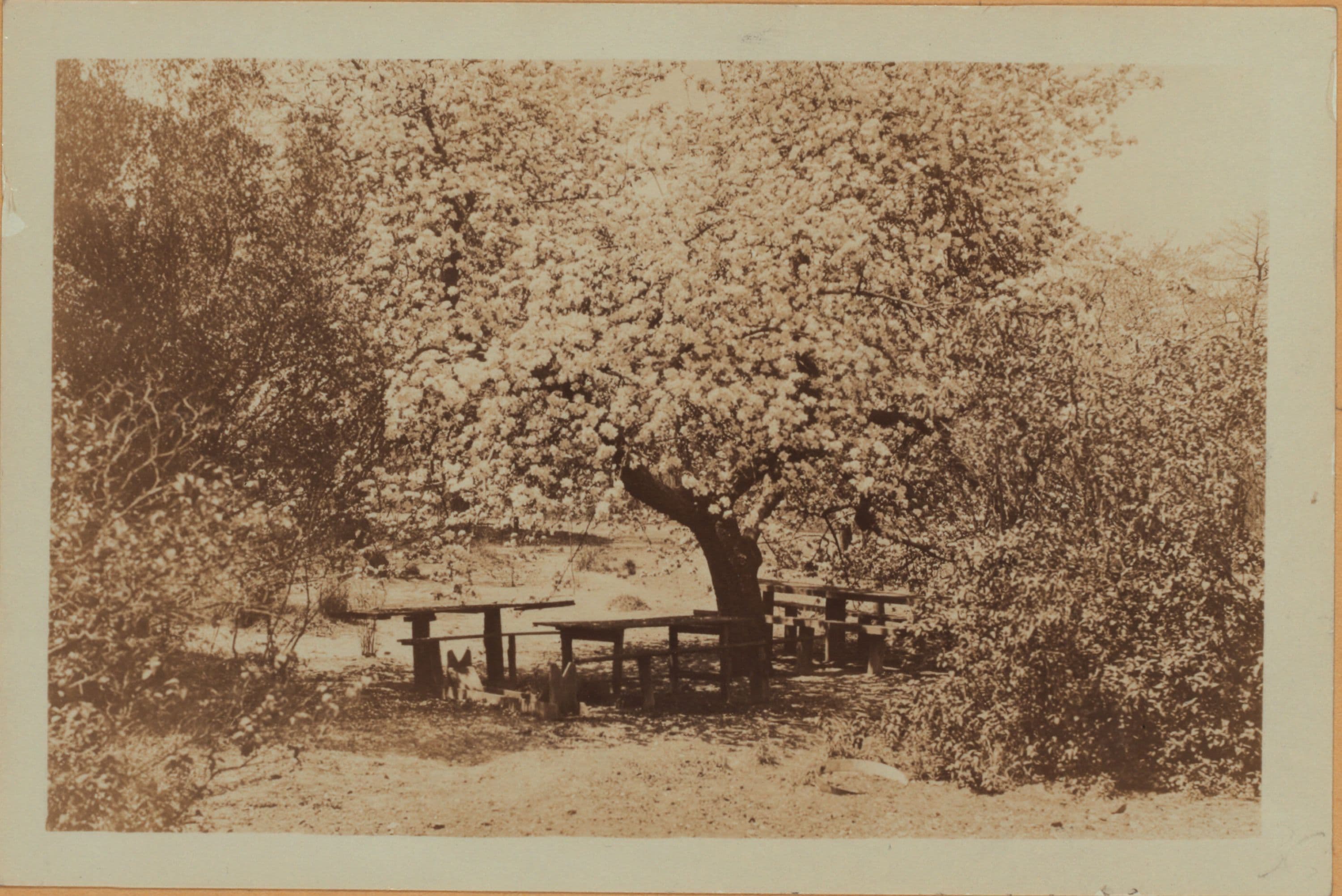
2920 Arthur Kill Road, south side, west of Chemical Lane, showing the Shore Road Inn. May 5, 1930 Views 1,2 P. L. Sperr
Photo from the New York Public Library - Milstein Collection
1930
2920 Arthur Kill Road, south side, west of Chemical Lane, showing the Shore Road Inn. May 5, 1930 Views 1,2 P. L. Sperr
Photo from the New York Public Library - Milstein Collection