VVestiges of New York49,000+ historical photos
MapBrowseAbout
  1. Browse /
  2. 1930s /
  3. This photo
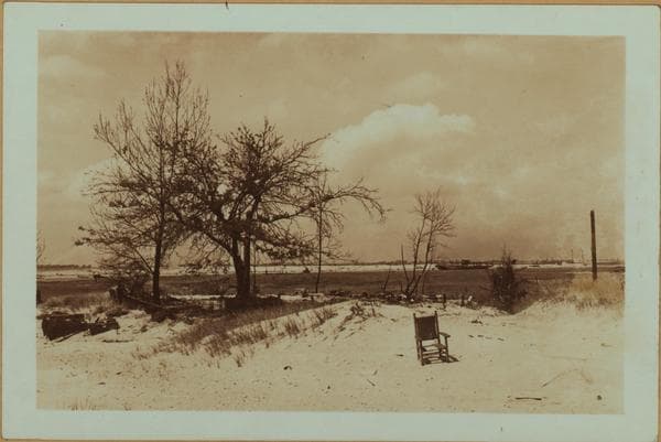
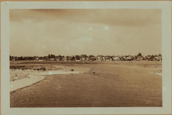
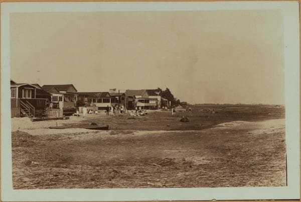
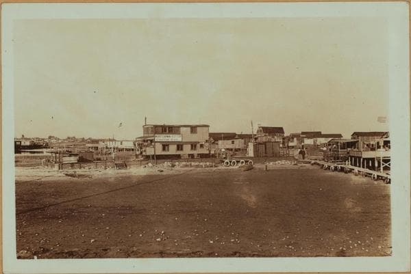
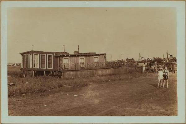
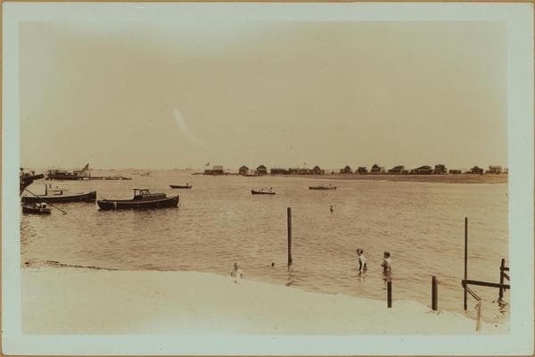
Islands - Plumb Island - [Plumb Beach Channel in Brooklyn.]

1935

Islands - Plumb Island - [Plumb Beach Channel in Brooklyn.]

(1) Plumb Island, north side, near center of Island. Plumb Beach Channel not seen in this view is at the left. July 4, 1935. P. L. Sperr. (2) The same area, at another angle. July 4, 1935. P. L. Sperr.

Photo from the New York Public Library - Milstein Collection

View this location on the map →View on NYPL Digital Collections (opens in a new tab) →

More photos from this spot

  • Islands - Plumb Island (East) - Rockaway Inlet - [Tidewater Valley in Brooklyn.]

    1937

  • Islands - Plumb Island (Northeastern end) - Brooklyn.

    1935

  • Islands - Plumb Island - Brooklyn - [Administrative buildings of Floyd Bennett Field.]

    1937

  • Islands - Plumb Island (North end) - Gerritsen beach - Brooklyn.

    1937

  • Islands - Plumb Island - 3rd Street - Voorhies Avenue - Brooklyn.

    1937

  • Islands - Plumb Island - Brooklyn.

    1935

  • Islands - Plumb Island - East Knapp Street - Brooklyn.

    1935

  • Islands - Plumb Island (Northeastern end) - Brooklyn.

    1935

  • Islands - Plumb Island - 2nd Street - Voorhies Avenue - Brooklyn.

    1935

  • Plumb Beach Channel - Brooklyn - Gerritsen Beach.

    1935

  • Islands - Plumb Island - Brooklyn.

    1935

  • Islands - Plumb Island (North) - Gerritsen Inlet - Brooklyn.

    1935; 1937

About and contactPrivacyPhotos: The New York Public Library, Milstein Collection