VVestiges of New York49,000+ historical photos
MapBrowseAbout
  1. Browse /
  2. 1930s /
  3. This photo
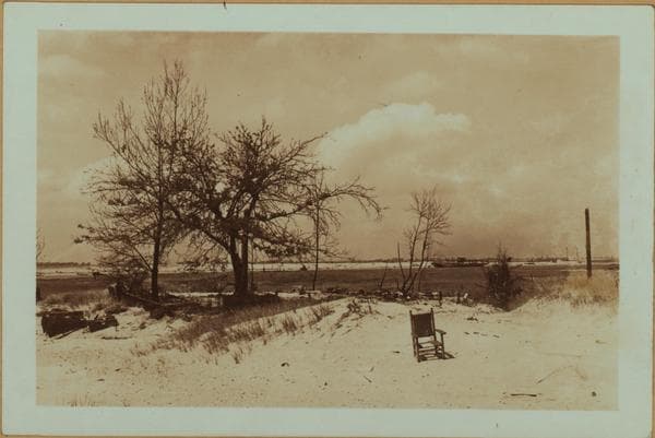
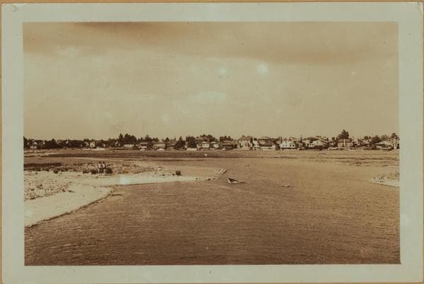
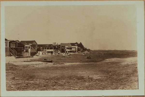
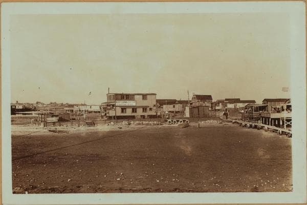
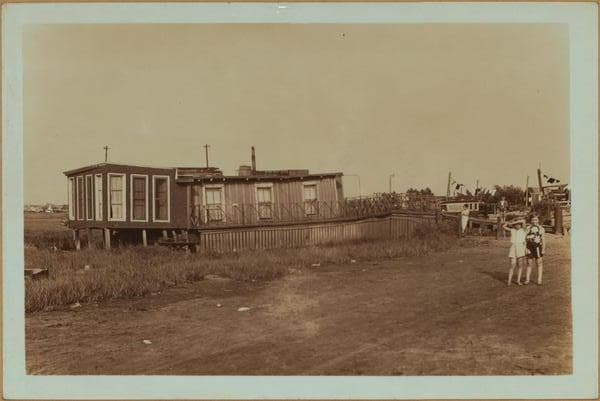
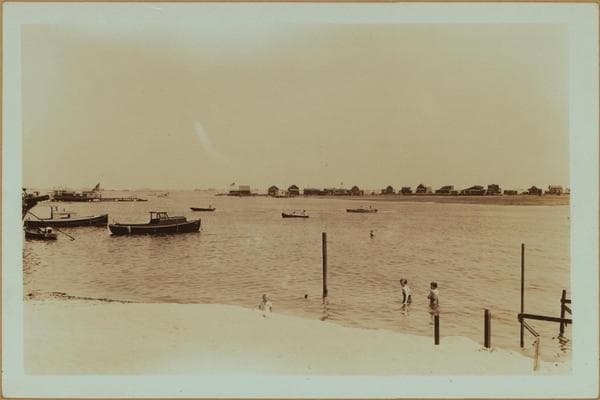
Islands - Plumb Island (Easterly end) - Brooklyn.

1935

Islands - Plumb Island (Easterly end) - Brooklyn.

Plumb Island, easterly end. A set of two views. July 4, 1935. P. L. Sperr.

Photo from the New York Public Library - Milstein Collection

View this location on the map →View on NYPL Digital Collections (opens in a new tab) →

More photos from this spot

  • Islands - Plumb Island (East) - Rockaway Inlet - [Tidewater Valley in Brooklyn.]

    1937

  • Islands - Plumb Island (Northeastern end) - Brooklyn.

    1935

  • Islands - Plumb Island - Brooklyn - [Administrative buildings of Floyd Bennett Field.]

    1937

  • Islands - Plumb Island (North end) - Gerritsen beach - Brooklyn.

    1937

  • Islands - Plumb Island - 3rd Street - Voorhies Avenue - Brooklyn.

    1937

  • Islands - Plumb Island - Brooklyn.

    1935

  • Islands - Plumb Island - East Knapp Street - Brooklyn.

    1935

  • Islands - Plumb Island (Northeastern end) - Brooklyn.

    1935

  • Islands - Plumb Island - 2nd Street - Voorhies Avenue - Brooklyn.

    1935

  • Plumb Beach Channel - Brooklyn - Gerritsen Beach.

    1935

  • Islands - Plumb Island - Brooklyn.

    1935

  • Islands - Plumb Island (North) - Gerritsen Inlet - Brooklyn.

    1935; 1937

About and contactPrivacyPhotos: The New York Public Library, Milstein Collection