1932; 1933
Manhattan: South Street - Coenties Slip
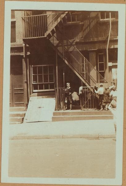
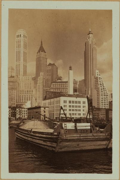
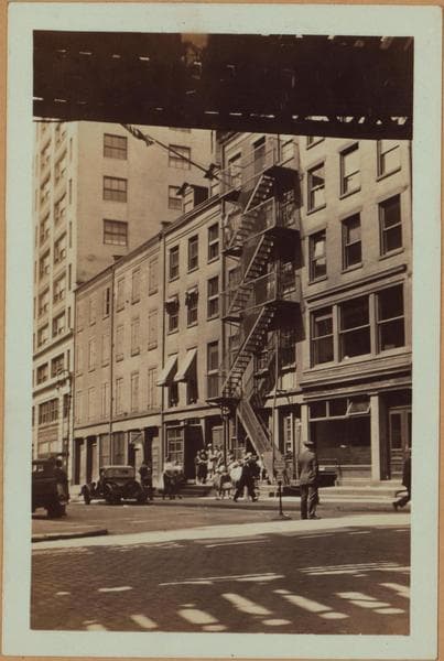
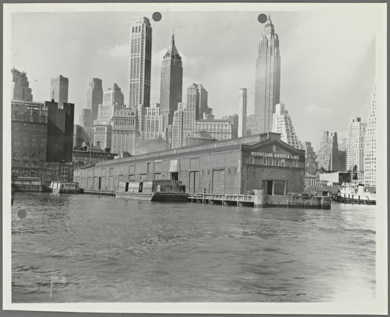
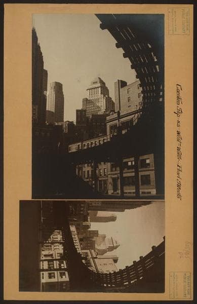
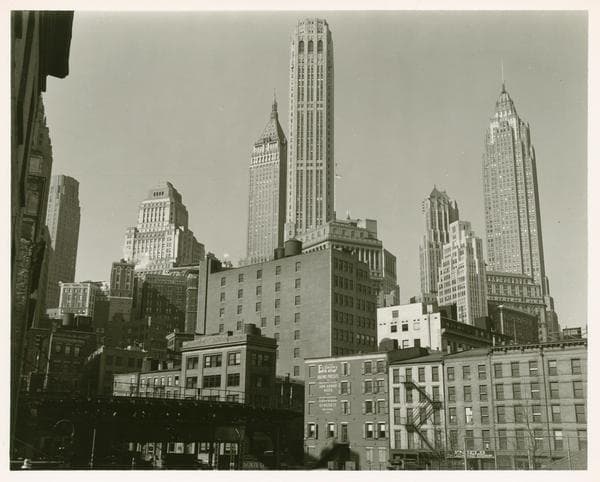
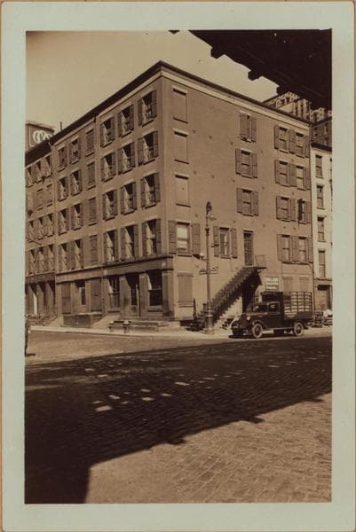
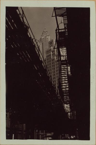
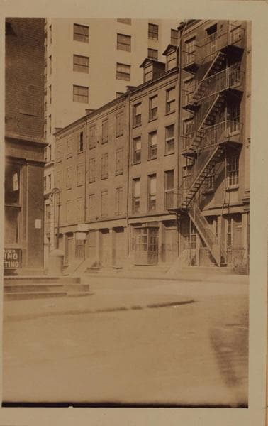
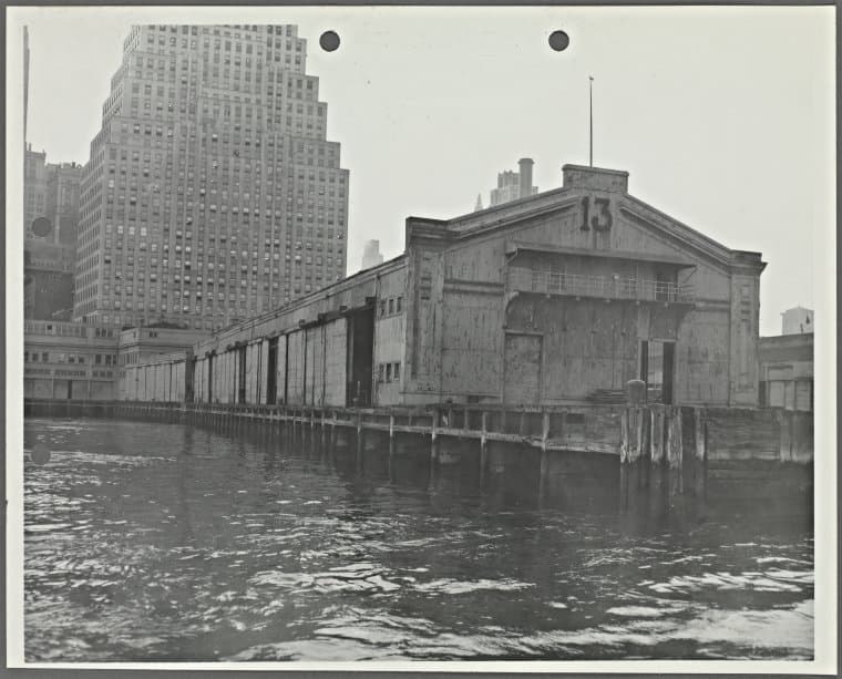
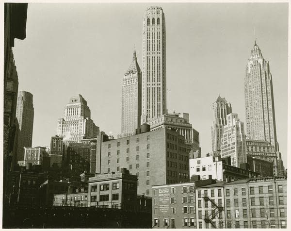
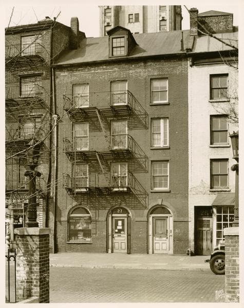
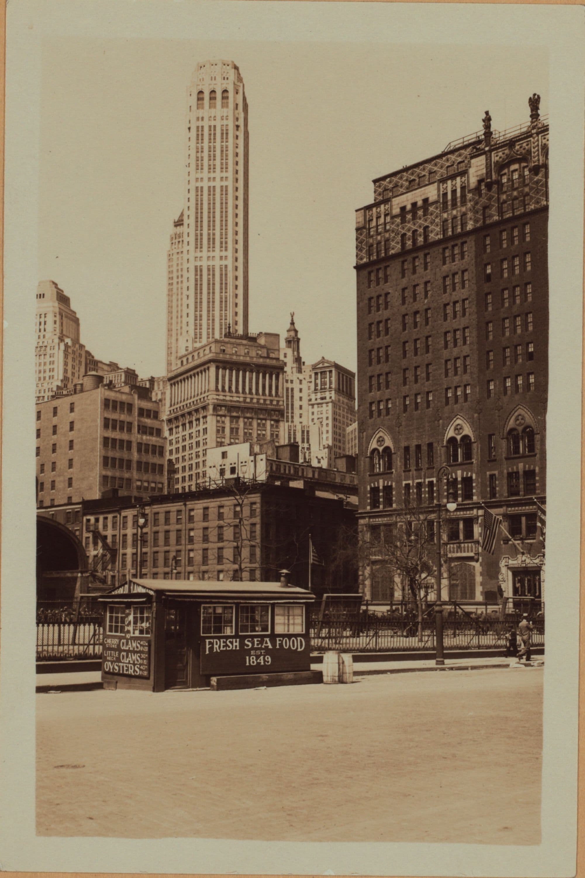
(1) South Street, west side, at Coenties Slip, showing Jeanette Park. Coenties Slip runs westward from South Street, on both sides of Jeanette Park and converges at Pearl Street, to form an isosceles triangle with South Street, as its base. Also shown, are some of the skyscrapers dominating the financial sector of lower Manhattan. January 11, 1932. P. L. Sperr. (2) A portion of the same, showing a closer view of the north side of Conties Slip, with the Seamen's Church Institute (extreme right), at the N.E. corner of Front Street. Also shown, is the Farmer's Loan and Trust Co. Building (background), and a "diner" of sea food, in the foreground. April 24, 1932. P. L. Sperr. (3) A portion of the same, showing the south side of Coenties Slip, west from, but not including South, to, but not including Front Streets. June 12, 1933. P. L. Sperr.
Photo from the New York Public Library - Milstein Collection