1929; 1938
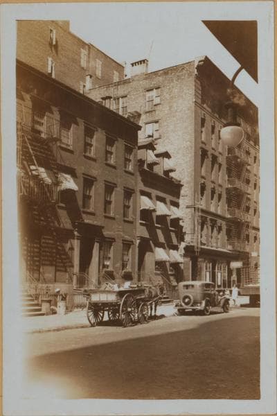
Manhattan: St. Lukes Place - Hudson Street
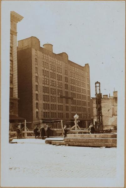
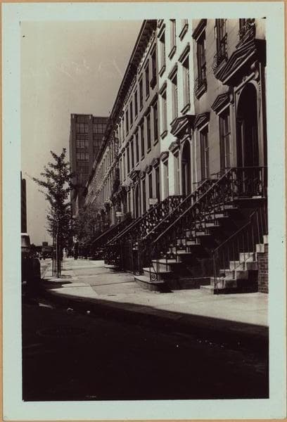
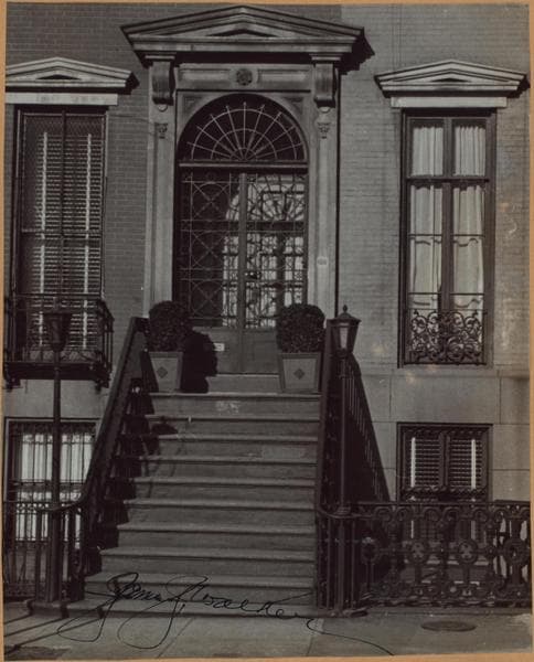
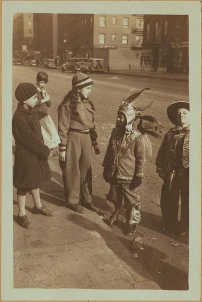
2, 3 to 13 St. Luke's Place, north side, adjoining and east of Hudson Street, seen from Hudson Park on the south side. St. Luke's Place is the eastern extension of Leroy Street cut through the Trinity Church Cemetery in the 1840's. That part of the Trinity Church Farm on the east side of Hudson Street, from Clarkson to Morton Street, was earliest aside for a cemetery. After Leroy Street was cut through, the southern half continued to serve as a cemetery until the 1890's, when the bodies were moved up to the cemetery on upper Broadway, and the old cemetery converted into a park, called St. John's Park (not to be confused with St. John's park on lower Varick Street), later Hudson Park, and opened to the public in 1898. The northern half was promptly built up, and a little later named St. Luke's Place, with its own set of house numbers, which replaced the old numbers 99-61 Leroy Street. Nos. 1-2 are the side of 420 Hudson Street, the corner building. No. 16, at the time of this picture, the residence of Mayor James J. Walker. March 9, 1929. P. L. Sperr. 2-St. Luke's Place, north side, in foreground, entrance to No. 16. P. L. Sperr 3-St. Luke's Place, north side, from Hudson Street, looking westward. P. L. Sperr. September 24, 1938 315g LOCAL HISTORY AND GENEALOGY
Photo from the New York Public Library - Milstein Collection