VVestiges of New York49,000+ historical photos
MapBrowseAbout
  1. Browse /
  2. 1930s /
  3. This photo
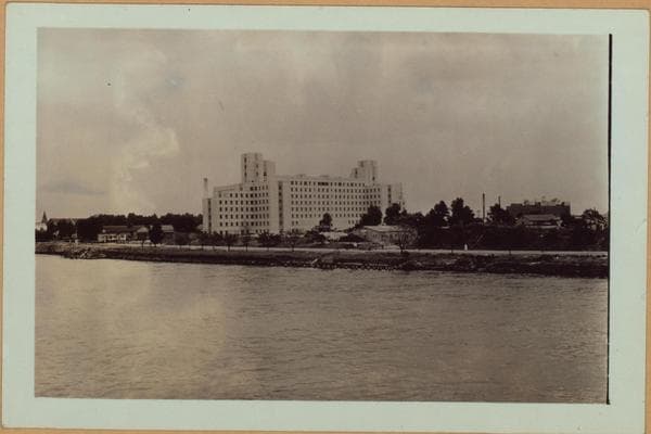
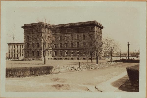
Manhattan: Welfare Island.

1937

Manhattan: Welfare Island.

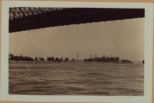
Welfare Island: A view southward on the East River (west channel) showing the northern half of same. Manhattan is 'on the right and connects with Long Island City via the Queensborough Bridge. View No. 2, of this set is slightly southward. July 10, 1937. P. L. Sperr.

Photo from the New York Public Library - Milstein Collection

View this location on the map →View on NYPL Digital Collections (opens in a new tab) →

More photos from this spot

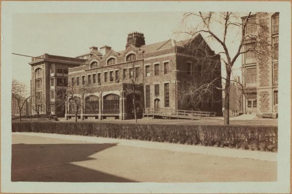
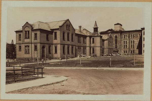
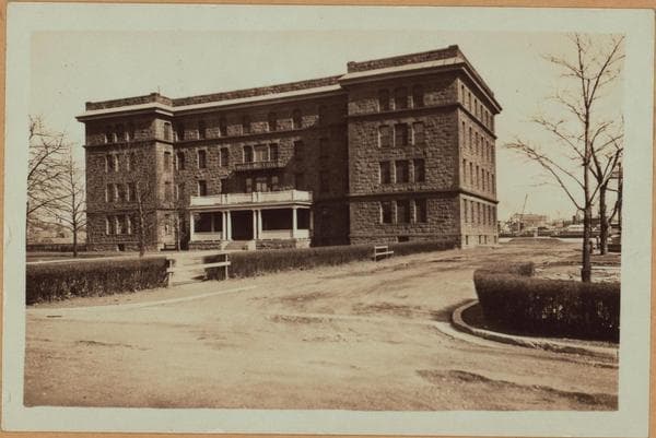
  • Manhattan: Welfare Island.

    1937

  • Manhattan: Welfare Island - New York County Penitentiary - Cell blocks.

    1929

  • Manhattan: Welfare Island - Penitentiary.

    1933; 1936

  • Islands - Welfare Island - City Hospital (rear view).

    1933

  • Islands - Welfare Island - City Hospital (rear view).

    1933

  • Manhattan: Welfare Island - Metropolitan Hospital.

    1933

  • Manhattan: Welfare Island - Metropolitan Hospital.

    1933

  • Manhattan: Welfare Island - Metropolitan Hospital.

    1933

  • Islands - Welfare Island - City Hospital Nurses Home.

    1933

  • Manhattan: Welfare Island -- Metropolitan Hospital.

    1933

  • Manhattan: Welfare Island.

    1933; 1937

  • Manhattan: Welfare Island - Metropolitan Hospital.

    1933

About and contactPrivacyPhotos: The New York Public Library, Milstein Collection