VVestiges of New York49,000+ historical photos
MapBrowseAbout
  1. Browse /
  2. 1930s /
  3. This photo
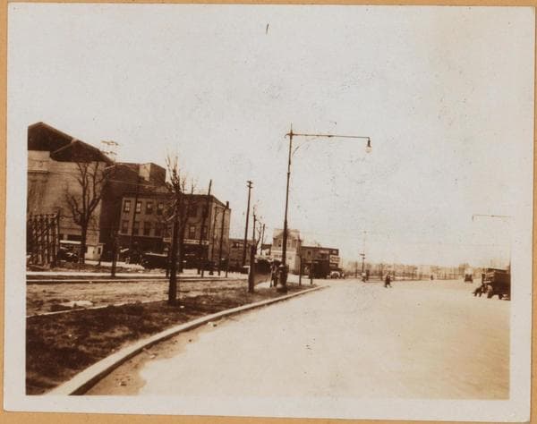
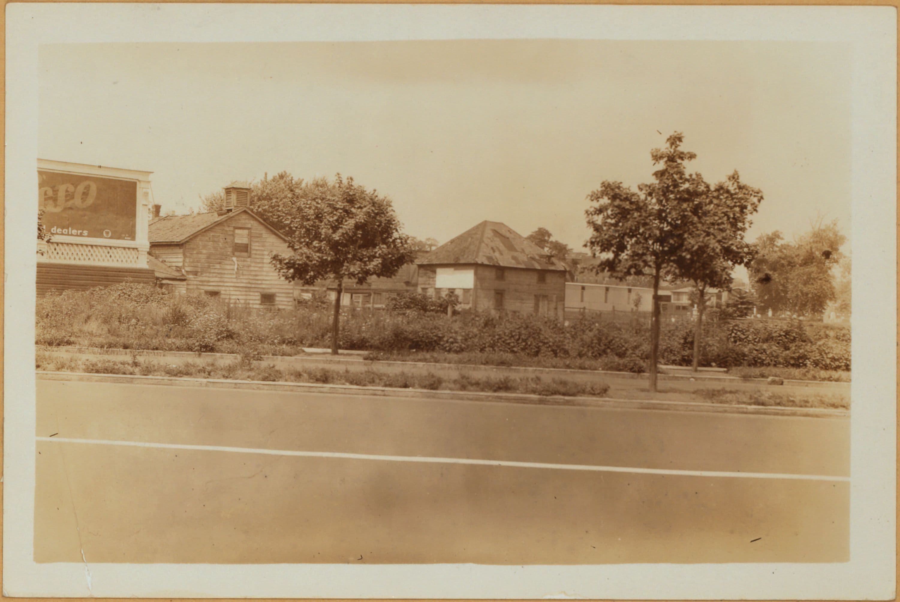
Brooklyn: Kings Highway - Flatbush Avenue

1931

Brooklyn: Kings Highway - Flatbush Avenue

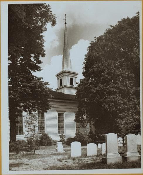
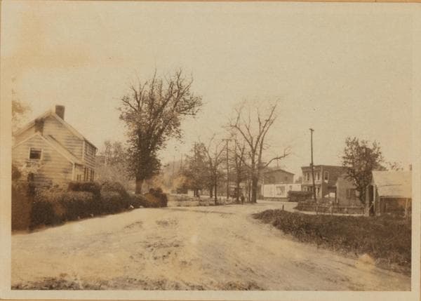
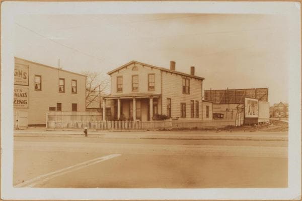
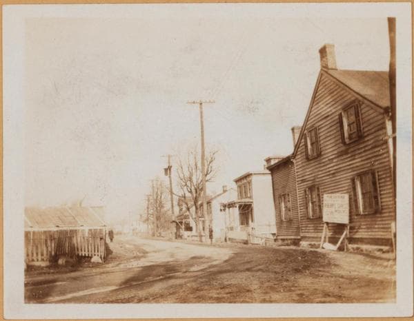
King's Highway, north side, between Flatbush Ave., and East 40th Street. In the background, is seen the Flatland Dutch Reform Cemetery. The old houses are landmarks of old farms, slowly disappearing in this section. August 7, 1931. P. L. Sperr.

Photo from the New York Public Library - Milstein Collection

View this location on the map →View on NYPL Digital Collections (opens in a new tab) →

More photos from this spot

  • Brooklyn: Flatbush Avenue - Kings Highway

    1922

  • Brooklyn: Kings Highway - Flatbush Avenue

    Unknown

  • Brooklyn: Mill Lane - Kings Highway

    1923

  • Brooklyn: Flatbush Avenue - Kings Highway

    1931

  • Brooklyn: Kings Highway - Flatbush Avenue

    1925

  • Brooklyn: Kings Highway - Flatbush Avenue

    1926

  • Brooklyn: Flatbush Avenue - Kings Highway

    1922

  • Brooklyn: Flatbush Avenue - Kings Highway

    1923

  • Brooklyn: Flatbush Avenue - Kings Highway

    1923; 1925; 1928

  • Brooklyn: Flatbush Avenue - Kings Highway

    1922; 1923; 1925

  • Brooklyn: Kings Highway - Flatbush Avenue

    1925

  • Brooklyn: Kings Highway - Flatbush Avenue

    Unknown

About and contactPrivacyPhotos: The New York Public Library, Milstein Collection