VVestiges of New York49,000+ historical photos
MapBrowseAboutGet the iPhone app (opens the App Store)
  1. Browse /
  2. Manhattan /
  3. This place

2nd Ave & 16th St. E, Manhattan

14 historical photos taken here between 1923 and 1949, oldest first.

See this spot on the map

Photos

  • Manhattan: Stuyvesant Square Park - [Between 15th and 17th Streets (East).], 1923

    Manhattan: Stuyvesant Square Park - [Between 15th and 17th Streets (East).]
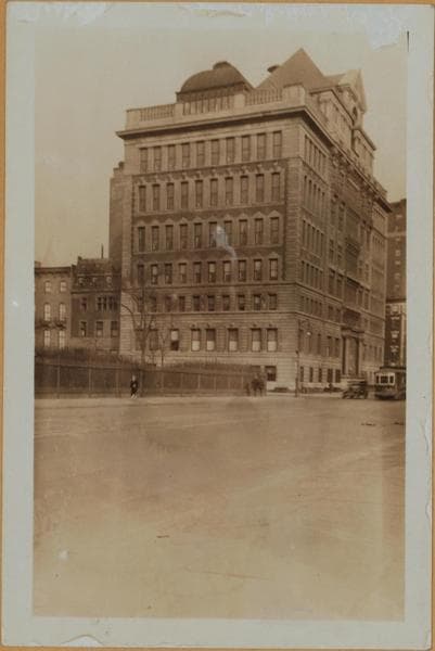
    1923

  • Manhattan: 2nd Ave. - 16th St. E., 1929

    Manhattan: 2nd Ave. - 16th St. E.

    1929

  • Manhattan: 2nd Ave. - 16th St. E., 1929

    Manhattan: 2nd Ave. - 16th St. E.

    1929

  • Manhattan: 2nd Ave. - 16th St. E., 1929

    Manhattan: 2nd Ave. - 16th St. E.

    1929

  • Manhattan: Stuyvesant Square Park - [Between 15th and 17th Streets (East).], 1935

    Manhattan: Stuyvesant Square Park - [Between 15th and 17th Streets (East).]
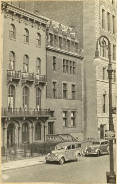
    1935

  • Manhattan: Stuyvesant Square Park - [Between 15th and 17th Streets (East).], 1935

    Manhattan: Stuyvesant Square Park - [Between 15th and 17th Streets (East).]

    1935

  • Manhattan: 17th Street (East) - 2nd Avenue, 1937

    Manhattan: 17th Street (East) - 2nd Avenue
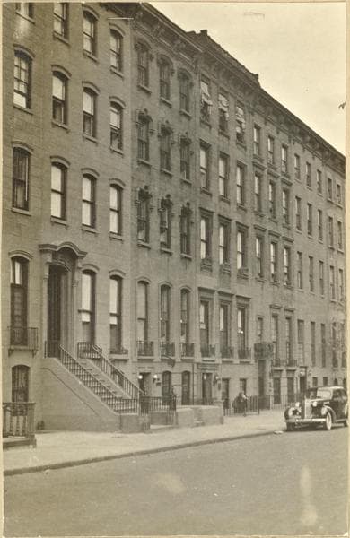
    1937

  • Manhattan: 17th Street (East) - 2nd Avenue, 1937

    Manhattan: 17th Street (East) - 2nd Avenue
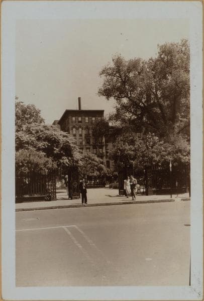
    1937

  • Manhattan: 2nd Ave. - 16th St., 1939

    Manhattan: 2nd Ave. - 16th St.

    1939

  • Manhattan: 2nd Ave. - 16th St., 1939

    Manhattan: 2nd Ave. - 16th St.

    1939

  • Manhattan: 17th Street (West) - 2nd Avenue, 1939

    Manhattan: 17th Street (West) - 2nd Avenue
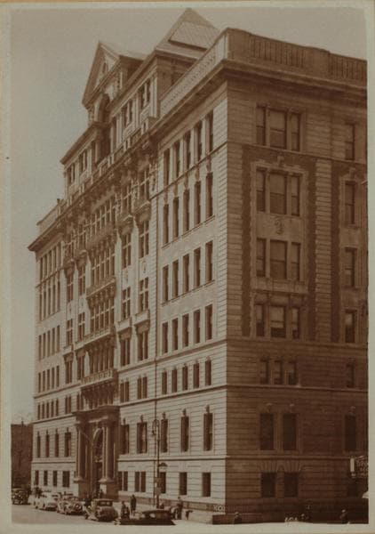
    1939

  • Manhattan: 2nd Ave. - 17th St. E., 1940

    Manhattan: 2nd Ave. - 17th St. E.

    1940

  • Second Avenue - 17th Street - E18th Street, 1946

    Second Avenue - 17th Street - E18th Street
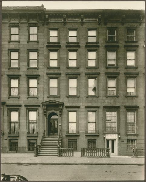
    1946

  • 315 East 17th Street (First Avenue - Second Avenue), 1949-10

    315 East 17th Street (First Avenue - Second Avenue)

    1949-10

Stand where these photos were taken

The free OldNYC app for iPhone centers the map on you and shows the historical photos taken closest to where you are.
Download on the App Store (opens the App Store)
QR code that opens OldNYC on the App Store

Or scan with your iPhone

Nearby places

  • East 16th Street & Rutherford Place, Manhattan (5 photos)
  • Stuyvesant Square Park, Manhattan (5 photos)
  • 18th Street & 2nd Avenue, Manhattan (5 photos)
  • Livingston Place & East 16th Street, Manhattan (2 photos)
  • East 15th Street & Rutherford Place, Manhattan (10 photos)
  • 3rd Avenue, Manhattan (13 photos)
  • East 18th Street & 3rd Avenue, Manhattan (16 photos)
  • 14th Street & 2nd Avenue, Manhattan (4 photos)

Explore

  • Map
  • Browse by place
  • Browse by decade

Boroughs

  • Manhattan
  • Brooklyn
  • Queens
  • Bronx
  • Staten Island

About

  • About and contact
  • Privacy

Photos: The New York Public Library, Milstein Collection

OldNYC for iPhone

Find the historical photos taken closest to where you stand.

Download on the App Store (opens the App Store)QR code that opens OldNYC on the App Store
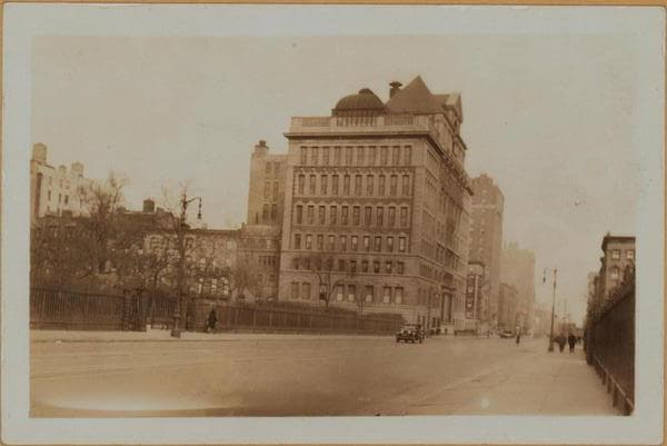
Manhattan: 2nd Ave. - 16th St. E., 1929

Photo 4 of 14 at 2nd Ave & 16th St. E, Manhattan

Manhattan: 2nd Ave. - 16th St. E.

1929

Second Avenue, west side, north from E. 16th Street, showing prominently the former Lying In Hospital occupying the frontage between 17th and 18th Streets. This structure, erected about 1900, stands on a site that included the Hamilton Fish residence. In September of 1932, this organization will lose its identity on entering the new medical center of the N. Y. Hospital and Cornell Medical College on York Ave. In 1935 the Manhattan General Hospital will take over this building. Views 2 and 3 are limited to the hospital building. Note the surface car and tracks. This line will be discontinued in 1933 and replaced by bus service. P. L. Sperr View 1 - Neg.# 4887 View 2 - Neg.# 793 View 3 - Neg.# 794 December 22, 1929 Views 1,2,3

Photo from the New York Public Library - Milstein Collection

See this spot on the mapView on NYPL Digital Collections (opens in a new tab)

See this photo in high resolution

Zoom into the full-resolution scan in the OldNYC app for iPhone with OldNYC Supporter ($4.99). The free app also centers the map on you, so you can find the photos taken closest to where you stand.
Download on the App Store (opens the App Store)
QR code that opens OldNYC on the App Store

Or scan with your iPhone