VVestiges of New York49,000+ historical photos
MapBrowseAboutGet the iPhone app (opens the App Store)
  1. Browse /
  2. Manhattan /
  3. This place

West 134th Street & Lenox Avenue, Manhattan

8 historical photos taken here between 1920 and 1936, oldest first.

See this spot on the map

Photos

  • Manhattan: Lenox Avenue - 134th Street, 1920

    Manhattan: Lenox Avenue - 134th Street
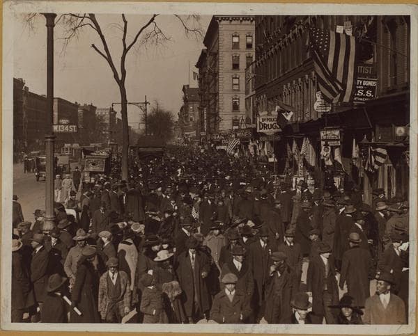
    1920

  • Manhattan: Lenox Avenue - 134th Street, 1921

    Manhattan: Lenox Avenue - 134th Street
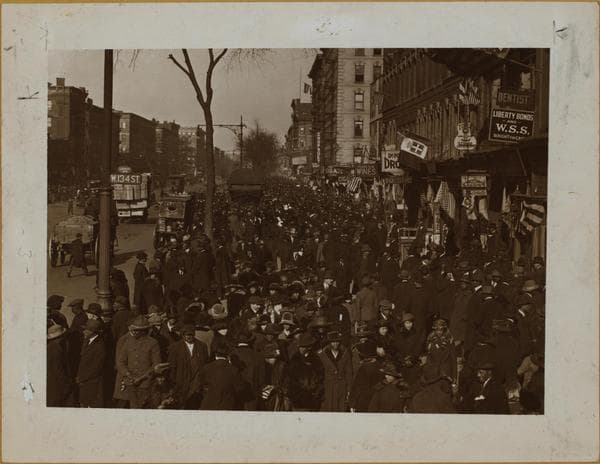
    1921

  • Manhattan: Lenox Avenue - 134th Street, 1921

    Manhattan: Lenox Avenue - 134th Street
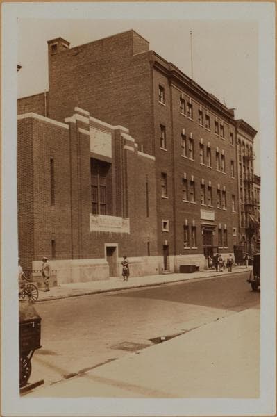
    1921

  • Manhattan: 134th Street (West) - Lenox Avenue, 1932

    Manhattan: 134th Street (West) - Lenox Avenue

    1932

  • Manhattan: 134th Street (West) - Lenox Avenue, 1936

    Manhattan: 134th Street (West) - Lenox Avenue
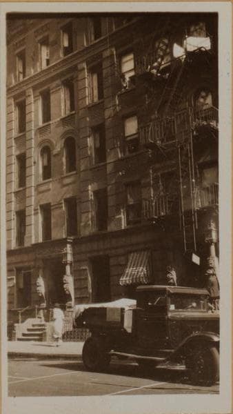
    1936

  • Manhattan: 134th Street (West) - Lenox Avenue, 1936

    Manhattan: 134th Street (West) - Lenox Avenue

    1936

  • Manhattan: 134th Street (West) - Lenox Avenue, 1936

    Manhattan: 134th Street (West) - Lenox Avenue
    1936

  • Manhattan: 134th Street (West) - Lenox Avenue, 1936

    Manhattan: 134th Street (West) - Lenox Avenue

    1936

Stand where these photos were taken

The free OldNYC app for iPhone centers the map on you and shows the historical photos taken closest to where you are.
Download on the App Store (opens the App Store)
QR code that opens OldNYC on the App Store

Or scan with your iPhone

Nearby places

  • 133rd Street & Lenox Avenue, Manhattan (3 photos)
  • 135th Street & Lenox Avenue, Manhattan (3 photos)
  • West 132nd Street & Lenox Avenue, Manhattan (9 photos)
  • Lenox Avenue & 131st Street, Manhattan (3 photos)
  • West 137th Street & Lenox Avenue, Manhattan (8 photos)
  • Lenox Avenue & West 130th Street, Manhattan (8 photos)
  • West 133rd Street & 5th Avenue, Manhattan (4 photos)
  • West 135th Street & 7th Avenue, Manhattan (11 photos)

Explore

  • Map
  • Browse by place
  • Browse by decade

Boroughs

  • Manhattan
  • Brooklyn
  • Queens
  • Bronx
  • Staten Island

About

  • About and contact
  • Privacy

Photos: The New York Public Library, Milstein Collection

OldNYC for iPhone

Find the historical photos taken closest to where you stand.

Download on the App Store (opens the App Store)QR code that opens OldNYC on the App Store
Manhattan: 134th Street (West) - Lenox Avenue, 1936

Photo 8 of 8 at West 134th Street & Lenox Avenue, Manhattan

Manhattan: 134th Street (West) - Lenox Avenue

1936

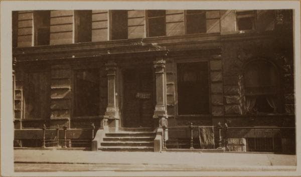
West 134th Street, west of Lenox Avenue, showing Harlem living conditions. Several of the tenements on this block have been demolished. Others are vacated and boarded up. The buildings individually shown are in this block tho nearer to Seventh Avenue. Additional items of this character are to be found in the pamphlet published by the donor; " Why Abandoned Buildings Should Be Demolished". About 1936 No's. -2-3-4 Gift of Committee on Housing Charity Organization Society

Photo from the New York Public Library - Milstein Collection

See this spot on the mapView on NYPL Digital Collections (opens in a new tab)

See this photo in high resolution

Zoom into the full-resolution scan in the OldNYC app for iPhone with OldNYC Supporter ($4.99). The free app also centers the map on you, so you can find the photos taken closest to where you stand.
Download on the App Store (opens the App Store)
QR code that opens OldNYC on the App Store

Or scan with your iPhone