13th Avenue & West 28th Street, Manhattan
13 historical photos taken here between 1920 and 1937, oldest first.
Photos
![Erie Basin - Brooklyn - [New York Bay - Between Gowanus Bay and Beard Street.], 1920](/_next/image?url=https%3A%2F%2Fimages.vestigesofnewyork.com%2F600px%2F39db0cfd-b6fd-41e1-b44b-6fa7f7bb9c80.jpg&w=1080&q=75)
Erie Basin - Brooklyn - [New York Bay - Between Gowanus Bay and Beard Street.]
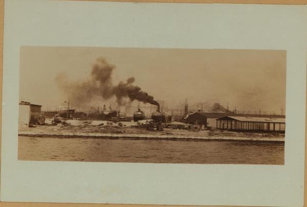
Erie Basin - Brooklyn.

Erie Basin - Brooklyn (Northeast).
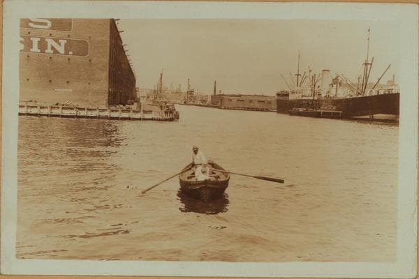
Erie Basin - Brooklyn - Van Brunt Street.
![Erie Basin - Brooklyn - Richards Street - [New York State Barge Canal Terminal.], 1931](/_next/image?url=https%3A%2F%2Fimages.vestigesofnewyork.com%2F600px%2F76ce7440-fc80-41db-b81d-f1927a6f94ee.jpg&w=1080&q=75)
Erie Basin - Brooklyn - Richards Street - [New York State Barge Canal Terminal.]
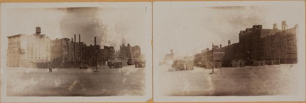
Manhattan: 13th Avenue - 28th Street (West)
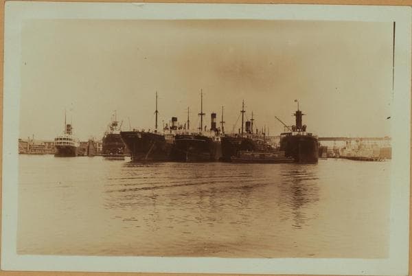
Erie Basin - Brooklyn (Northeast).
![Erie Basin - Brooklyn - Richards Street - [New York State Barge Canal Terminal.], 1931](/_next/image?url=https%3A%2F%2Fimages.vestigesofnewyork.com%2F600px%2F875e9f55-bb1b-49d0-a8d6-c9540a384cab.jpg&w=1080&q=75)
Erie Basin - Brooklyn - Richards Street - [New York State Barge Canal Terminal.]
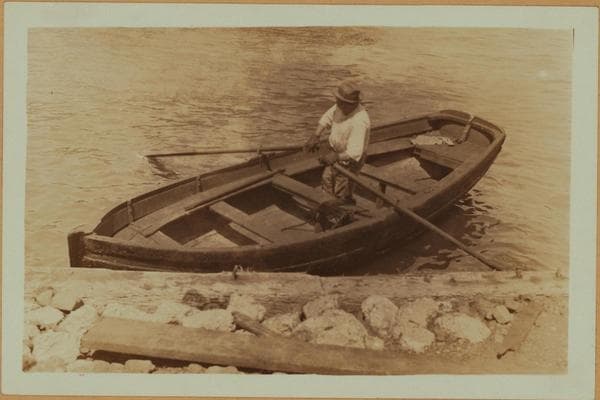
Erie Basin - Brooklyn - Van Brunt Street.
![Erie Basin - Brooklyn - Richards Street - [New York State Barge Canal Terminal.], 1931](/_next/image?url=https%3A%2F%2Fimages.vestigesofnewyork.com%2F600px%2Ffd3fc1fc-5928-4893-b966-3292a9bfb8fe.jpg&w=1080&q=75)
Erie Basin - Brooklyn - Richards Street - [New York State Barge Canal Terminal.]
![Erie Basin - Brooklyn - Between Columbia Street and Upper Bay - [W. S. Webb and Son lumber yard.], 1937](/_next/image?url=https%3A%2F%2Fimages.vestigesofnewyork.com%2F600px%2F11bb9369-32b4-4fc2-84d0-64fff5f73879.jpg&w=1080&q=75)
Erie Basin - Brooklyn - Between Columbia Street and Upper Bay - [W. S. Webb and Son lumber yard.]
![Erie Basin - Brooklyn - Between Columbia Street and Upper Bay - [W. S. Webb and Son lumber yard.], 1937](/_next/image?url=https%3A%2F%2Fimages.vestigesofnewyork.com%2F600px%2F34a8aaec-9d3a-49a4-b3fd-212891a5f7ce.jpg&w=1080&q=75)
Erie Basin - Brooklyn - Between Columbia Street and Upper Bay - [W. S. Webb and Son lumber yard.]
![Erie Basin - Brooklyn - Between Columbia Street and Upper Bay - [W. S. Webb and Son lumber yard.], 1937](/_next/image?url=https%3A%2F%2Fimages.vestigesofnewyork.com%2F600px%2F6e0ad340-de5e-47ae-9ce1-8158f9b88514.jpg&w=1080&q=75)
Erie Basin - Brooklyn - Between Columbia Street and Upper Bay - [W. S. Webb and Son lumber yard.]