VVestiges of New York49,000+ historical photos
MapBrowseAboutGet the iPhone app (opens the App Store)
  1. Browse /
  2. Manhattan /
  3. This place

Broadway & 67th Street, Manhattan

18 historical photos taken here between 1914 and 1940, oldest first.

See this spot on the map

Photos

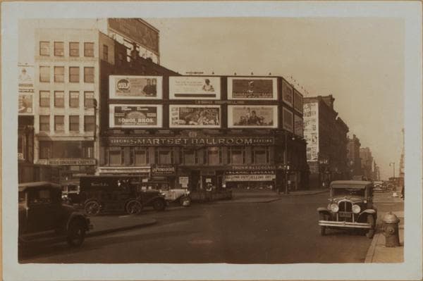
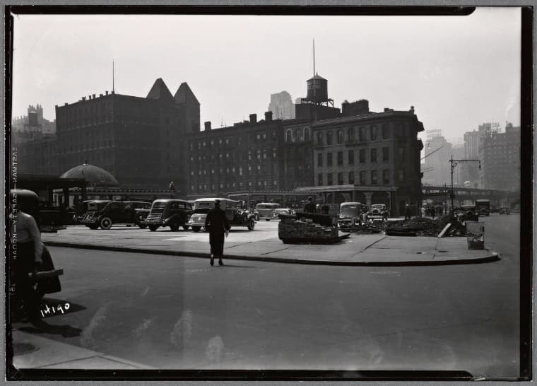
  • Manhattan: Broadway - 68th Street (West), 1914–1929

    Manhattan: Broadway - 68th Street (West)

    1914; 1929
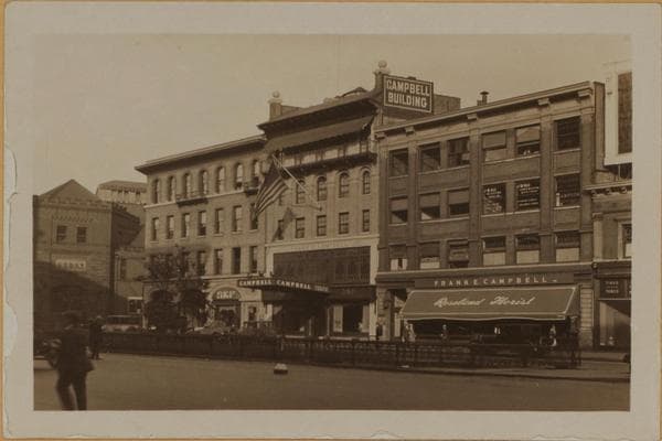
  • Manhattan: Broadway - 67th Street (West), 1927–1938

    Manhattan: Broadway - 67th Street (West)

    1927; 1938
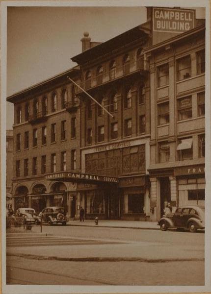
  • Manhattan: Broadway - 67th Street (West), 1927–1938

    Manhattan: Broadway - 67th Street (West)

    1927; 1938
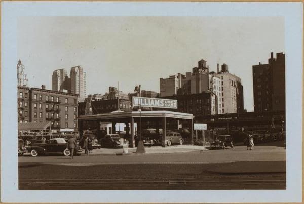
  • Manhattan: Broadway - 67th Street, 1927–1940

    Manhattan: Broadway - 67th Street

    1927; 1940
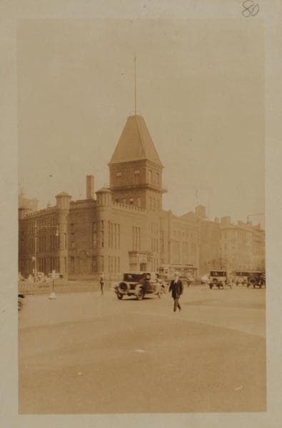
  • Manhattan: Broadway - 67th Street, 1927–1940

    Manhattan: Broadway - 67th Street

    1927; 1940
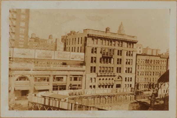
  • Manhattan: 68th Street (West) - Broadway, 1929–1931

    Manhattan: 68th Street (West) - Broadway

    1929; 1931

  • Manhattan: 68th Street (West) - Broadway, 1929–1931

    Manhattan: 68th Street (West) - Broadway

    1929; 1931
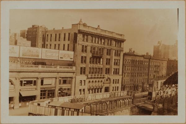
  • Manhattan: 68th Street (West) - Broadway, 1929–1931

    Manhattan: 68th Street (West) - Broadway

    1929; 1931
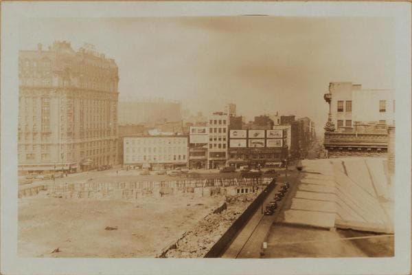
  • Manhattan: Broadway - 67th Street, 1931

    Manhattan: Broadway - 67th Street
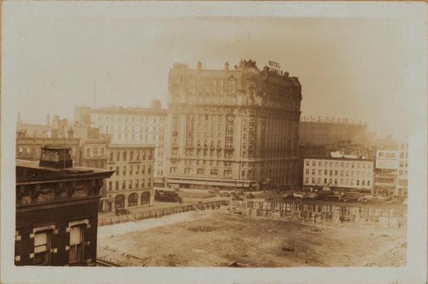
    1931

  • Manhattan: Broadway - 67th Street, 1931

    Manhattan: Broadway - 67th Street

    1931

  • Manhattan: Broadway - 68th Street, 1931

    Manhattan: Broadway - 68th Street

    1931

  • Manhattan: Broadway - 67th Street, 1931

    Manhattan: Broadway - 67th Street

    1931

  • Manhattan: Broadway - 67th Street, 1931

    Manhattan: Broadway - 67th Street

    1931

  • Manhattan: Broadway - 68th Street, 1931

    Manhattan: Broadway - 68th Street

    1931

  • Street view: Broadway-W. 68th St., Manhattan, 1935

    Street view: Broadway-W. 68th St., Manhattan

    1935

  • Manhattan: Broadway - 68th Street (West), 1937–1940

    Manhattan: Broadway - 68th Street (West)

    1937; 1940

  • Manhattan: Broadway - 68th Street (West), 1937–1940

    Manhattan: Broadway - 68th Street (West)

    1937; 1940
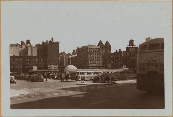
  • Manhattan: 68th Street (West) - Broadway, 1940

    Manhattan: 68th Street (West) - Broadway

    1940

Stand where these photos were taken

The free OldNYC app for iPhone centers the map on you and shows the historical photos taken closest to where you are.
Download on the App Store (opens the App Store)
QR code that opens OldNYC on the App Store

Or scan with your iPhone

Nearby places

  • West 68th Street & Columbus Avenue, Manhattan (8 photos)
  • Columbus Avenue & West 66th Street, Manhattan (21 photos)
  • Broadway & 69th Street, Manhattan (5 photos)
  • West 68th Street & Amsterdam Avenue, Manhattan (4 photos)
  • Columbus Avenue & West 67th Street, Manhattan (8 photos)
  • West 69th Street & Columbus Avenue, Manhattan (8 photos)
  • Amsterdam Avenue & West 67th Street, Manhattan (6 photos)
  • Columbus Avenue & 70th Street, Manhattan (4 photos)

Explore

  • Map
  • Browse by place
  • Browse by decade

Boroughs

  • Manhattan
  • Brooklyn
  • Queens
  • Bronx
  • Staten Island

About

  • About and contact
  • Privacy

Photos: The New York Public Library, Milstein Collection

OldNYC for iPhone

Find the historical photos taken closest to where you stand.

Download on the App Store (opens the App Store)QR code that opens OldNYC on the App Store
Manhattan: Broadway - 68th Street (West), 1937–1940

Photo 16 of 18 at Broadway & 67th Street, Manhattan

Manhattan: Broadway - 68th Street (West)

1937; 1940

(1) Broadway ,North from West 68th Street . This thoroughfare runs in a diagonal direction and intersects Amsterdam Avenue at W.72nd Street,forming Sherman Square. The ornate Ansonia appears on the latter,occupying the block,73rd to 74th Streets. Note the Nevada ,bearing advertisement sign atop, at the Southern apex of this convergence,being bounded by Broadway, Amsterdam Avenue and 69th to 70th Streets. December 19th,1937 (2) The same. This wider view shows the Chalfonte Hotel, at the extreme left,Ansonia in background and the Alamac hotel in the Right foreground,the Embassy Hotel is shown. October 9th,1940 Photographs by, P.L.Sperr,

Photo from the New York Public Library - Milstein Collection

See this spot on the mapView on NYPL Digital Collections (opens in a new tab)

See this photo in high resolution

Zoom into the full-resolution scan in the OldNYC app for iPhone with OldNYC Supporter ($4.99). The free app also centers the map on you, so you can find the photos taken closest to where you stand.
Download on the App Store (opens the App Store)
QR code that opens OldNYC on the App Store

Or scan with your iPhone