VVestiges of New York49,000+ historical photos
MapBrowseAboutGet the iPhone app (opens the App Store)
  1. Browse /
  2. Manhattan /
  3. This place

Broadway & West 165th Street, Manhattan

12 historical photos taken here between 1910 and 1945, oldest first.

See this spot on the map

Photos

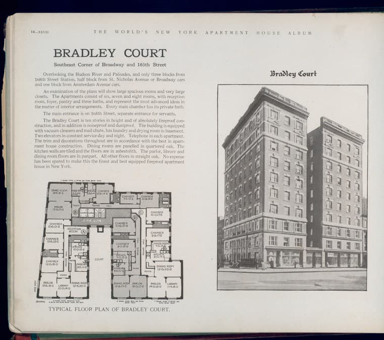
  • Bradley Court. Southeast Corner of Broadway and 165th Street., 1910-03

    Bradley Court. Southeast Corner of Broadway and 165th Street.
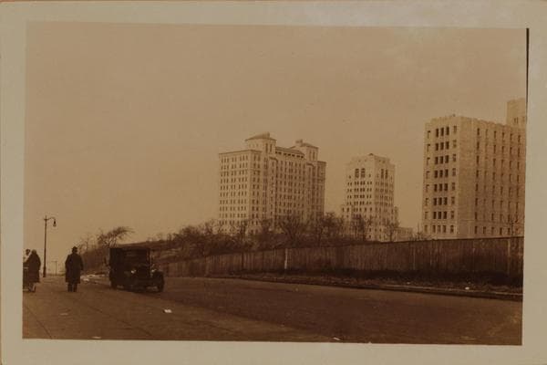
    1910-03

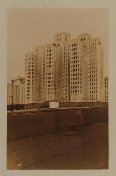
  • Manhattan: 165th Street - Broadway, 1927

    Manhattan: 165th Street - Broadway

    1927

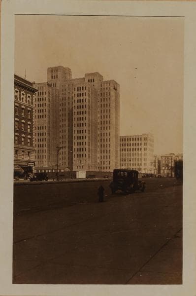
  • Manhattan: Broadway - 165th Street, 1927

    Manhattan: Broadway - 165th Street

    1927

  • Manhattan: Broadway - 165th Street, 1927

    Manhattan: Broadway - 165th Street

    1927

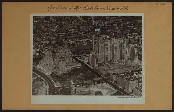
  • General view - Upper Manhattan - Washington Heights., 1929

    General view - Upper Manhattan - Washington Heights.
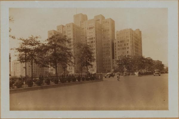
    1929

  • Manhattan: Broadway - 165th Street (West), 1937

    Manhattan: Broadway - 165th Street (West)
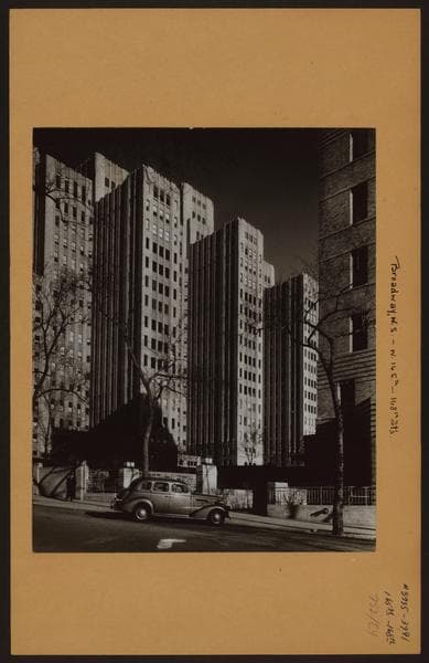
    1937

  • Manhattan: Broadway - 165th Street (West), 1938

    Manhattan: Broadway - 165th Street (West)
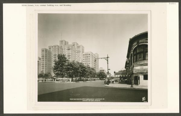
    1938

  • 165th Street (West) – Broadway, southeast corner, 1945-08-20

    165th Street (West) – Broadway, southeast corner
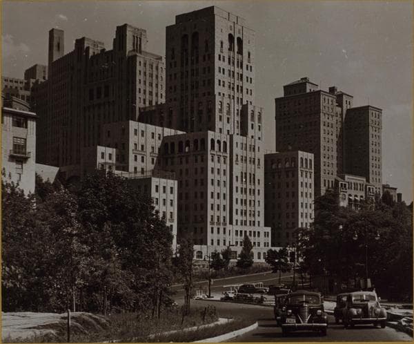
    1945-08-20

  • Manhattan: 165th Street - Broadway

    Manhattan: 165th Street - Broadway

    Unknown

  • Manhattan: Broadway - 165th Street (West)

    Manhattan: Broadway - 165th Street (West)

    Unknown
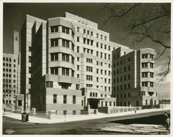
  • West 165 Street (Broadway - Fort Washington Avenue)

    West 165 Street (Broadway - Fort Washington Avenue)

    Unknown
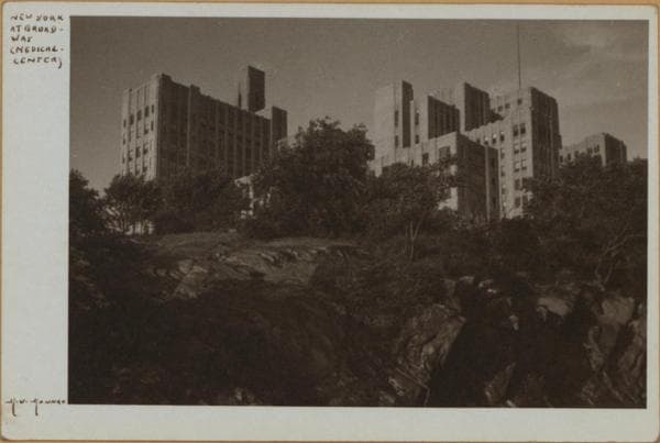
  • Manhattan: Broadway - 165th Street (West)

    Manhattan: Broadway - 165th Street (West)

    Unknown

Stand where these photos were taken

The free OldNYC app for iPhone centers the map on you and shows the historical photos taken closest to where you are.
Download on the App Store (opens the App Store)
QR code that opens OldNYC on the App Store

Or scan with your iPhone

Nearby places

  • 165th Street & St. Nicholas Avenue, Manhattan (7 photos)
  • Broadway & West 166th Street, Manhattan (3 photos)
  • St. Nicholas Avenue & West 166th Street, Manhattan (7 photos)
  • Charleston Court, southwest corner Broadway and 163d Street, Manhattan (3 photos)
  • West 164th Street & St. Nicholas Avenue, Manhattan (3 photos)
  • Audubon Avenue & 166th Street, Manhattan (3 photos)
  • 165th Street & Fort Washington Avenue, Manhattan (24 photos)
  • Audubon Avenue & West 167th Street, Manhattan (7 photos)

Explore

  • Map
  • Browse by place
  • Browse by decade

Boroughs

  • Manhattan
  • Brooklyn
  • Queens
  • Bronx
  • Staten Island

About

  • About and contact
  • Privacy

Photos: The New York Public Library, Milstein Collection

OldNYC for iPhone

Find the historical photos taken closest to where you stand.

Download on the App Store (opens the App Store)QR code that opens OldNYC on the App Store
General view - Upper Manhattan - Washington Heights., 1929

Photo 5 of 12 at Broadway & West 165th Street, Manhattan

General view - Upper Manhattan - Washington Heights.

1929

A general view of the upper Manhattan-Washington Heights section of the City, showing prominently the new Columbia Medical Center development lying between Broadway and Riverside Drive at W. 165th - 168th Street's. The main building at the right is the College of Physicians and Surgeons. This structure also houses the various dental schools and the Administrative Board. Facing the Drive is the New York State Hospital with its adjoining Presbyterian School for Nurses. Behind the latter is the Neurological Institute. Fort Washington Avenue divides the view leading to the dark 102nd Regiment Engineers Armory at 168th - 169th Street's. In the foreground is the New York Institute for the Deaf. The direction of the view is northeastward from over same. 1929 Ewing Galloway

Photo from the New York Public Library - Milstein Collection

See this spot on the mapView on NYPL Digital Collections (opens in a new tab)

See this photo in high resolution

Zoom into the full-resolution scan in the OldNYC app for iPhone with OldNYC Supporter ($4.99). The free app also centers the map on you, so you can find the photos taken closest to where you stand.
Download on the App Store (opens the App Store)
QR code that opens OldNYC on the App Store

Or scan with your iPhone