VVestiges of New York49,000+ historical photos
MapBrowseAboutGet the iPhone app (opens the App Store)
  1. Browse /
  2. Manhattan /
  3. This place

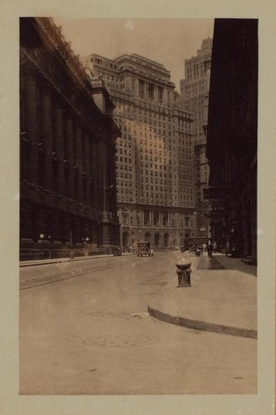
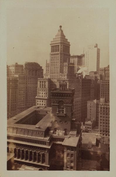
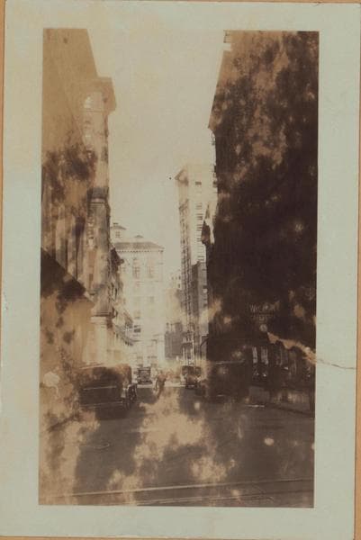
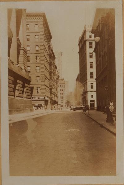
Broadway & Whitehall Street, Manhattan

21 historical photos taken here between 1869 and 1938, oldest first.

See this spot on the map

Photos

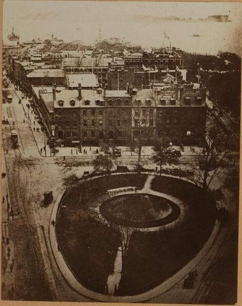
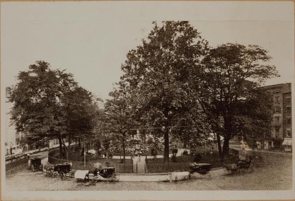
  • Manhattan: Broadway - Whitehall Street, ca. 1869

    Manhattan: Broadway - Whitehall Street

    ca. 1869
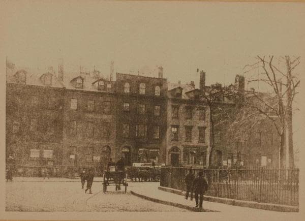
  • Manhattan: Broadway - Whitehall Street, 1869

    Manhattan: Broadway - Whitehall Street
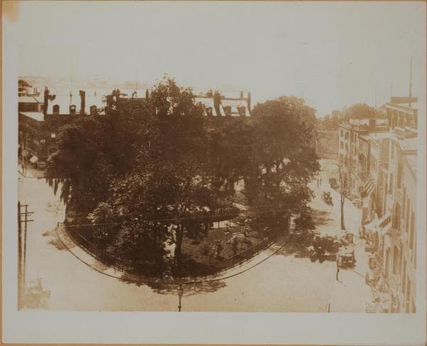
    1869

  • Manhattan: Broadway - Whitehall Street, 1870

    Manhattan: Broadway - Whitehall Street
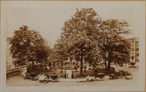
    1870

  • Manhattan: Broadway - Whitehall Street, 1874

    Manhattan: Broadway - Whitehall Street
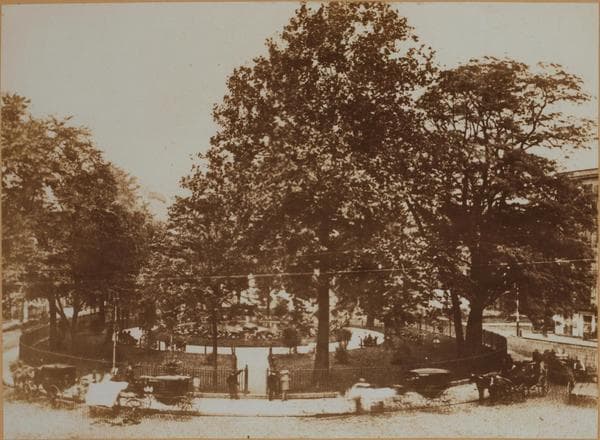
    1874

  • Manhattan: Broadway - Whitehall Street, 1874

    Manhattan: Broadway - Whitehall Street
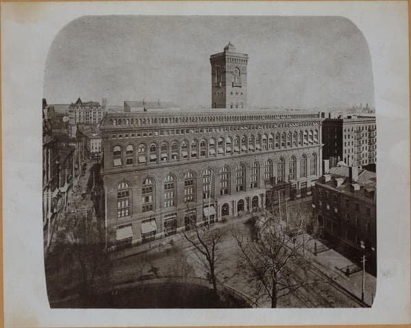
    1874

  • Manhattan: Broadway - Stone Street, 1884

    Manhattan: Broadway - Stone Street

    1884

  • Manhattan: Broadway - Whitehall Street, 1890

    Manhattan: Broadway - Whitehall Street

    1890

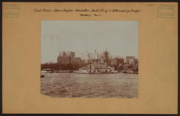
  • East River - Shore and skyline of lower Manhattan - South Ferry - Williamsburg Bridge., 1897

    East River - Shore and skyline of lower Manhattan - South Ferry - Williamsburg Bridge.

    1897

  • Manhattan: Broadway - Whitehall Street, 1900

    Manhattan: Broadway - Whitehall Street

    1900

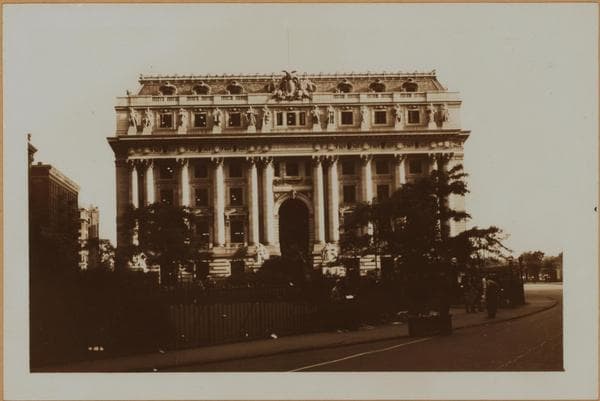
  • Manhattan: Broadway - Whitehall Street, 1924–1937

    Manhattan: Broadway - Whitehall Street

    1924; 1937

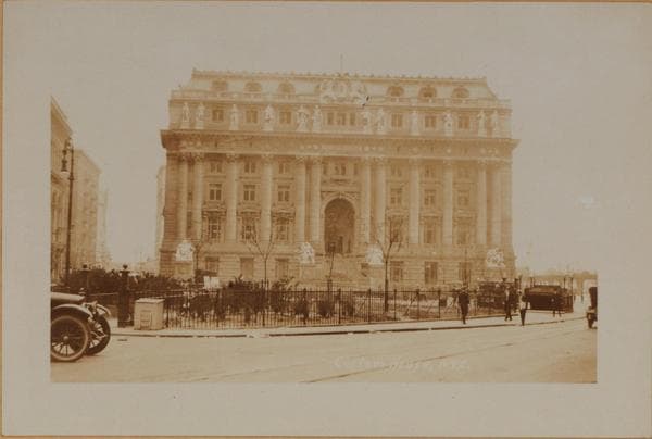
  • Manhattan: Broadway - Whitehall Street, 1924–1937

    Manhattan: Broadway - Whitehall Street

    1924; 1937

  • Manhattan: Whitehall Street - Bridge Street, 1928–1930

    Manhattan: Whitehall Street - Bridge Street

    1928; 1930

  • Manhattan: Whitehall Street - Bridge Street, 1928–1930

    Manhattan: Whitehall Street - Bridge Street

    1928; 1930

  • Manhattan: Stone Street - Broadway, 1929

    Manhattan: Stone Street - Broadway

    1929

  • Manhattan: Stone Street - Whitehall Street, 1930

    Manhattan: Stone Street - Whitehall Street

    1930

  • Manhattan: Bridge Street - Whitehall Street, 1930

    Manhattan: Bridge Street - Whitehall Street

    1930

  • Manhattan: Broadway - Whitehall Street, 1936

    Manhattan: Broadway - Whitehall Street

    1936

  • Manhattan: Whitehall Street - Bridge Street, 1936

    Manhattan: Whitehall Street - Bridge Street

    1936

  • Manhattan: Whitehall Street - Bowling Green, 1938

    Manhattan: Whitehall Street - Bowling Green

    1938

  • Manhattan: Broadway - Stone Street

    Manhattan: Broadway - Stone Street
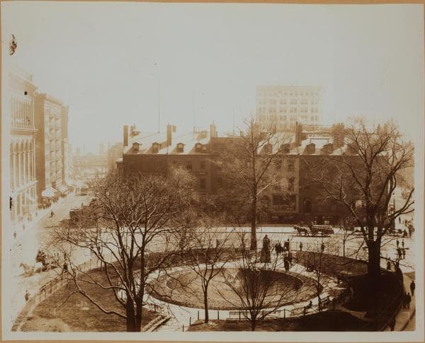
    Unknown

  • Parks - Bowling Green

    Parks - Bowling Green

    Unknown

Stand where these photos were taken

The free OldNYC app for iPhone centers the map on you and shows the historical photos taken closest to where you are.
Download on the App Store (opens the App Store)
QR code that opens OldNYC on the App Store

Or scan with your iPhone

Nearby places

  • Pearl Street & Broad Street, Manhattan (78 photos)
  • Broadway & Beaver Street, Manhattan (33 photos)
  • Broadway & Battery Place, Manhattan (73 photos)
  • Broad Street & Beaver Street, Manhattan (17 photos)
  • State Street & 3rd Avenue, Manhattan (28 photos)
  • Moore Street & Water Street, Manhattan (5 photos)
  • Battery Place & Greenwich Street, Manhattan (28 photos)
  • Strikes and demonstrations, Manhattan (10 photos)

Explore

  • Map
  • Browse by place
  • Browse by decade

Boroughs

  • Manhattan
  • Brooklyn
  • Queens
  • Bronx
  • Staten Island

About

  • About and contact
  • Privacy

Photos: The New York Public Library, Milstein Collection

OldNYC for iPhone

Find the historical photos taken closest to where you stand.

Download on the App Store (opens the App Store)QR code that opens OldNYC on the App Store
Manhattan: Broadway - Whitehall Street, 1936

Photo 17 of 21 at Broadway & Whitehall Street, Manhattan

Manhattan: Broadway - Whitehall Street
1936

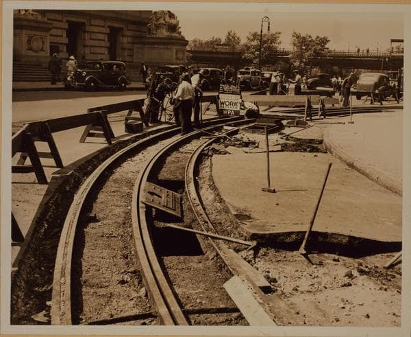
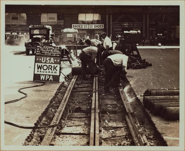
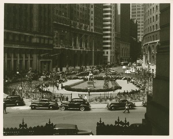
Bowling Green, west from Whitehall to State Streets, showing W.P.A. employees removing the Broadway car tracks that at this point encircle the Green. Note on the left the northwestern corner of the U.S. Custom House obscuring a portion of Battery Park with the South Ferry elevated station therein. August 25, 1936. W.P.A. Photo. Federal Art Project.

Photo from the New York Public Library - Milstein Collection

See this spot on the mapView on NYPL Digital Collections (opens in a new tab)

See this photo in high resolution

Zoom into the full-resolution scan in the OldNYC app for iPhone with OldNYC Supporter ($4.99). The free app also centers the map on you, so you can find the photos taken closest to where you stand.
Download on the App Store (opens the App Store)
QR code that opens OldNYC on the App Store

Or scan with your iPhone