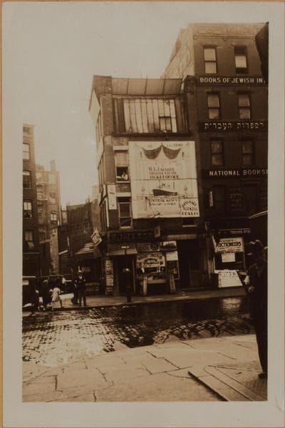
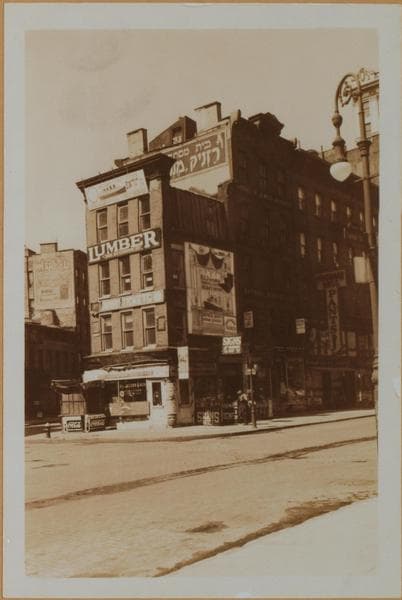
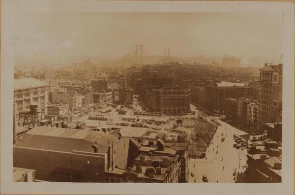
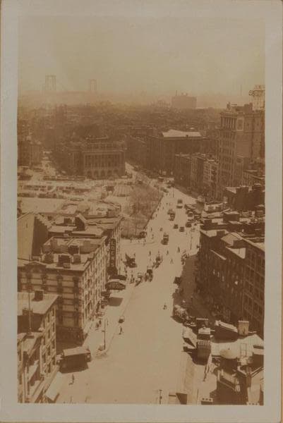
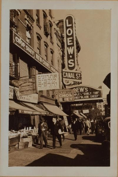
(1) Canal Street (running from foreground to rear) east from and in- cluding Ludlow Street (left fore, where truck is visible), to and including East Broadway (where it terminates), and showing the latter thoroughfare forming approximately a 160 degree angle and proceeding, essentially, in the same (eastward) direction. Also shown (center of view) is Seward Park extending from Essex, east to Jefferson Streets. Across same, appears the Seward Park branch of the New York Public Library, on the east side of Jefferson Street, from East Broadway to Division Street. In the right foreground are shown Nos. 135 to 143 Division Street, south side, where it meets Canal Street. It suspends its course there and resumes again at the eastern edge of the park, at the library. This picture was taken from the 12-story building No. 54-58 Canal Street, at the S.W. corner of Orchard Street and includes a panoramic view of the surrounding area with the Williamsburg Bridge in the distance.
May 9, 1930.
P. L. Sperr.
(2) The same, showing a more inclusive view. Note (on the right) the 10-story Jewish Daily Forward Building, 173-175 East Broadway, and slightly eastward, at the S.E. corner of Jefferson Street, the 5-story Educational Alliance Building.
May 9, 1930.
P. L. Sperr.
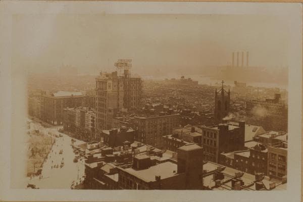
(3) The same, from a different angle and viewed in a southeasterly direction, showing the East River and the Brooklyn shore. At the right appears the steeple of St. Teresa's R.C. Church, at the N.W. corner of Rutgers and Henry Streets.
May 9, 1930.
P. L. Sperr.
Photo from the New York Public Library - Milstein Collection