VVestiges of New York49,000+ historical photos
MapBrowseAboutGet the iPhone app (opens the App Store)
  1. Browse /
  2. Manhattan /
  3. This place

Grand Street & Mangin Street, Manhattan

14 historical photos taken here between 1931 and 1940, oldest first.

See this spot on the map

Photos

  • Manhattan: Grand Street - Mangin Street, 1931

    Manhattan: Grand Street - Mangin Street

    1931

  • Bridges - Williamsburg Bridge. [Manhattan: Broome Street - Mangin Street.], 1935–1939

    Bridges - Williamsburg Bridge. [Manhattan: Broome Street - Mangin Street.]

    1935; 1939
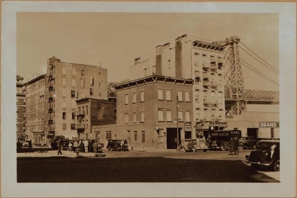
  • Bridges - Williamsburg Bridge. [Manhattan: Broome Street - Mangin Street.], 1935–1939

    Bridges - Williamsburg Bridge. [Manhattan: Broome Street - Mangin Street.]

    1935; 1939
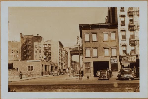
  • Manhattan: Grand Street - Mangin Street, 1935–1936

    Manhattan: Grand Street - Mangin Street

    1935; 1936
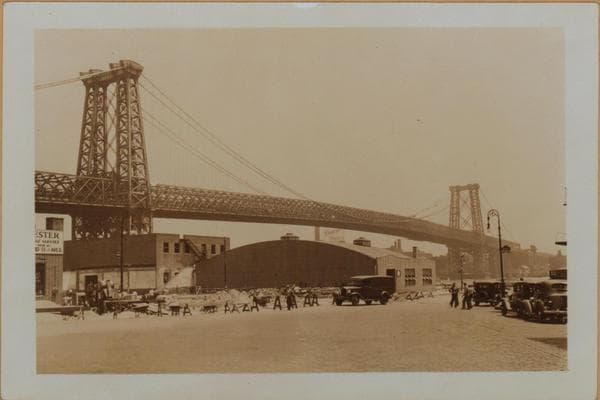
  • Bridges - Williamsburg Bridge. [Manhattan: Broome Street - Mangin Street.], 1935–1939

    Bridges - Williamsburg Bridge. [Manhattan: Broome Street - Mangin Street.]

    1935; 1939

  • Manhattan: Grand Street - Mangin Street, 1935–1936

    Manhattan: Grand Street - Mangin Street

    1935; 1936

  • Manhattan: Grand Street - Mangin Street, 1936

    Manhattan: Grand Street - Mangin Street
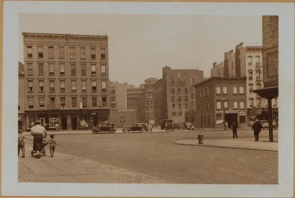
    1936

  • Manhattan: Grand Street - Mangin Street, 1936

    Manhattan: Grand Street - Mangin Street
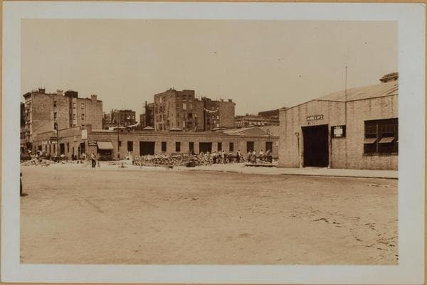
    1936

  • Manhattan: Grand Street - Mangin Street, 1936

    Manhattan: Grand Street - Mangin Street
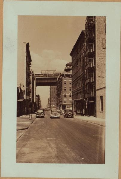
    1936

  • Manhattan: Grand Street - Mangin Street, 1936

    Manhattan: Grand Street - Mangin Street

    1936

  • Manhattan: Mangin Street - Grand Street, 1937

    Manhattan: Mangin Street - Grand Street

    1937

  • Manhattan: Mangin Street - Grand Street, 1937

    Manhattan: Mangin Street - Grand Street
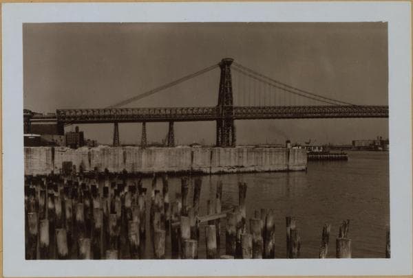
    1937

  • Manhattan: Corlears Street - Grand Street, 1940

    Manhattan: Corlears Street - Grand Street
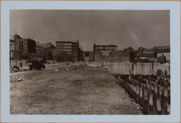
    1940

  • Manhattan: Corlears Street - Grand Street, 1940

    Manhattan: Corlears Street - Grand Street

    1940

Stand where these photos were taken

The free OldNYC app for iPhone centers the map on you and shows the historical photos taken closest to where you are.
Download on the App Store (opens the App Store)
QR code that opens OldNYC on the App Store

Or scan with your iPhone

Nearby places

  • Broome Street & Tompkins Street, Manhattan (6 photos)
  • Grand Street & Goerck Street, Manhattan (5 photos)
  • Mangin Street & Delancey Street, Manhattan (4 photos)
  • East Street & Grand Street, Manhattan (44 photos)
  • Monroe Street & Corlears Street, Manhattan (3 photos)
  • Broome Street & East Street, Manhattan (4 photos)
  • Grand Street & Lewis Street, Manhattan (6 photos)
  • Cannon Street & Broome Street, Manhattan (8 photos)

Explore

  • Map
  • Browse by place
  • Browse by decade

Boroughs

  • Manhattan
  • Brooklyn
  • Queens
  • Bronx
  • Staten Island

About

  • About and contact
  • Privacy

Photos: The New York Public Library, Milstein Collection

OldNYC for iPhone

Find the historical photos taken closest to where you stand.

Download on the App Store (opens the App Store)QR code that opens OldNYC on the App Store
Manhattan: Corlears Street - Grand Street, 1940

Photo 14 of 14 at Grand Street & Mangin Street, Manhattan

Manhattan: Corlears Street - Grand Street

1940

Corlears Street, north from the East River to Grand St. At the left is Corlears Hook Park. The cleared site on the right is to provide for the new East River Drive link between South Street and that section above Grand Street. Several business buildings intervened and were removed. These included the Hecker and the Odora Bldgs. Since their demolition, an unobstructed view of the Williamsburg Bridge appears. The new roadway will pass under same and continus across a fill to the point from where the photographer is standing. The nondescript structures in the left background are on the far side of the park, Cherry Street. April 7, 1940 1-2 P. L. Sperr

Photo from the New York Public Library - Milstein Collection

See this spot on the mapView on NYPL Digital Collections (opens in a new tab)

See this photo in high resolution

Zoom into the full-resolution scan in the OldNYC app for iPhone with OldNYC Supporter ($4.99). The free app also centers the map on you, so you can find the photos taken closest to where you stand.
Download on the App Store (opens the App Store)
QR code that opens OldNYC on the App Store

Or scan with your iPhone