VVestiges of New York49,000+ historical photos
MapBrowseAboutGet the iPhone app (opens the App Store)
  1. Browse /
  2. Manhattan /
  3. This place

Greenwich Street & Fulton Street, Manhattan

20 historical photos taken here between 1867 and 1941, oldest first.

See this spot on the map

Photos

  • Manhattan: Greenwich Street - Dey Street, 1867

    Manhattan: Greenwich Street - Dey Street
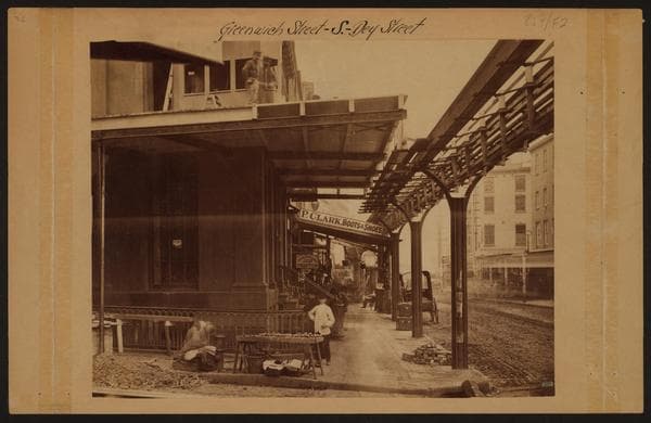
    1867

  • Manhattan: Greenwich Street - Dey Street, 1867

    Manhattan: Greenwich Street - Dey Street

    1867

  • Manhattan: Fulton Street - Greenwich Street, 1918

    Manhattan: Fulton Street - Greenwich Street
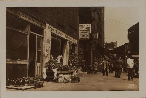
    1918

  • Manhattan: Greenwich Street - Dey Street, 1927

    Manhattan: Greenwich Street - Dey Street
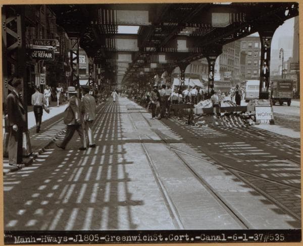
    1927

  • Manhattan: Greenwich Street - Fulton Street, 1930–1937

    Manhattan: Greenwich Street - Fulton Street

    1930; 1937
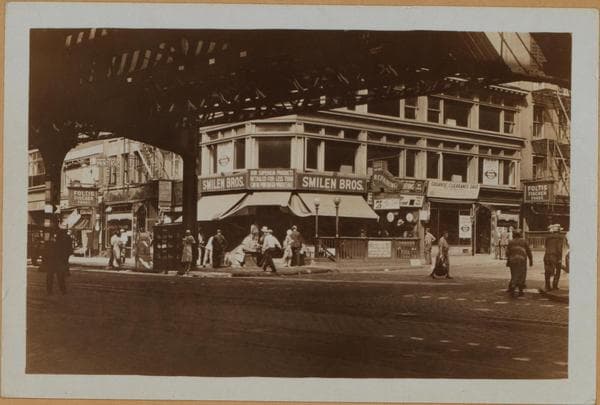
  • Manhattan: Fulton Street - Greenwich Street, 1930

    Manhattan: Fulton Street - Greenwich Street

    1930

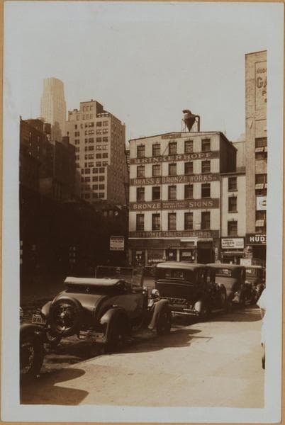
  • Manhattan: Greenwich Street - Fulton Street, 1930–1937

    Manhattan: Greenwich Street - Fulton Street

    1930; 1937
  • Manhattan: Dey Street - Greenwich Street, 1933

    Manhattan: Dey Street - Greenwich Street
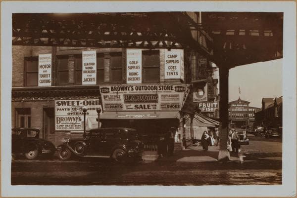
    1933

  • Manhattan: Greenwich Street - Fulton Street, 1933

    Manhattan: Greenwich Street - Fulton Street
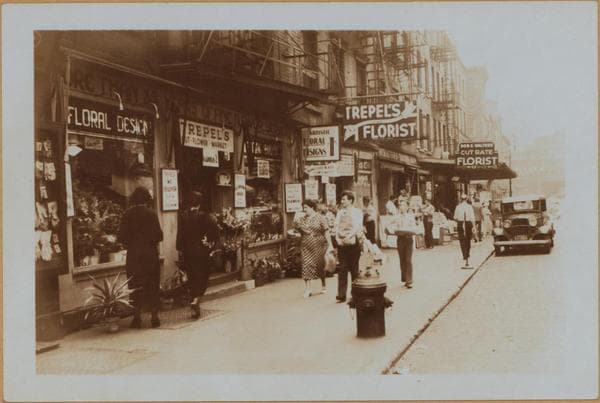
    1933

  • Manhattan: Fulton Street - Greenwich Street, 1936

    Manhattan: Fulton Street - Greenwich Street
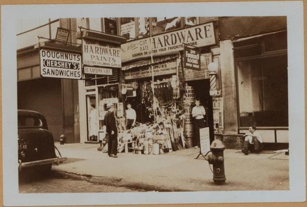
    1936

  • Manhattan: Greenwich Street - Fulton Street, 1936

    Manhattan: Greenwich Street - Fulton Street

    1936

  • Manhattan: Greenwich Street - Dey Street, 1936

    Manhattan: Greenwich Street - Dey Street

    1936

  • Manhattan: Greenwich Street - Fulton Street, 1936

    Manhattan: Greenwich Street - Fulton Street
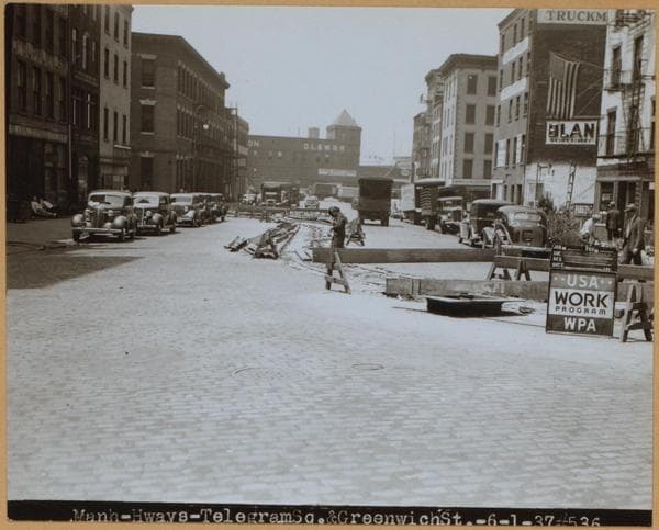
    1936

  • Manhattan: Dey Street - Greenwich Street, 1937

    Manhattan: Dey Street - Greenwich Street
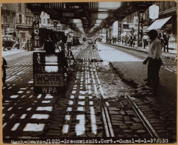
    1937

  • Manhattan: Greenwich Street - Dey Street, 1937

    Manhattan: Greenwich Street - Dey Street
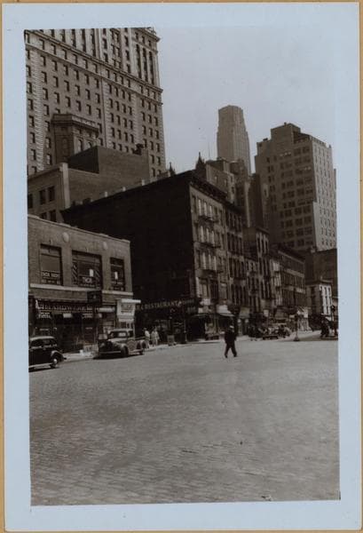
    1937

  • Manhattan: Greenwich Street - Dey Street, 1941

    Manhattan: Greenwich Street - Dey Street
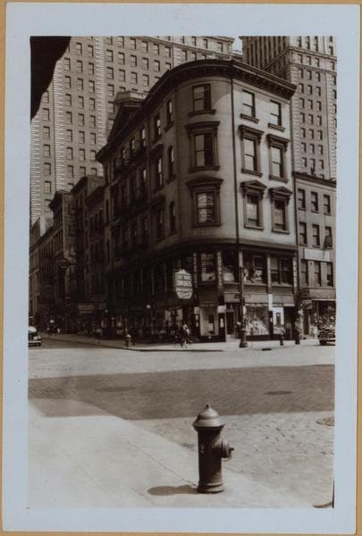
    1941

  • Manhattan: Greenwich Street - Fulton Street, 1941

    Manhattan: Greenwich Street - Fulton Street

    1941

  • Manhattan: Greenwich Street - Fulton Street, 1941

    Manhattan: Greenwich Street - Fulton Street
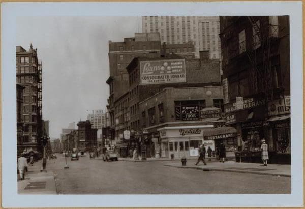
    1941

  • Manhattan: Greenwich Street - Dey Street, 1941

    Manhattan: Greenwich Street - Dey Street

    1941

  • Manhattan: Greenwich Street - Fulton Street, 1941

    Manhattan: Greenwich Street - Fulton Street

    1941

Stand where these photos were taken

The free OldNYC app for iPhone centers the map on you and shows the historical photos taken closest to where you are.
Download on the App Store (opens the App Store)
QR code that opens OldNYC on the App Store

Or scan with your iPhone

Nearby places

  • Washington Street & Dey Street, Manhattan (7 photos)
  • West Broadway & Vesey Street, Manhattan (51 photos)
  • Cortlandt Street & Greenwich Street, Manhattan (13 photos)
  • Barclay Street & West Broadway, Manhattan (22 photos)
  • Washington Street & Fulton Street, Manhattan (18 photos)
  • Church Street & Dey Street, Manhattan (5 photos)
  • Vesey Street & Church Street, Manhattan (34 photos)
  • Dey Street & West Street, Manhattan (21 photos)

Explore

  • Map
  • Browse by place
  • Browse by decade

Boroughs

  • Manhattan
  • Brooklyn
  • Queens
  • Bronx
  • Staten Island

About

  • About and contact
  • Privacy

Photos: The New York Public Library, Milstein Collection

OldNYC for iPhone

Find the historical photos taken closest to where you stand.

Download on the App Store (opens the App Store)QR code that opens OldNYC on the App Store
Manhattan: Greenwich Street - Dey Street, 1867

Photo 1 of 20 at Greenwich Street & Fulton Street, Manhattan

Manhattan: Greenwich Street - Dey Street

1867

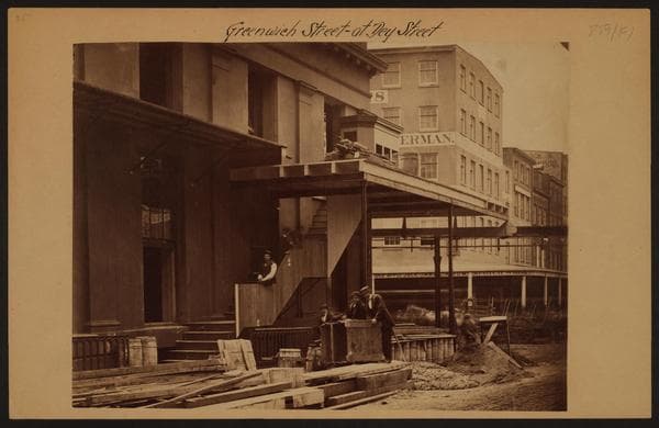
Greenwich Street, at Dey Street, showing the "El" station at the S.E. corner under construction. This view shows the Dey Street side, as the "El" tracks are on Greenwich Street. To the right center are buildings at the S.W. corner of this intersection. Kings "Handbook of New York" states that the inventor Charles C. Harvey was permitted to build an experimental track along Greenwich Street from the Battery to 29th St. If it succeeded he was to have permission to extend the line to the Harlem River, but if it failed he was to take it down. The system was commenced in 1867 and the means of locomotion was a wire rope drawn by a stationary engine. The method was unsuccessful and the matter lay in sbayence for several years. The company failed in 1870 and was succeeded by the New York Elevated Railroad Co. which began the use of small locomotives on the tracks.

Photo from the New York Public Library - Milstein Collection

See this spot on the mapView on NYPL Digital Collections (opens in a new tab)

See this photo in high resolution

Zoom into the full-resolution scan in the OldNYC app for iPhone with OldNYC Supporter ($4.99). The free app also centers the map on you, so you can find the photos taken closest to where you stand.
Download on the App Store (opens the App Store)
QR code that opens OldNYC on the App Store

Or scan with your iPhone