VVestiges of New York49,000+ historical photos
MapBrowseAboutGet the iPhone app (opens the App Store)
  1. Browse /
  2. Manhattan /
  3. This place

Park Avenue & 32nd Street, Manhattan

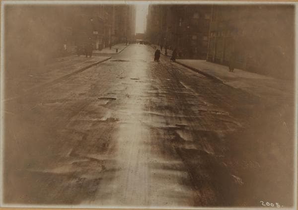
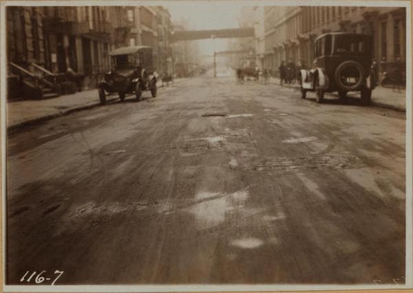
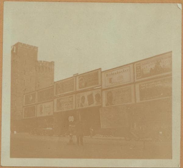
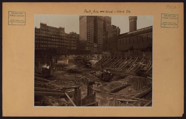
26 historical photos taken here between 1880 and 1941, oldest first.

See this spot on the map

Photos

  • Manhattan: 4th Avenue - 32nd Street, 1880

    Manhattan: 4th Avenue - 32nd Street

    1880

  • Manhattan: 4th Avenue - 32nd Street, 1895

    Manhattan: 4th Avenue - 32nd Street

    1895

  • Manhattan: Park Avenue - Vanderbilt Avenue, 1900

    Manhattan: Park Avenue - Vanderbilt Avenue

    1900

  • Manhattan: Park Avenue - 33rd Street, 1900

    Manhattan: Park Avenue - 33rd Street

    1900

  • Manhattan: Park Avenue - 32nd Street, 1906

    Manhattan: Park Avenue - 32nd Street

    1906

  • Manhattan: 4th Avenue - 32nd Street, 1906

    Manhattan: 4th Avenue - 32nd Street

    1906

  • Manhattan: 4th Avenue - 32nd Street, 1906

    Manhattan: 4th Avenue - 32nd Street

    1906

  • Manhattan: 4th Avenue - 32nd Street, 1911

    Manhattan: 4th Avenue - 32nd Street

    1911

  • Manhattan: 33rd Street - 4th Avenue, 1919

    Manhattan: 33rd Street - 4th Avenue

    1919

  • Manhattan: 33rd Street - 4th Avenue, 1919

    Manhattan: 33rd Street - 4th Avenue

    1919

  • Manhattan: 32nd Street - 1st Street, 1921

    Manhattan: 32nd Street - 1st Street

    1921

  • Manhattan: Park Avenue - 32nd Street, 1924

    Manhattan: Park Avenue - 32nd Street

    1924

  • Manhattan: Park Avenue - 32nd Street, 1925

    Manhattan: Park Avenue - 32nd Street

    1925

  • Manhattan: Park Avenue - 32nd Street, 1926

    Manhattan: Park Avenue - 32nd Street

    1926

  • Manhattan: Park Avenue - 32nd Street (East), 1927–1941

    Manhattan: Park Avenue - 32nd Street (East)

    1927; 1941
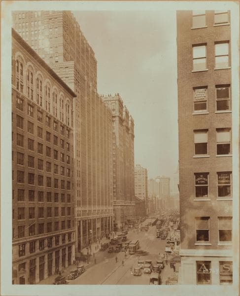
  • Manhattan: Park Avenue - 32nd Street, 1928

    Manhattan: Park Avenue - 32nd Street

    1928

  • Manhattan: 32nd Street - 33rd Street, 1926–1928

    Manhattan: 32nd Street - 33rd Street

    1926; 1928

  • Manhattan: Park Avenue - 33rd Street, 1929–1931

    Manhattan: Park Avenue - 33rd Street

    1929; 1931

  • Manhattan: Park Avenue - 33rd Street, 1929–1931

    Manhattan: Park Avenue - 33rd Street

    1929; 1931
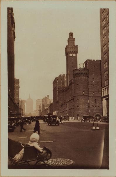
  • Manhattan: Park Avenue - 32nd Street, 1929

    Manhattan: Park Avenue - 32nd Street

    1929

  • Manhattan: Park Avenue - 33rd Street, 1929–1931

    Manhattan: Park Avenue - 33rd Street

    1929; 1931
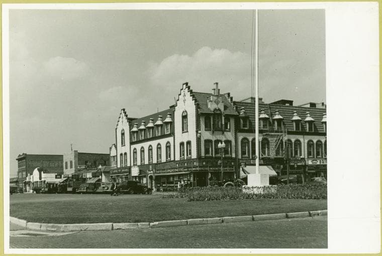
  • Intersection E. Park Place and Park Ave, 1930–1939

    Intersection E. Park Place and Park Ave

    1930; 1939
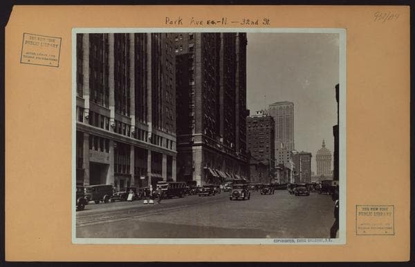
  • Manhattan: Park Avenue - 32nd Street, 1930

    Manhattan: Park Avenue - 32nd Street

    1930

  • Manhattan: 4th Avenue - 32nd Street, 1931

    Manhattan: 4th Avenue - 32nd Street

    1931

  • East River - Piers., 1934

    East River - Piers.

    1934

  • East River - Piers., 1934

    East River - Piers.

    1934

Stand where these photos were taken

The free OldNYC app for iPhone centers the map on you and shows the historical photos taken closest to where you are.
Download on the App Store (opens the App Store)
QR code that opens OldNYC on the App Store

Or scan with your iPhone

Nearby places

  • Park Avenue & 34th Street, Manhattan (53 photos)
  • 33rd Street & Madison Avenue, Manhattan (3 photos)
  • Lexington Avenue & Classon Avenue, Manhattan (9 photos)
  • 4th Avenue & 31st Street, Manhattan (13 photos)
  • 34th Street & Lexington Avenue, Manhattan (8 photos)
  • 31st Street & Madison Avenue, Manhattan (13 photos)
  • The Nottingham, 33-35-37 East 30th Street, Manhattan (3 photos)
  • East 35th Street & Madison Avenue, Manhattan (9 photos)

Explore

  • Map
  • Browse by place
  • Browse by decade

Boroughs

  • Manhattan
  • Brooklyn
  • Queens
  • Bronx
  • Staten Island

About

  • About and contact
  • Privacy

Photos: The New York Public Library, Milstein Collection

OldNYC for iPhone

Find the historical photos taken closest to where you stand.

Download on the App Store (opens the App Store)QR code that opens OldNYC on the App Store
Manhattan: Park Avenue - 32nd Street, 1906

Photo 5 of 26 at Park Avenue & 32nd Street, Manhattan

Manhattan: Park Avenue - 32nd Street

1906

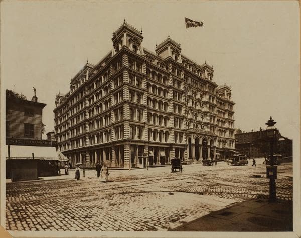
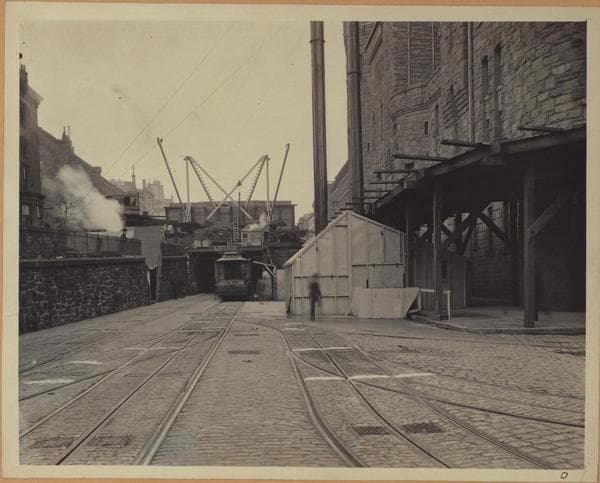
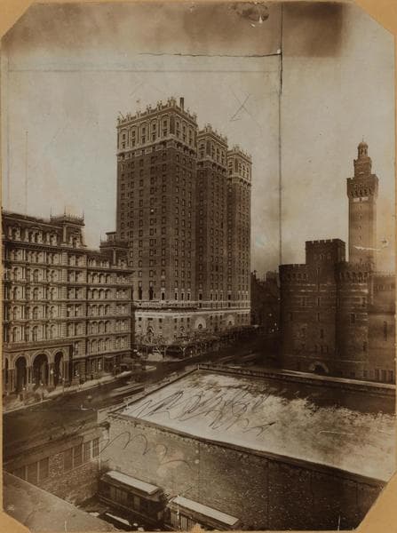
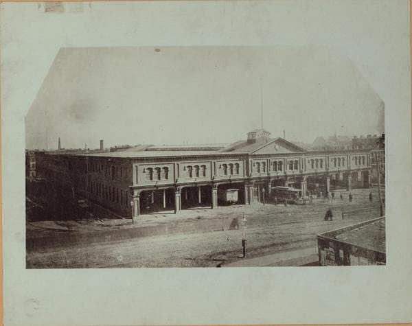
Park Avenue, north from 32nd Street and Fourth Avenue, a point just north of the old Sunfish Pond. The Street car tunnel is the old tunnel under Murray Hill cut by the New York and Harlem Railway in its early days. An engine house with a turntable stood where the Armory is now located, and there was a roundhouse or engine house in the block where the Park Avenue Hotel is shown. The name Park Avenue was first applied to that portion of Fourth Avenue between 34th and 42nd Streets, and is so shown on maps, with the little green parks in the middle of the avenue in each block, as early as 1867. Above 42nd Street the name Park Avenue was not applied till nearly 1890. After the building of the first Grand Central Station in 1870, train service down to Madison Square was discontinued, and the tunnel taken over by the horse-cars. In 1898 this surface line was electrified. In 1935, when the Madison and Fourth Avenue street cars have been superseded by buses, the tunnel will be remodeled for automobile traffic. On the east side from 32nd to 33rd Streets stand the barbarns of the Metropolitan Street Railway; they will be torn down in 1925. The 71st Regiment Armory, shown in the next block, was erected in 1893. On the west side of the avenue, the Park Avenue Hotel, built by A. T. Stewart in the 1870's, will give place in 1926 to the new No. 2 Park Avenue building. On either side of 33rd Street may be seen subway entrances; the subway has been open about two years. The 333rd to 34th Street block, west, will be demolished in 1910 to make room for the Vanderbilt Hotel. On the horizon may be seen the new Hotel Belmont on the southwest corner of 42nd Street, and one dome of the old Grand Central Station. Compare this picture with Galloway's view of the west side of the avenue, looking north from this point, in 1930. Brown Brothers, Photographers.

Photo from the New York Public Library - Milstein Collection

See this spot on the mapView on NYPL Digital Collections (opens in a new tab)

See this photo in high resolution

Zoom into the full-resolution scan in the OldNYC app for iPhone with OldNYC Supporter ($4.99). The free app also centers the map on you, so you can find the photos taken closest to where you stand.
Download on the App Store (opens the App Store)
QR code that opens OldNYC on the App Store

Or scan with your iPhone