VVestiges of New York49,000+ historical photos
MapBrowseAboutGet the iPhone app (opens the App Store)
  1. Browse /
  2. Manhattan /
  3. This place

South Street & Wall Street, Manhattan

71 historical photos taken here between 1900 and 1940, oldest first.

See this spot on the map

Photos

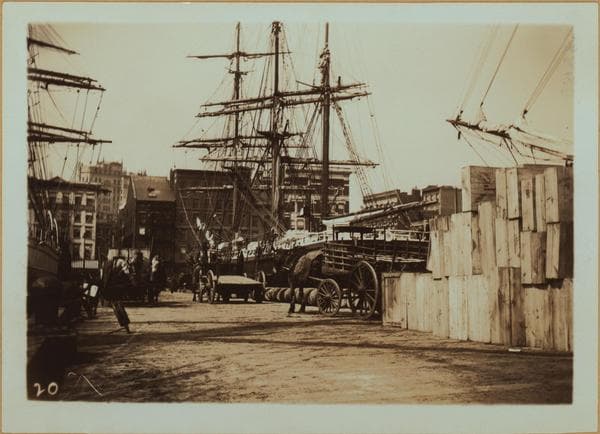
  • East River - shore and skyline., 1900

    East River - shore and skyline.

    1900

  • East River - shore and skyline., 1900

    East River - shore and skyline.

    1900

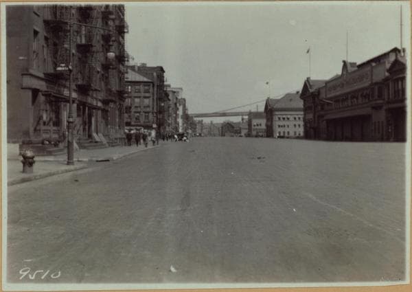
  • Manhattan: South Street - Wall Street, 1918–1921

    Manhattan: South Street - Wall Street

    1918; 1921
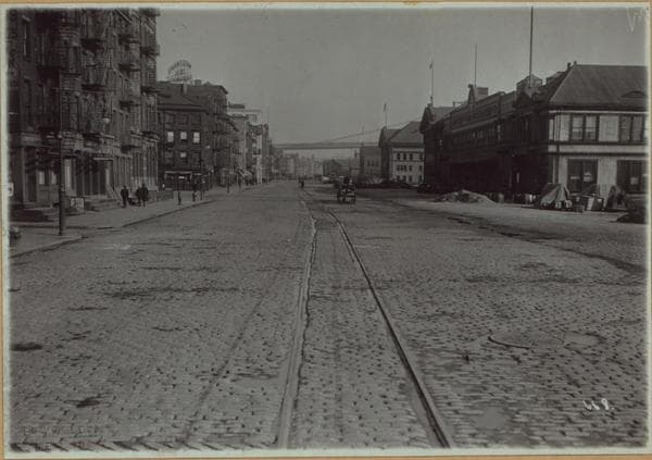
  • Manhattan: South Street - Wall Street, 1918–1921

    Manhattan: South Street - Wall Street

    1918; 1921
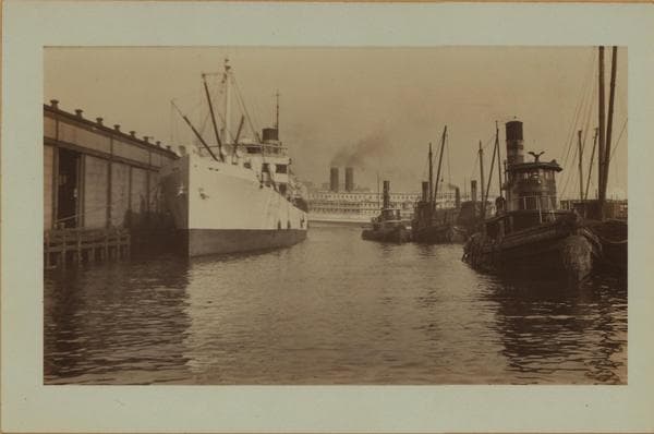
  • East River scenes., 1926

    East River scenes.

    1926

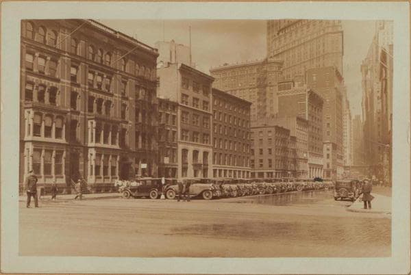
  • Manhattan: South Street - Wall Street, 1927

    Manhattan: South Street - Wall Street
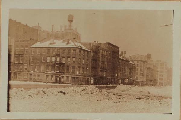
    1927

  • Manhattan: South Street - Wall Street, 1929

    Manhattan: South Street - Wall Street

    1929

  • East River - Shore and skyline of lower Manhattan - South Ferry - Williamsburg Bridge - Battery Park - John Street., 1929–1932

    East River - Shore and skyline of lower Manhattan - South Ferry - Williamsburg Bridge - Battery Park - John Street.

    1929; 1930; 1932
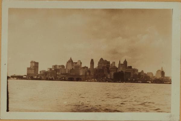
  • East River - Shore and skyline of lower Manhattan - South Ferry - Williamsburg Bridge - Battery Park - John Street., 1929–1932

    East River - Shore and skyline of lower Manhattan - South Ferry - Williamsburg Bridge - Battery Park - John Street.

    1929; 1930; 1932

  • Manhattan: Wall Street - South Street, 1929

    Manhattan: Wall Street - South Street
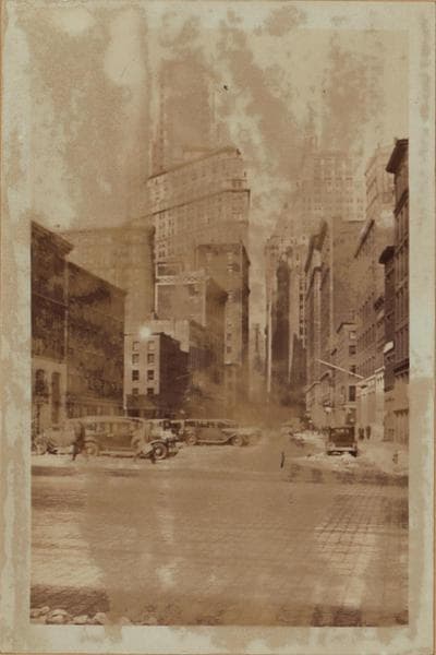
    1929

  • Manhattan: Wall Street - South Street, 1929

    Manhattan: Wall Street - South Street
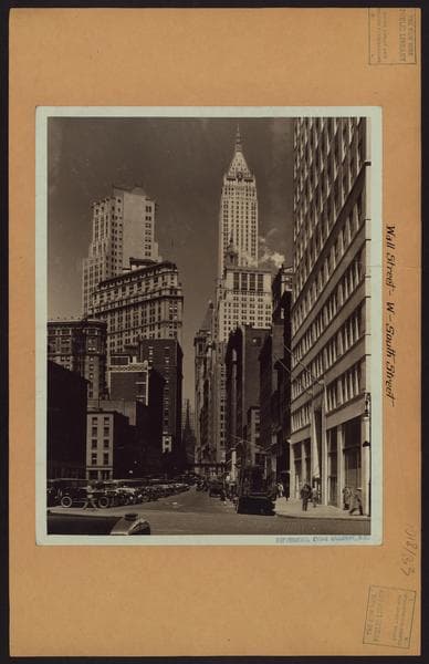
    1929

  • Manhattan: Wall Street - South Street, 1929

    Manhattan: Wall Street - South Street

    1929

  • General view - [Manhattan - Downtown skyline.], 1929

    General view - [Manhattan - Downtown skyline.]
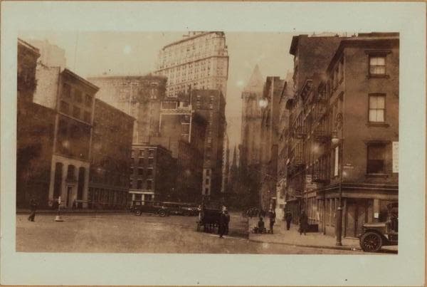
    1929

  • Manhattan: Wall Street - South Street, 1929

    Manhattan: Wall Street - South Street
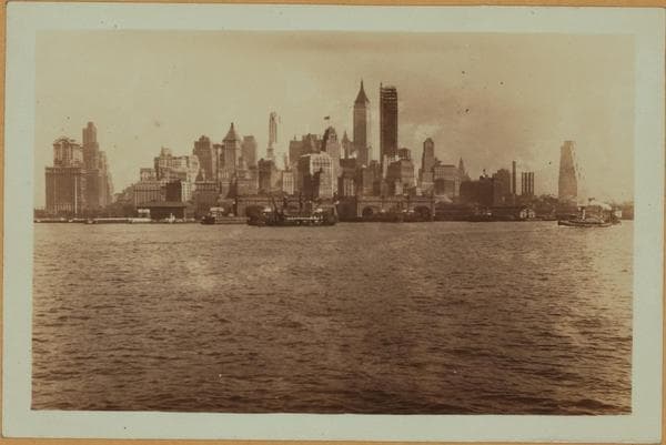
    1929

  • East River - Shore and skyline of lower Manhattan - South Ferry - Williamsburg Bridge - Battery Park - John Street., 1929–1932

    East River - Shore and skyline of lower Manhattan - South Ferry - Williamsburg Bridge - Battery Park - John Street.

    1929; 1930; 1932
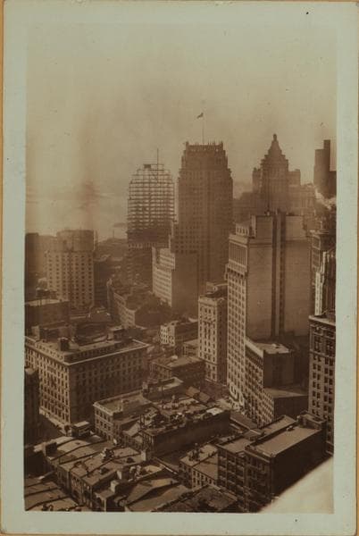
  • General view - Wall Street - Southwest., 1930

    General view - Wall Street - Southwest.
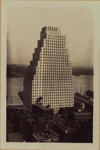
    1930

  • Manhattan: Wall Street - South Street, 1930–1933

    Manhattan: Wall Street - South Street

    1930; 1933
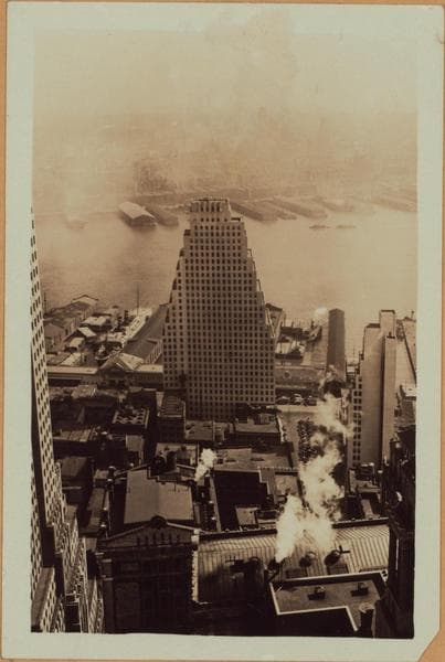
  • Manhattan: Wall Street - South Street, 1930–1933

    Manhattan: Wall Street - South Street

    1930; 1933
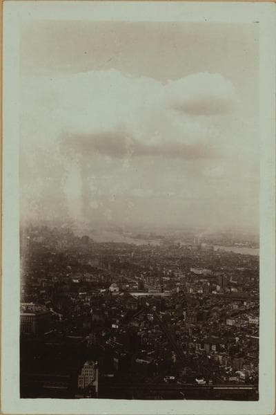
  • General view - East side of Lower Manhattan., 1930–1933

    General view - East side of Lower Manhattan.

    1930; 1933

  • General view - Wall Street - Northwest., 1930

    General view - Wall Street - Northwest.
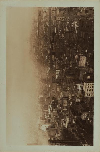
    1930

  • General view - East side of Lower Manhattan., 1930–1933

    General view - East side of Lower Manhattan.

    1930; 1933
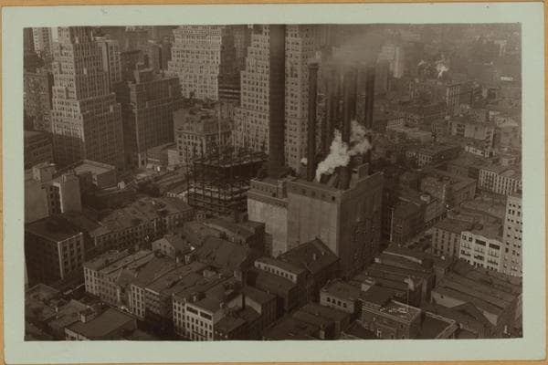
  • General view - Wall Street - Northwest, 1930

    General view - Wall Street - Northwest

    1930

  • General view - Wall Street - Northwest, 1930

    General view - Wall Street - Northwest
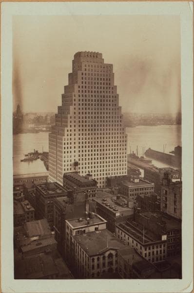
    1930

  • Manhattan: Wall Street - South Street, 1930–1933

    Manhattan: Wall Street - South Street

    1930; 1933

  • General view - Wall Street - Northwest., 1930

    General view - Wall Street - Northwest.
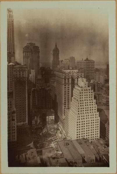
    1930

  • General view - Wall Street - Northwest., 1930

    General view - Wall Street - Northwest.
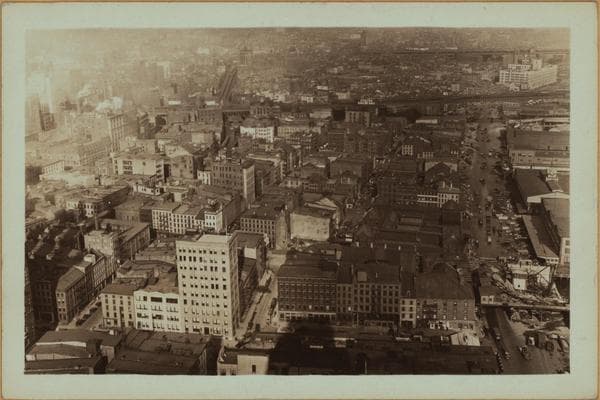
    1930

  • General view - Wall Street - North., 1930

    General view - Wall Street - North.

    1930

  • Manhattan: Wall Street - South Street, 1930–1931

    Manhattan: Wall Street - South Street

    1930; 1931
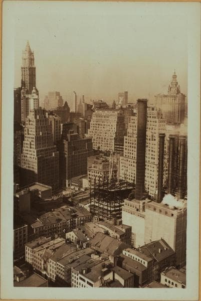
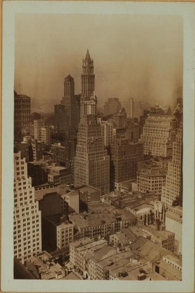
  • General view - Wall Street - Northwest., 1930

    General view - Wall Street - Northwest.
    1930

  • General view - Wall Street - Northwest., 1930

    General view - Wall Street - Northwest.

    1930

  • General view - Wall Street - North.

    1930

  • General view - Wall Street - Northwest.

    1930

  • General view - Wall Street - North.

    1930

  • Manhattan: Wall Street - South Street

    1930; 1931

  • Manhattan: Wall Street - South Street

    1931

  • Manhattan: South Street - Wall Street

    1931

  • Manhattan: South Street - Wall Street

    1931

  • East River - Piers 16-17 - Manhattan - South Street - [City Bank-Farmers Trust Company ; Farmer's Loan and Trust Company.]

    1931; 1933

  • East River - Piers 16-17 - Manhattan - South Street - [City Bank-Farmers Trust Company ; Farmer's Loan and Trust Company.]

    1931; 1933

  • Manhattan: South Street - Coenties Slip

    1931

  • Manhattan: Wall Street - South Street

    1931

  • East River - Piers 16-17 - Manhattan - South Street - [City Bank-Farmers Trust Company ; Farmer's Loan and Trust Company.]

    1931; 1933

  • East River - Piers 11-12 - Manhattan - South Street.

    1932

  • East River - Piers 11-12 - Manhattan - South Street.

    1932

  • General view - Wall Street - Northwest.

    1932

  • Manhattan: Wall Street - South Street

    1932

  • East River - Pier 11 - [Bank of Manhattan - 60 Wall Street Tower - Schooner R.R. Govin.]

    1933

  • East River - Pier 11 - [Bank of Manhattan - 60 Wall Street Tower - Schooner R.R. Govin.]

    1933

  • East River - Pier 11 - [Bank of Manhattan - 60 Wall Street Tower - Schooner R.R. Govin.]

    1933

  • East River - shore and skyline ; South ferry ; Williamsburg bridge.

    1934

  • Manhattan: Wall Street - South Street

    1934

  • Manhattan: Wall Street - South Street

    1935

  • General view - Lower Manhattan - Brooklyn Bridge.

    1936

  • East River - Pier 11 - [American Sugar Refining Company.]

    1936

  • East River at the foot of Wall Street.

    1937

  • Manhattan: South Street - Wall Street

    1938; 1939

  • Manhattan: South Street - Wall Street

    1938; 1939

  • Manhattan: South Street - 65th Street

    1939

  • Manhattan: South Street - Wall Street

    1939

  • Manhattan: South Street - Wall Street

    1939

  • Manhattan: South Street - Wall Street

    1939

  • Manhattan: South Street - 65th Street

    1939

  • Manhattan: South Street - Wall Street

    1939

  • Manhattan: South Street - 65th Street

    1939

  • General view - Lower Manhattan.

    1940

  • Manhattan: South Street - Wall Street

    1940

  • General view - Lower Manhattan.

    1940

  • Manhattan: South Street - Wall Street

    1940

  • Wall Street #120

    Unknown

  • 120 Wall Street - South Street

    Unknown

  • Wall Street #120

    Unknown

30 of 71 photos shown

Stand where these photos were taken

The free OldNYC app for iPhone centers the map on you and shows the historical photos taken closest to where you are.
Download on the App Store (opens the App Store)
QR code that opens OldNYC on the App Store

Or scan with your iPhone

Nearby places

  • Gouverneur Lane & South Street, Manhattan (10 photos)
  • East River, Manhattan (12 photos)
  • Front Street & Depeyster Street, Manhattan (6 photos)
  • Maiden Lane & South Street, Manhattan (34 photos)
  • Wall Street & Front Street, Manhattan (24 photos)
  • Old Slip & Front Street, Manhattan (20 photos)
  • South Street & Old Slip, Manhattan (37 photos)
  • Maiden Lane & Water Street, Manhattan (16 photos)

Explore

  • Map
  • Browse by place
  • Browse by decade

Boroughs

  • Manhattan
  • Brooklyn
  • Queens
  • Bronx
  • Staten Island

About

  • About and contact
  • Privacy

Photos: The New York Public Library, Milstein Collection

OldNYC for iPhone

Find the historical photos taken closest to where you stand.

Download on the App Store (opens the App Store)QR code that opens OldNYC on the App Store
General view - Wall Street - Northwest, 1930

Photo 22 of 71 at South Street & Wall Street, Manhattan

General view - Wall Street - Northwest

1930

120 Wall Street, (American Sugar Refining Building), South, Street, west side from Wall to Pine Streets, (general view northwest ward). A set of two views showing the rising insurance center of lower Manhattan. This district is adjoining to the north and closely allied to the Wall Street financial houses and corporations. In the center are the smoke stacks of the New York Steam Co. plant obscuring as it were, the aforementioned zone. Thru same appears the 26 storied building No. 111 John Street. The new construction, shown in two stages, only three weeks apart, is the 35 storied building, No. 1 Platt Street. At the westerly end of the same block, close observation will note the excavation for the 28 story, No. 90 John Street (also No. 15 Platt Street). Forming a backdrop for the latter (opposite side of Gold Street) are the 25 and 14 story buildings that are respectively, the Insurance Center Building and the National Board of Fire Underwriters Building. View: 1 Oct. 3, 1930 View: 2 Oct. 22, 1930 P. L. Sperr

Photo from the New York Public Library - Milstein Collection

See this spot on the mapView on NYPL Digital Collections (opens in a new tab)

See this photo in high resolution

Zoom into the full-resolution scan in the OldNYC app for iPhone with OldNYC Supporter ($4.99). The free app also centers the map on you, so you can find the photos taken closest to where you stand.
Download on the App Store (opens the App Store)
QR code that opens OldNYC on the App Store

Or scan with your iPhone