VVestiges of New York49,000+ historical photos
MapBrowseAboutGet the iPhone app (opens the App Store)
  1. Browse /
  2. Manhattan /
  3. This place

State Street & Whitehall Street, Manhattan

30 historical photos taken here between 1900 and 1954, oldest first.

See this spot on the map

Photos

  • Manhattan: State Street - Whitehall Street, 1900

    Manhattan: State Street - Whitehall Street
    1900

  • Manhattan: State Street - Whitehall Street, 1905–1927

    Manhattan: State Street - Whitehall Street

    1905; 1911; 1927
  • Manhattan: State Street - Whitehall Street, 1905–1927

    Manhattan: State Street - Whitehall Street

    1905; 1911; 1927
  • Manhattan: State Street - Whitehall Street, 1905–1927

    Manhattan: State Street - Whitehall Street

    1905; 1911; 1927
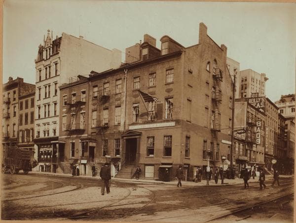
  • Manhattan: State Street - Whitehall Street, 1907

    Manhattan: State Street - Whitehall Street
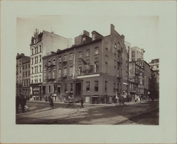
    1907

  • Manhattan: State Street - Whitehall Street, 1907

    Manhattan: State Street - Whitehall Street
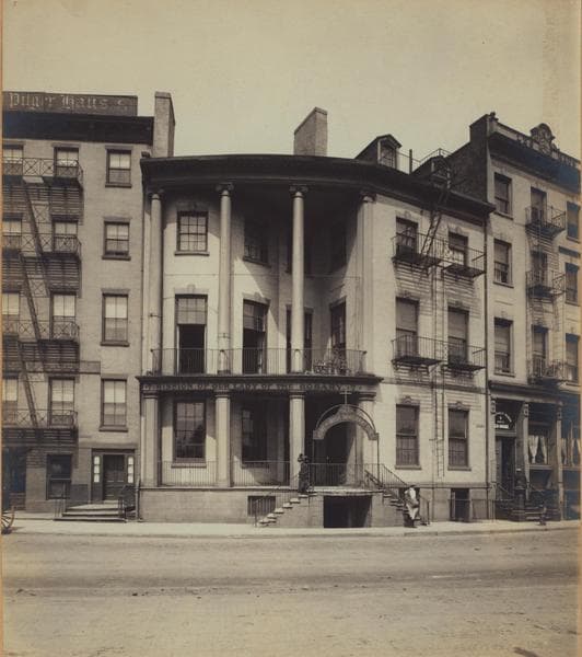
    1907

  • Manhattan: State Street - Whitehall Street, 1912

    Manhattan: State Street - Whitehall Street
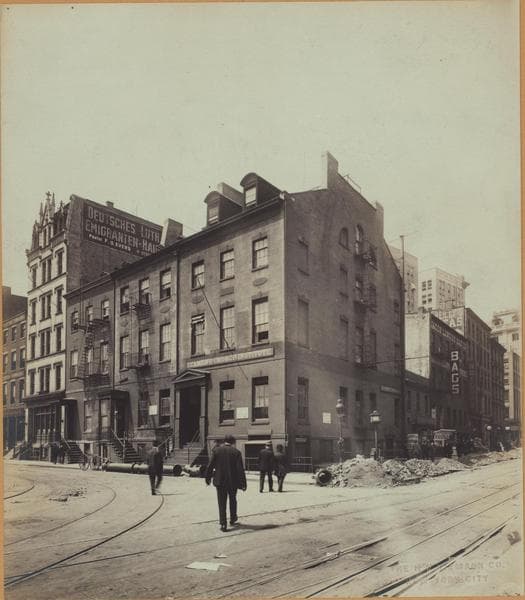
    1912

  • Manhattan: State Street - Whitehall Street, 1912

    Manhattan: State Street - Whitehall Street
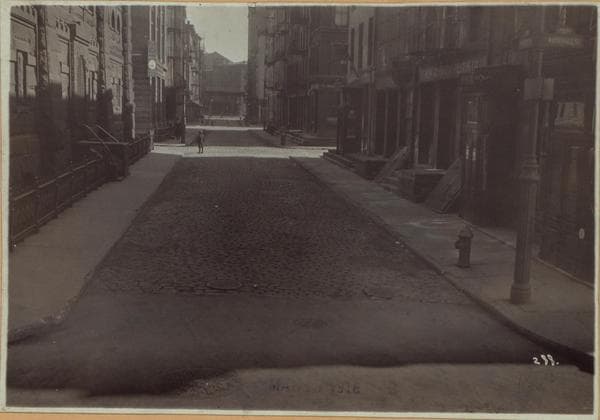
    1912

  • Manhattan: Water Street - Whitehall Street, 1918-03-17

    Manhattan: Water Street - Whitehall Street
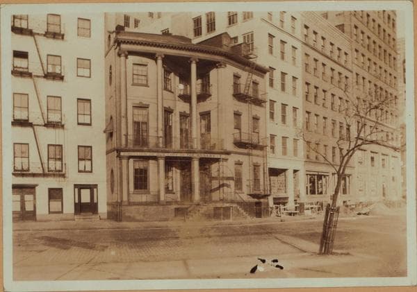
    1918-03-17

  • Manhattan: State Street - Whitehall Street, 1922

    Manhattan: State Street - Whitehall Street
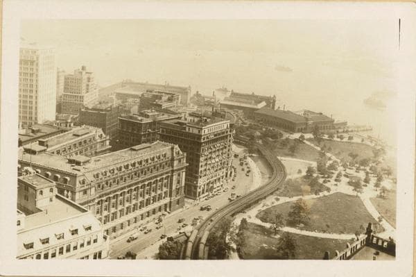
    1922

  • Manhattan: Battery Park - U.S.Custom House, 1929-06-20

    Manhattan: Battery Park - U.S.Custom House
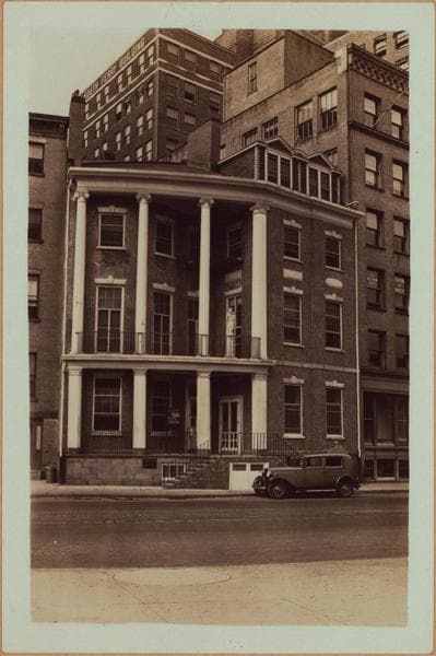
    1929-06-20

  • Manhattan: State Street - Whitehall Street, 1930–1932

    Manhattan: State Street - Whitehall Street

    1930; 1932
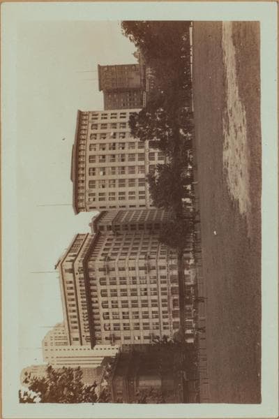
  • Manhattan: State Street - 3rd Avenue, 1930–1933

    Manhattan: State Street - 3rd Avenue

    1930; 1933
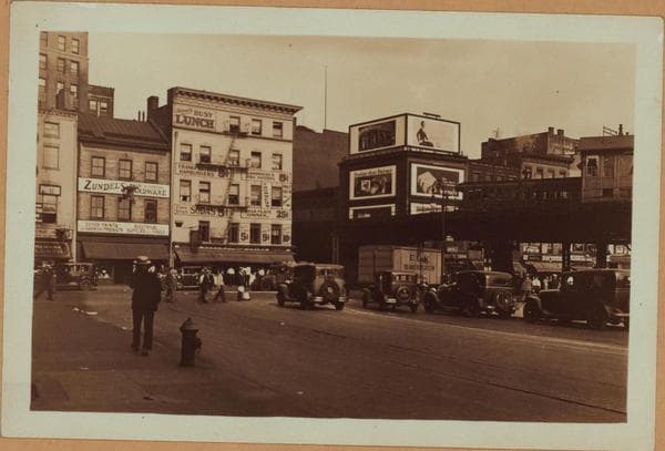
  • Manhattan: Whitehall Street - Water Street, 1930

    Manhattan: Whitehall Street - Water Street
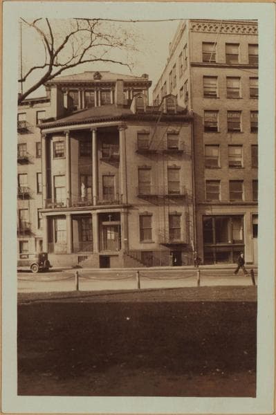
    1930

  • Manhattan: State Street - Whitehall Street, 1930–1932

    Manhattan: State Street - Whitehall Street

    1930; 1932

  • Manhattan: Whitehall Street - Water Street, 1930

    Manhattan: Whitehall Street - Water Street
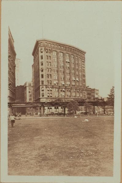
    1930

  • Manhattan: State Street - 3rd Avenue, 1930–1933

    Manhattan: State Street - 3rd Avenue

    1930; 1933
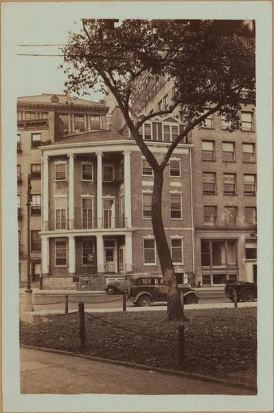
  • Manhattan: State Street - Whitehall Street, 1930–1932

    Manhattan: State Street - Whitehall Street

    1930; 1932
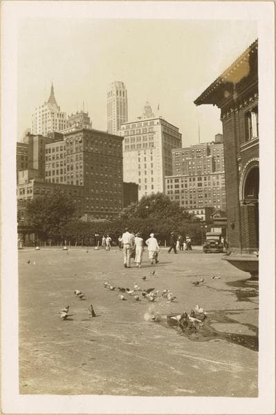
  • Manhattan: Battery Park Fountain near the Ellis Island Ferry building., 1932-1933

    Manhattan: Battery Park Fountain near the Ellis Island Ferry building.

    1932-1933

  • Manhattan: Battery Park Fountain near the Ellis Island Ferry building., 1932–1933

    Manhattan: Battery Park Fountain near the Ellis Island Ferry building.

    1932; 1933
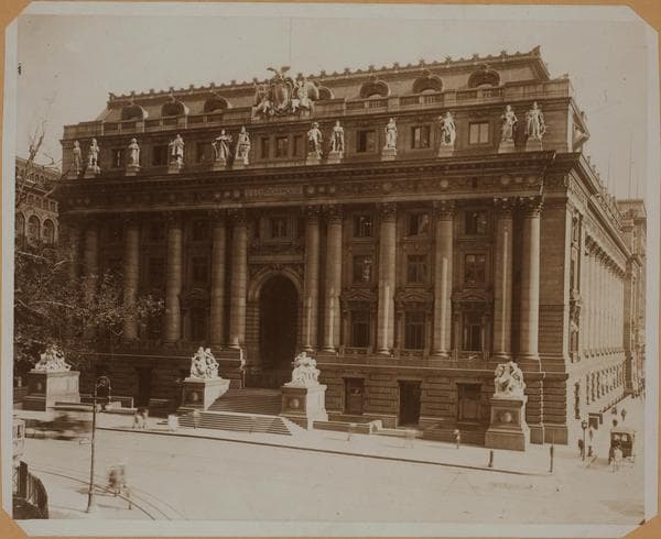
  • Manhattan: State Street - Whitehall Street, 1932-01-14

    Manhattan: State Street - Whitehall Street
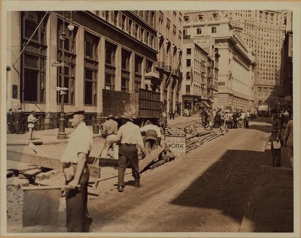
    1932-01-14

  • Manhattan: Whitehall Street - State Street, 1936

    Manhattan: Whitehall Street - State Street
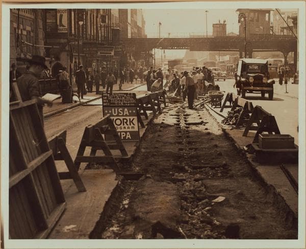
    1936

  • Manhattan: Whitehall Street - Water Street, 1936

    Manhattan: Whitehall Street - Water Street

    1936

  • Manhattan: Whitehall Street - State Street, 1936

    Manhattan: Whitehall Street - State Street
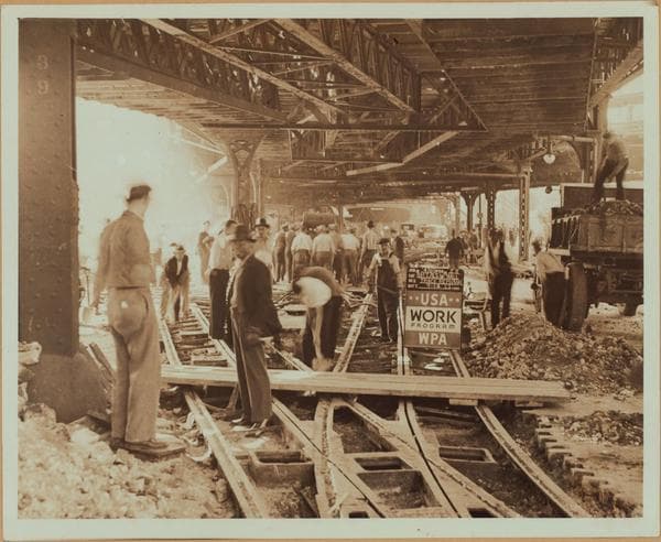
    1936

  • Manhattan: Whitehall Street - State Street, 1936

    Manhattan: Whitehall Street - State Street
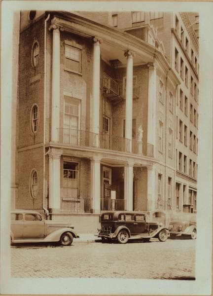
    1936

  • Manhattan: State Street - Whitehall Street, 1937

    Manhattan: State Street - Whitehall Street
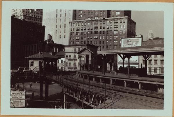
    1937

  • Manhattan: South Ferry - State Street, 1940

    Manhattan: South Ferry - State Street
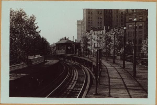
    1940

  • Manhattan: South Ferry - State Street, 1940

    Manhattan: South Ferry - State Street
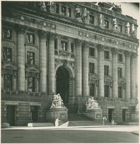
    1940

  • Bowling Green between State Street and Whitehall Street, 1954

    Bowling Green between State Street and Whitehall Street
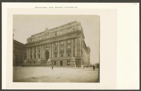
    1954

  • Bowling Green between State Street and Whitehall Street

    Bowling Green between State Street and Whitehall Street

    Unknown

Stand where these photos were taken

The free OldNYC app for iPhone centers the map on you and shows the historical photos taken closest to where you are.
Download on the App Store (opens the App Store)
QR code that opens OldNYC on the App Store

Or scan with your iPhone

Nearby places

  • Whitehall Street & South Street, Manhattan (35 photos)
  • State Street & 3rd Avenue, Manhattan (28 photos)
  • Moore Street & Water Street, Manhattan (5 photos)
  • Broad Street & South Street, Manhattan (27 photos)
  • Strikes and demonstrations, Manhattan (10 photos)
  • Broadway & Whitehall Street, Manhattan (21 photos)
  • Pearl Street & Broad Street, Manhattan (78 photos)
  • Coenties Slip & Front Street, Manhattan (25 photos)

Explore

  • Map
  • Browse by place
  • Browse by decade

Boroughs

  • Manhattan
  • Brooklyn
  • Queens
  • Bronx
  • Staten Island

About

  • About and contact
  • Privacy

Photos: The New York Public Library, Milstein Collection

OldNYC for iPhone

Find the historical photos taken closest to where you stand.

Download on the App Store (opens the App Store)QR code that opens OldNYC on the App Store
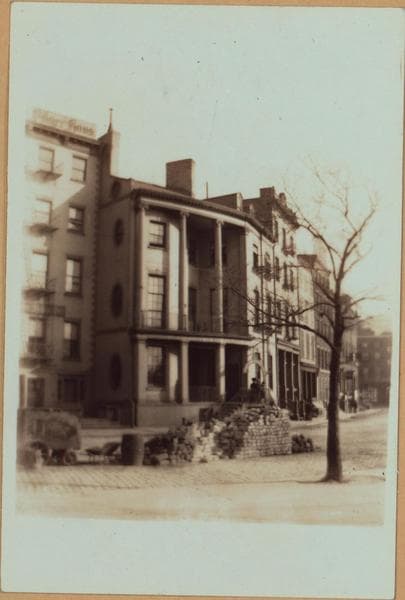
Manhattan: State Street - Whitehall Street, 1907

Photo 6 of 30 at State Street & Whitehall Street, Manhattan

Manhattan: State Street - Whitehall Street

1907

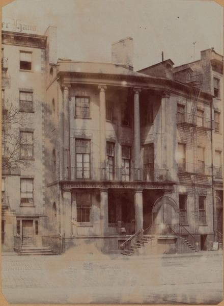
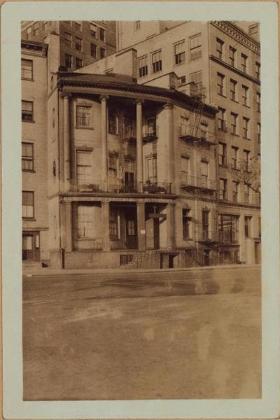
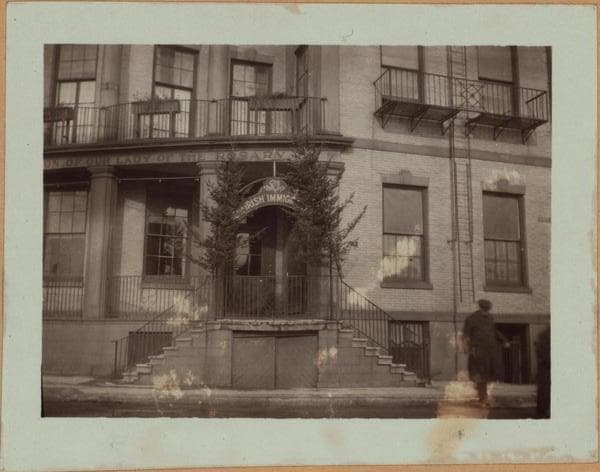
1 to 6 State Street, (left), at, adjoining and west of the N.W. corner of Whitehall Street, showing the Seamen's Church Institute (No. 1, corner building) and contiguous to it the house of the British Consulate General (No. 2). Also seen, are Nos. 46 to 34 Whitehall Street (right), west side, north from and including State, to Pearl Streets. Nos. 1 to 3 State and 46 to 40 Whitehall Streets, were demolished in 1913, and their sites are now (1937), occupied by the 12-story South Ferry Building. Nos. 4-5 (white house) and 6, upon which two additional stories were added, now comprise a 6-story annex to South Ferry Building. 1907. Brown Brothers.

Photo from the New York Public Library - Milstein Collection

See this spot on the mapView on NYPL Digital Collections (opens in a new tab)

See this photo in high resolution

Zoom into the full-resolution scan in the OldNYC app for iPhone with OldNYC Supporter ($4.99). The free app also centers the map on you, so you can find the photos taken closest to where you stand.
Download on the App Store (opens the App Store)
QR code that opens OldNYC on the App Store

Or scan with your iPhone