Sutton Place & 57th Street, Manhattan
27 historical photos taken here between 1922 and 1940, oldest first.
Photos
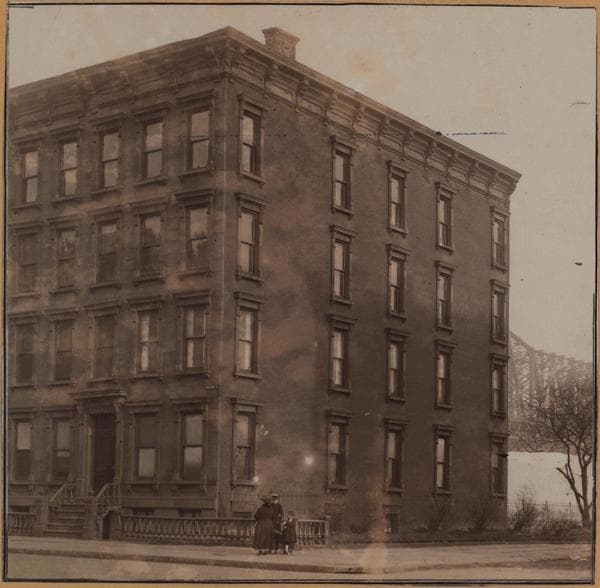
Manhattan: Sutton Place - 57th Street
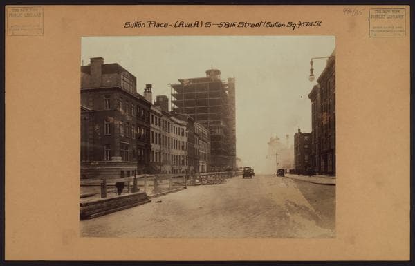
Manhattan: Sutton Place - 57th Street

Manhattan: Sutton Place - 57th Street
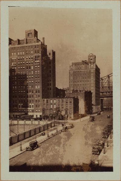
Manhattan: Sutton Place - 56th Street
1927; 1928

Manhattan: Sutton Place - 57th Street
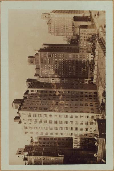
Manhattan: Sutton Place - 56th Street
1927; 1928
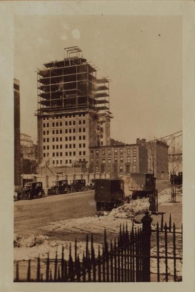
Manhattan: Sutton Place - 56th Street
1927; 1928
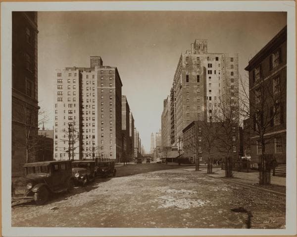
Manhattan: 57th Street (East) - Sutton Place

Manhattan: 56th Street - Sutton Place.
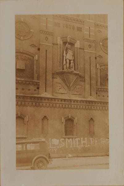
Manhattan: 56th Street - Sutton Place South
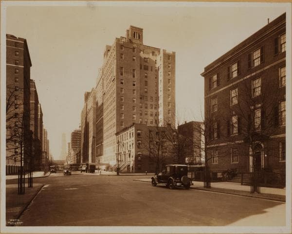
Manhattan: 57th Street - Sutton Place
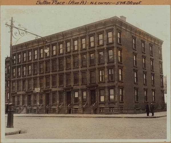
Manhattan: Sutton Place - 57th Street
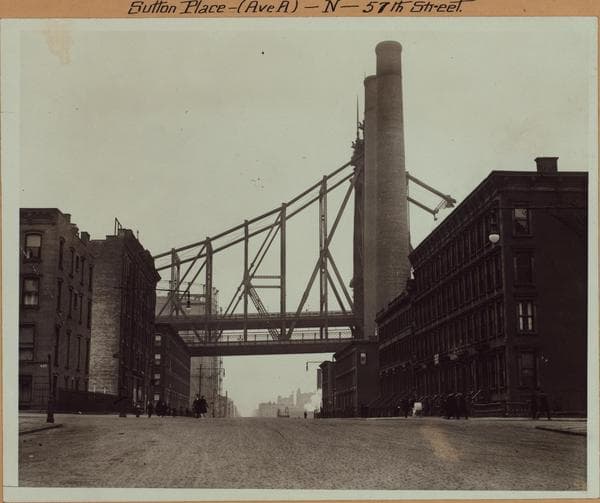
Manhattan: Sutton Place - 57th Street
![East River - Shore and skyline of Manhattan from East 57th Street - [Sutton Place ] - Williamsburg and Queensborough Bridges., 1933](/_next/image?url=https%3A%2F%2Fimages.vestigesofnewyork.com%2F600px%2F18f17d2a-7aec-449c-b2e0-b45b1154309c.jpg&w=1080&q=75)
East River - Shore and skyline of Manhattan from East 57th Street - [Sutton Place ] - Williamsburg and Queensborough Bridges.
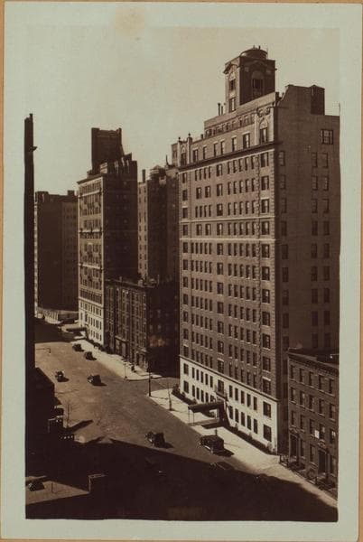
Manhattan: Sutton Place - 57th Street
![East River - Shore and skyline of Manhattan between East 53rd and 59th Streets - Williamsburg and Queensborough Bridges - [Chrysler Building; General Electric Company; Lincoln Building; New York Central Railroad Building; New York Steam Corporation; R.C.A. Building; River House; Waldorf-Astoria Hotel.], 1933–1935](/_next/image?url=https%3A%2F%2Fimages.vestigesofnewyork.com%2F600px%2F20f9c52d-fbfc-4752-a8c8-f0587d52bd31.jpg&w=1080&q=75)
East River - Shore and skyline of Manhattan between East 53rd and 59th Streets - Williamsburg and Queensborough Bridges - [Chrysler Building; General Electric Company; Lincoln Building; New York Central Railroad Building; New York Steam Corporation; R.C.A. Building; River House; Waldorf-Astoria Hotel.]
1933; 1935
![East River - Shore and skyline of Manhattan from East 57th Street - [Sutton Place ] - Williamsburg and Queensborough Bridges., 1933](/_next/image?url=https%3A%2F%2Fimages.vestigesofnewyork.com%2F600px%2F5e8ee749-027a-4ff1-b9b2-bb83c96c9f02.jpg&w=1080&q=75)
East River - Shore and skyline of Manhattan from East 57th Street - [Sutton Place ] - Williamsburg and Queensborough Bridges.
![East River - Shore and skyline of Manhattan from East 57th Street - [Sutton Place ] - Williamsburg and Queensborough Bridges., 1933](/_next/image?url=https%3A%2F%2Fimages.vestigesofnewyork.com%2F600px%2Fbcced2d8-166d-40ad-a675-f2e7bfb0bb64.jpg&w=1080&q=75)
East River - Shore and skyline of Manhattan from East 57th Street - [Sutton Place ] - Williamsburg and Queensborough Bridges.
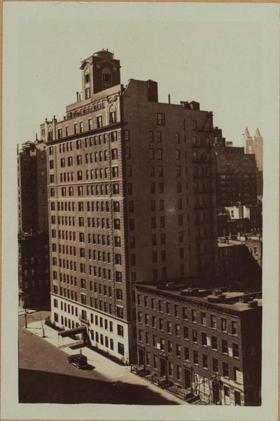
Manhattan: Sutton Place - 57th Street
![East River - Shore and skyline of Manhattan between East 53rd and 59th Streets - Williamsburg and Queensborough Bridges - [Chrysler Building; General Electric Company; Lincoln Building; New York Central Railroad Building; New York Steam Corporation; R.C.A. Building; River House; Waldorf-Astoria Hotel.], 1933–1935](/_next/image?url=https%3A%2F%2Fimages.vestigesofnewyork.com%2F600px%2Fed8e1832-8789-4f97-bc10-0a72f7508e45.jpg&w=1080&q=75)
East River - Shore and skyline of Manhattan between East 53rd and 59th Streets - Williamsburg and Queensborough Bridges - [Chrysler Building; General Electric Company; Lincoln Building; New York Central Railroad Building; New York Steam Corporation; R.C.A. Building; River House; Waldorf-Astoria Hotel.]
1933; 1935
![East River - Shore and skyline of Manhattan between East 53rd and 59th Streets - Williamsburg and Queensborough Bridges - [Chrysler Building; General Electric Company; Lincoln Building; New York Central Railroad Building; New York Steam Corporation; R.C.A. Building; River House; Waldorf-Astoria Hotel.], 1933–1935](/_next/image?url=https%3A%2F%2Fimages.vestigesofnewyork.com%2F600px%2Ffa99f490-1b47-4f67-9669-fe565ffc5634.jpg&w=1080&q=75)
East River - Shore and skyline of Manhattan between East 53rd and 59th Streets - Williamsburg and Queensborough Bridges - [Chrysler Building; General Electric Company; Lincoln Building; New York Central Railroad Building; New York Steam Corporation; R.C.A. Building; River House; Waldorf-Astoria Hotel.]
1933; 1935
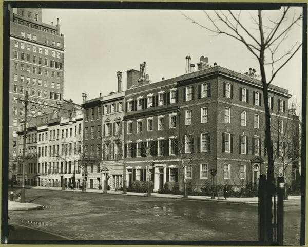
Manhattan: 57th Street (East) - Sutton Place.
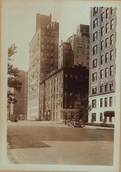
Manhattan: Sutton Place - 56th Street
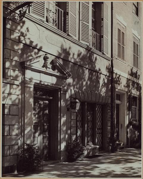
Manhattan: Sutton Place - 57th Street (East)
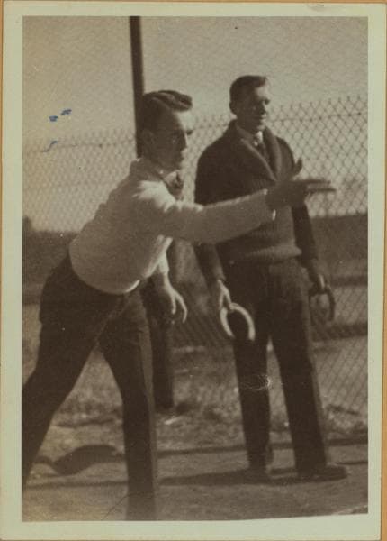
Recreation and hobbies - Quoits players.

Sutton Place - 57th Street east side - looking north
Unknown

1 Sutton Place South - East 57th Street
Unknown
Nearby places
- East River, Manhattan (3 photos)
- Sutton Place & 58th Street, Manhattan (16 photos)
- 55th Street & Sutton Place South, Manhattan (11 photos)
- 1st Ave & 56th St, Manhattan (15 photos)
- York Avenue & East 59th Street, Manhattan (9 photos)
- 1st Ave & 58th St, Manhattan (6 photos)
- Sutton Place & East 54th Street, Manhattan (13 photos)
- 1st Ave & 55th St, Manhattan (2 photos)