VVestiges of New York49,000+ historical photos
MapBrowseAboutGet the iPhone app (opens the App Store)
  1. Browse /
  2. Manhattan /
  3. This place

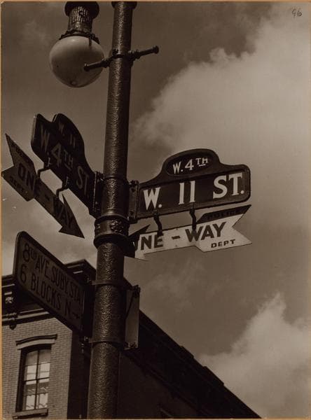
West 11th Street & 4th Street, Manhattan

11 historical photos taken here between 1932 and 1939, oldest first.

See this spot on the map

Photos

  • Manhattan: 11th Street - 4th Street (West), 1932–1933

    Manhattan: 11th Street - 4th Street (West)

    1932; 1933
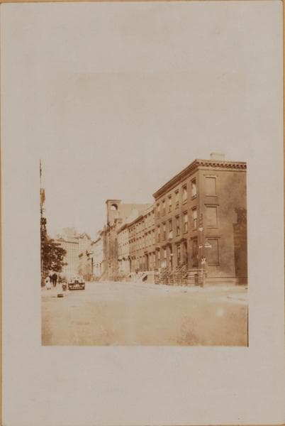
  • Manhattan: 11th Street - 4th Street (West), 1932–1933

    Manhattan: 11th Street - 4th Street (West)

    1932; 1933
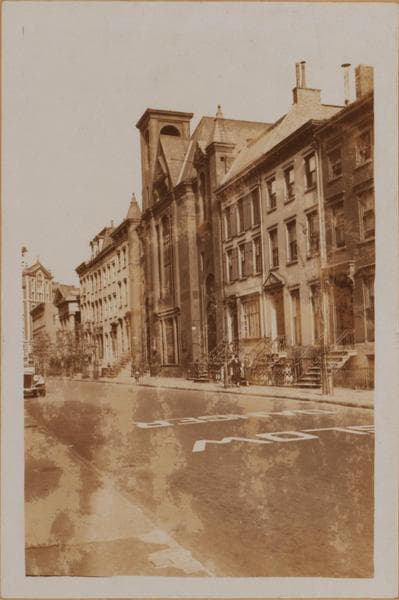
  • Manhattan: 11th Street (West) - 4th Street, 1933

    Manhattan: 11th Street (West) - 4th Street
    1933

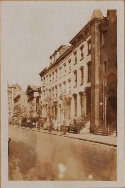
  • Manhattan: 11th Street (West) - 4th Street, 1933

    Manhattan: 11th Street (West) - 4th Street
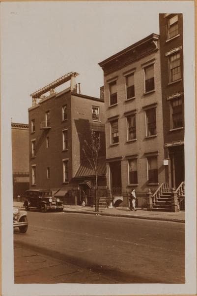
    1933

  • Manhattan: 11th Street (West) - 4th Street, 1933

    Manhattan: 11th Street (West) - 4th Street
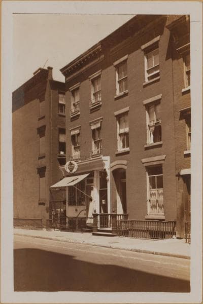
    1933

  • Manhattan: 4th Street (West) - 11th Street, 1933

    Manhattan: 4th Street (West) - 11th Street
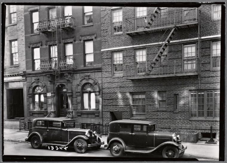
    1933

  • Empire Forwarding Co; Tudor Arms: 264-270 W. 11th St.- W 4th-Bleecker, Manhattan, 1934

    Empire Forwarding Co; Tudor Arms: 264-270 W. 11th St.- W 4th-Bleecker, Manhattan

    1934

  • Empire Forwarding Co; Tudor Arms: 260-270 W. 11th St.- W 4th-Bleecker, Manhattan, 1934

    Empire Forwarding Co; Tudor Arms: 260-270 W. 11th St.- W 4th-Bleecker, Manhattan
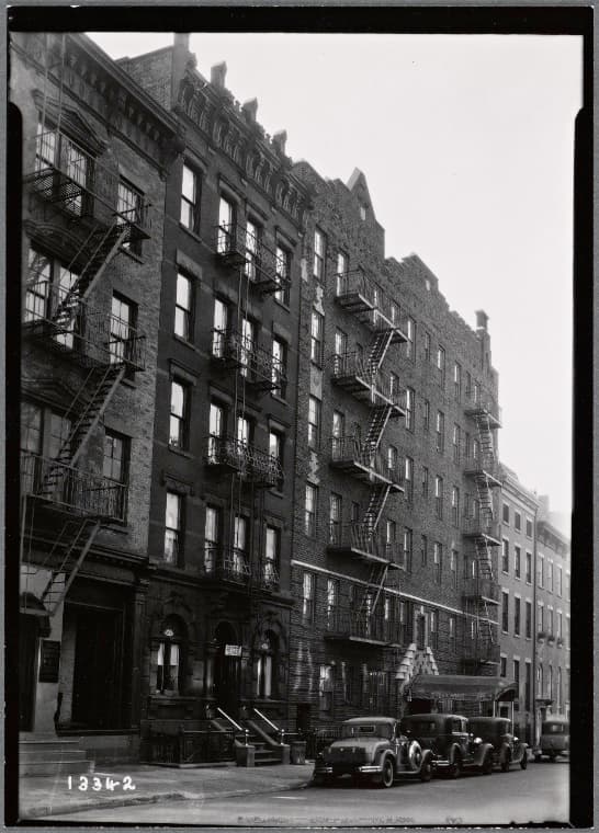
    1934

  • Empire Forwarding Co; Tudor Arms: 264-270 W. 11th St.- W 4th-Bleecker, Manhattan, 1934

    Empire Forwarding Co; Tudor Arms: 264-270 W. 11th St.- W 4th-Bleecker, Manhattan
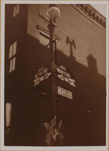
    1934

  • Manhattan: 4th Street - 11th Street, 1939

    Manhattan: 4th Street - 11th Street

    1939

  • Manhattan: 11th Street (West) - 4th Street (West)

    Manhattan: 11th Street (West) - 4th Street (West)

    Unknown

Stand where these photos were taken

The free OldNYC app for iPhone centers the map on you and shows the historical photos taken closest to where you are.
Download on the App Store (opens the App Store)
QR code that opens OldNYC on the App Store

Or scan with your iPhone

Nearby places

  • West 11th Street & Bleecker Street, Manhattan (3 photos)
  • Perry Street & West 4th Street, Manhattan (3 photos)
  • 4th Street & Bank Street, Manhattan (3 photos)
  • Perry Street & Bleecker Street, Manhattan (20 photos)
  • Charles Street & 4th Street, Manhattan (3 photos)
  • Hudson Street & West 11th Street, Manhattan (7 photos)
  • 11th Street & Waverly Place, Manhattan (29 photos)
  • 8th Avenue & Hudson Street, Manhattan (41 photos)

Explore

  • Map
  • Browse by place
  • Browse by decade

Boroughs

  • Manhattan
  • Brooklyn
  • Queens
  • Bronx
  • Staten Island

About

  • About and contact
  • Privacy

Photos: The New York Public Library, Milstein Collection

OldNYC for iPhone

Find the historical photos taken closest to where you stand.

Download on the App Store (opens the App Store)QR code that opens OldNYC on the App Store
Manhattan: 11th Street - 4th Street (West), 1932–1933

Photo 2 of 11 at West 11th Street & 4th Street, Manhattan

Manhattan: 11th Street - 4th Street (West)

1932; 1933

11th Street (formerly Hammond Street), south side, east from and including West 4th Street, St. Vincent's Hospital in the background, on the N.E. corner of Seventh Avenue and the true West 11th Street. The North Baptist Church, built in 1882 to replace the original edifice on Christopher Street, is shown at 236-232 West 11th Street. The classical temple at 220, the S.W. corner of Waverly Place, is the Protestant Episcopal Church of St. John the Evangelist (1856). August 6, 1932. P. L. Sperr. (2) The same, the following spring. This apparent intersection at right angles of two supposedly parallel streets has already been explained in describing 4th Street north from the corner of 10th Street. Neither of these streets was numbered when originally laid out. This part of 4th Street has been West 4th Street since probably 1820, but Hammond Street did not lose its name till around 1870. Latterly this crossing has become dangerous, so there is a special traffic light on the N.E. corner. May 20, 1933. P. L. Sperr.

Photo from the New York Public Library - Milstein Collection

See this spot on the mapView on NYPL Digital Collections (opens in a new tab)

See this photo in high resolution

Zoom into the full-resolution scan in the OldNYC app for iPhone with OldNYC Supporter ($4.99). The free app also centers the map on you, so you can find the photos taken closest to where you stand.
Download on the App Store (opens the App Store)
QR code that opens OldNYC on the App Store

Or scan with your iPhone