VVestiges of New York49,000+ historical photos
MapBrowseAboutGet the iPhone app (opens the App Store)
  1. Browse /
  2. Manhattan /
  3. This place

York Avenue & East 59th Street, Manhattan

9 historical photos taken here between 1927 and 1940, oldest first.

See this spot on the map

Photos

  • Manhattan: York Avenue - 59th Street (East), 1927

    Manhattan: York Avenue - 59th Street (East)

    1927

  • Manhattan: York Avenue - 59th Street, 1928

    Manhattan: York Avenue - 59th Street

    1928

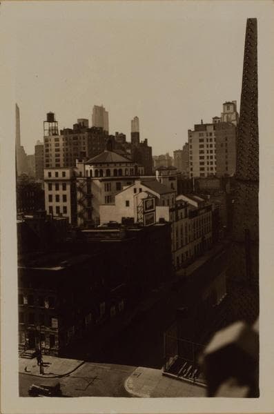
  • Manhattan: 59th Street - Sutton Place, 1933

    Manhattan: 59th Street - Sutton Place
    1933

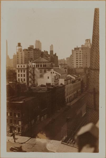
  • Manhattan: 59th Street - Sutton Place, 1933

    Manhattan: 59th Street - Sutton Place
    1933

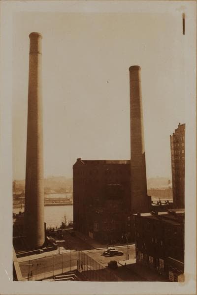
  • Manhattan: 59th Street - Sutton Place, 1933

    Manhattan: 59th Street - Sutton Place
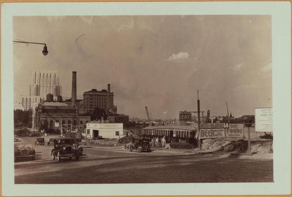
    1933

  • Manhattan: York Avenue - 59th Street (East), 1939

    Manhattan: York Avenue - 59th Street (East)

    1939

  • Manhattan: York Avenue - 59th Street (East), 1939

    Manhattan: York Avenue - 59th Street (East)
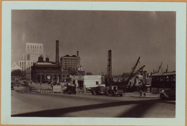
    1939

  • Manhattan: York Avenue - 59th Street (East), 1939

    Manhattan: York Avenue - 59th Street (East)
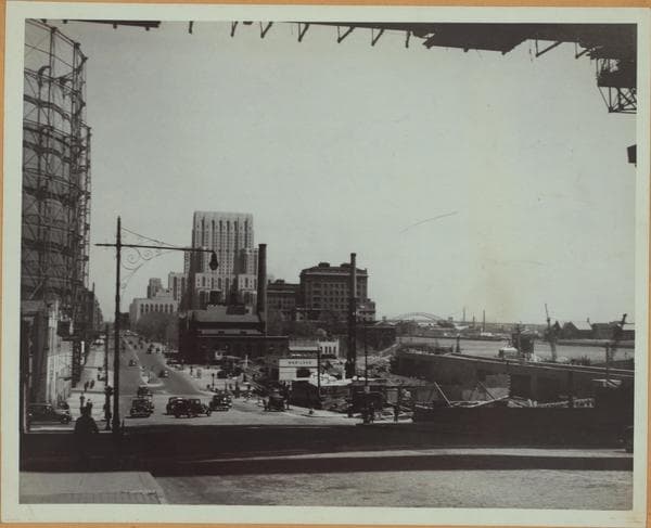
    1939

  • Manhattan: York Avenue - 59th Street (East), 1940

    Manhattan: York Avenue - 59th Street (East)

    1940

Stand where these photos were taken

The free OldNYC app for iPhone centers the map on you and shows the historical photos taken closest to where you are.
Download on the App Store (opens the App Store)
QR code that opens OldNYC on the App Store

Or scan with your iPhone

Nearby places

  • East River Drive & East 60th Street, Manhattan (9 photos)
  • Sutton Place & 58th Street, Manhattan (16 photos)
  • East 61st Street & Avenue A, Manhattan (18 photos)
  • 1st Ave & 58th St, Manhattan (6 photos)
  • East 60th Street & 1st Avenue, Manhattan (16 photos)
  • East River, Manhattan (3 photos)
  • East 61st Street & 1st Avenue, Manhattan (8 photos)
  • Sutton Place & 57th Street, Manhattan (27 photos)

Explore

  • Map
  • Browse by place
  • Browse by decade

Boroughs

  • Manhattan
  • Brooklyn
  • Queens
  • Bronx
  • Staten Island

About

  • About and contact
  • Privacy

Photos: The New York Public Library, Milstein Collection

OldNYC for iPhone

Find the historical photos taken closest to where you stand.

Download on the App Store (opens the App Store)QR code that opens OldNYC on the App Store
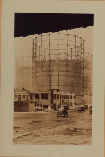
Manhattan: York Avenue - 59th Street, 1928

Photo 2 of 9 at York Avenue & East 59th Street, Manhattan

Manhattan: York Avenue - 59th Street

1928

York Avenue (Avenue A), north from 59th Street. The dark body overhead is Queensboro Bridge. On the west side, from 60th to 61st Streets, is a garage built since 1920. The gas tanks are in the two blocks 61st to 62nd and 62nd to 63rd Streets; opposite the second one, on the N.E. corner of 62nd Street, is the pumping station and tower of the Consolidated Gas Company. Behind and to the right of these may be seen the malting plant of George Ehret, east of York Avenue between 63rd and 64th Streets; it will be demolished in October 1930. Demolition of buildings on the east side of the Avenue, from 68th to 71st Streets, has not yet taken place. At the time of this picture the name of the Avenue, north from this point, is about to be changed to York Avenue. The old Avenue A house numbers will still be used after the change. March 5, 1928. New York Edison Company Collection.

Photo from the New York Public Library - Milstein Collection

See this spot on the mapView on NYPL Digital Collections (opens in a new tab)

See this photo in high resolution

Zoom into the full-resolution scan in the OldNYC app for iPhone with OldNYC Supporter ($4.99). The free app also centers the map on you, so you can find the photos taken closest to where you stand.
Download on the App Store (opens the App Store)
QR code that opens OldNYC on the App Store

Or scan with your iPhone