VVestiges of New York49,000+ historical photos
MapBrowseAboutGet the iPhone app (opens the App Store)
  1. Browse /
  2. Manhattan /
  3. This place

York Avenue & East 63rd Street, Manhattan

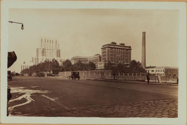
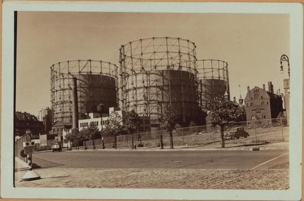
27 historical photos taken here between 1916 and 1940, oldest first.

See this spot on the map

Photos

  • Manhattan: York Avenue - 63rd Street, 1916

    Manhattan: York Avenue - 63rd Street

    1916

  • Manhattan: York Avenue - 63rd Street, 1929–1930

    Manhattan: York Avenue - 63rd Street

    1929; 1930

  • Manhattan: York Avenue - 63rd Street, 1929–1930

    Manhattan: York Avenue - 63rd Street

    1929; 1930

  • Manhattan: York Avenue - 63rd Street, 1929

    Manhattan: York Avenue - 63rd Street

    1929

  • Manhattan: York Avenue - 63rd Street, 1930

    Manhattan: York Avenue - 63rd Street
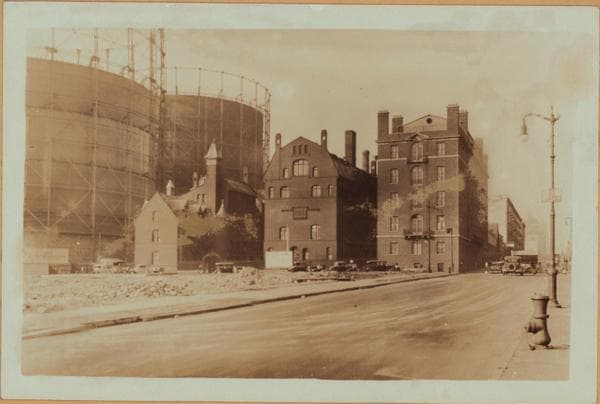
    1930

  • Manhattan: York Avenue - 62nd Avenue (East), 1930

    Manhattan: York Avenue - 62nd Avenue (East)
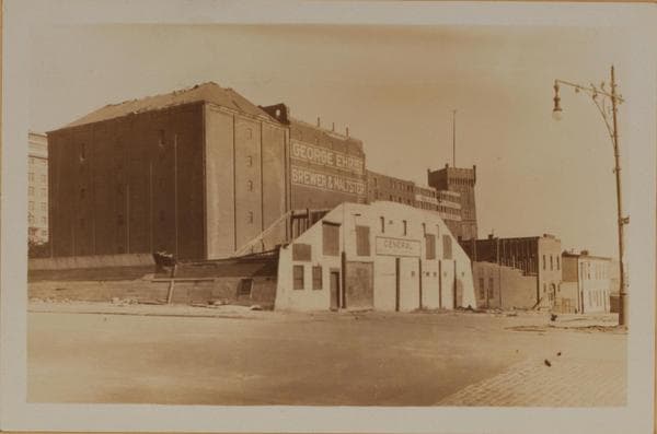
    1930

  • Manhattan: 63rd Street - York Avenue, 1930

    Manhattan: 63rd Street - York Avenue

    1930

  • Manhattan: York Avenue - 63rd Street, 1930

    Manhattan: York Avenue - 63rd Street

    1930

  • Manhattan: York Avenue - 63rd Street, 1930

    Manhattan: York Avenue - 63rd Street

    1930

  • Manhattan: York Avenue - 63rd Street, 1931

    Manhattan: York Avenue - 63rd Street

    1931

  • Manhattan: Marie Curie Avenue - 64th Street (East), 1935

    Manhattan: Marie Curie Avenue - 64th Street (East)
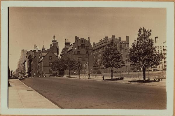
    1935

  • Manhattan: York Avenue - 63rd Street (East), 1935

    Manhattan: York Avenue - 63rd Street (East)

    1935

  • Manhattan: York Avenue - 63rd Street (East), 1935

    Manhattan: York Avenue - 63rd Street (East)

    1935

  • East River - Pier 104 - Manhattan - York Avenue - East 62nd Street - [Consolidated Edison Company.], 1935

    East River - Pier 104 - Manhattan - York Avenue - East 62nd Street - [Consolidated Edison Company.]
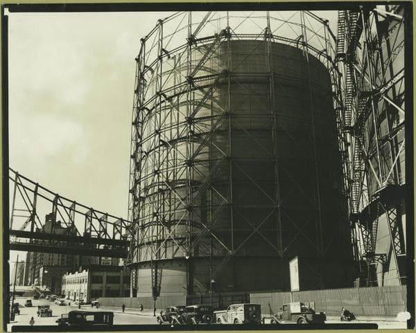
    1935

  • Manhattan: 62nd Street (East) - York Avenue., 1935

    Manhattan: 62nd Street (East) - York Avenue.

    1935

  • Manhattan: York Avenue - 62nd Street (East)., 1935

    Manhattan: York Avenue - 62nd Street (East).

    1935

  • East River - Pier 104 - Manhattan - York Avenue - East 62nd Street - [Consolidated Edison Company.], 1935

    East River - Pier 104 - Manhattan - York Avenue - East 62nd Street - [Consolidated Edison Company.]

    1935

  • Manhattan: York Avenue - 63rd Street (East), 1935

    Manhattan: York Avenue - 63rd Street (East)
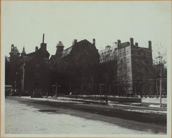
    1935

  • Manhattan: York Avenue - 63rd Street (East), 1939

    Manhattan: York Avenue - 63rd Street (East)

    1939

  • East River - Shore and skyline of Manhattan from East 61st Street - Williamsburg and Queensborough Bridges., 1939

    East River - Shore and skyline of Manhattan from East 61st Street - Williamsburg and Queensborough Bridges.
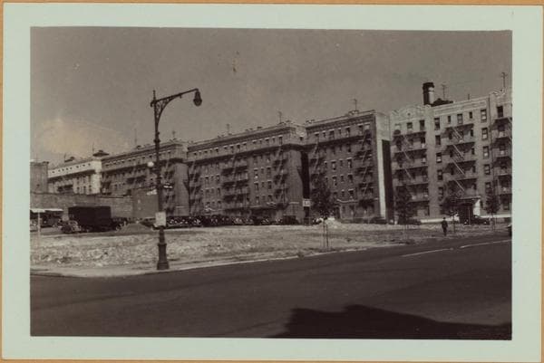
    1939

  • Manhattan: York Avenue - 63rd Street (East), 1940

    Manhattan: York Avenue - 63rd Street (East)
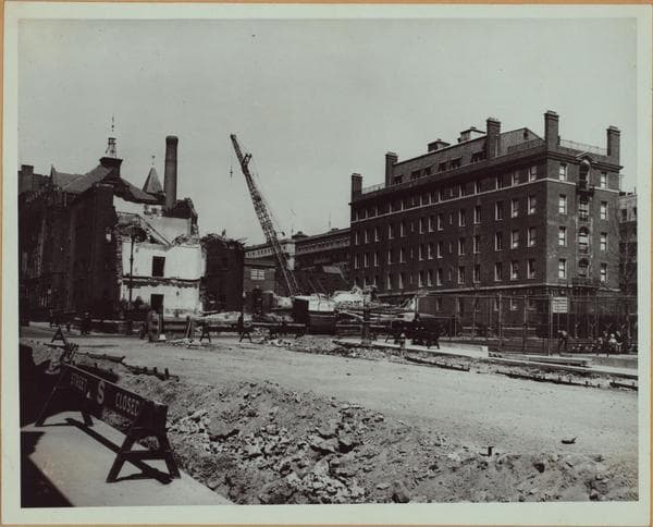
    1940

  • Manhattan: York Avenue - 63rd Street (East), 1940

    Manhattan: York Avenue - 63rd Street (East)
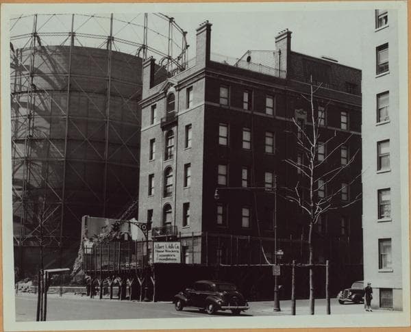
    1940

  • Manhattan: York Avenue - 63rd Street (East), 1940

    Manhattan: York Avenue - 63rd Street (East)
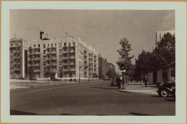
    1940

  • Manhattan: York Avenue - 63rd Street (East), 1940

    Manhattan: York Avenue - 63rd Street (East)
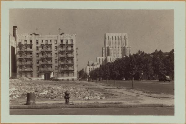
    1940

  • Manhattan: York Avenue - 63rd Street (East), 1940

    Manhattan: York Avenue - 63rd Street (East)
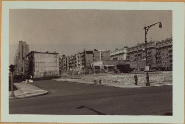
    1940

  • Manhattan: York Avenue - 63rd Street (East), 1940

    Manhattan: York Avenue - 63rd Street (East)
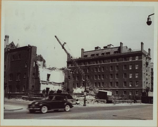
    1940

  • Manhattan: York Avenue - 63rd Street (East), 1940

    Manhattan: York Avenue - 63rd Street (East)

    1940

Stand where these photos were taken

The free OldNYC app for iPhone centers the map on you and shows the historical photos taken closest to where you are.
Download on the App Store (opens the App Store)
QR code that opens OldNYC on the App Store

Or scan with your iPhone

Nearby places

  • York Avenue & 64th Street, Manhattan (13 photos)
  • East 61st Street & Avenue A, Manhattan (18 photos)
  • York Avenue & 66th Street, Manhattan (9 photos)
  • East River Drive & East 60th Street, Manhattan (9 photos)
  • East 61st Street & 1st Avenue, Manhattan (8 photos)
  • York Avenue & East 59th Street, Manhattan (9 photos)
  • 1st Ave & 66th St, Manhattan (2 photos)
  • East 60th Street & 1st Avenue, Manhattan (16 photos)

Explore

  • Map
  • Browse by place
  • Browse by decade

Boroughs

  • Manhattan
  • Brooklyn
  • Queens
  • Bronx
  • Staten Island

About

  • About and contact
  • Privacy

Photos: The New York Public Library, Milstein Collection

OldNYC for iPhone

Find the historical photos taken closest to where you stand.

Download on the App Store (opens the App Store)QR code that opens OldNYC on the App Store
Manhattan: York Avenue - 63rd Street, 1916

Photo 1 of 27 at York Avenue & East 63rd Street, Manhattan

Manhattan: York Avenue - 63rd Street

1916

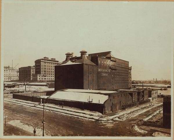
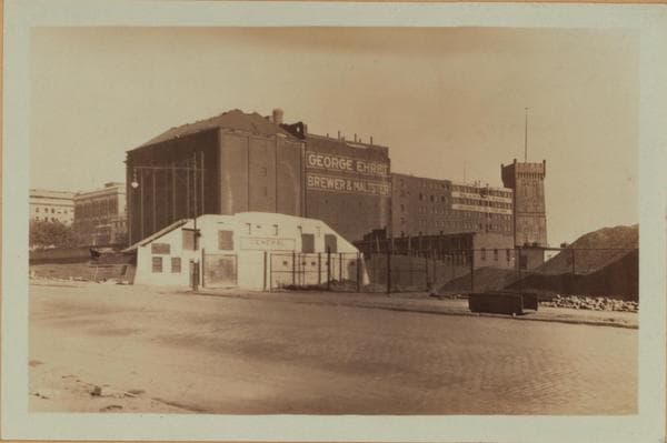
York Avenue (at time shown, Avenue A), east side, from 63rd to 64th Streets, and east of the Avenue to 67th Street, showing Rockefeller Institute. The American Malting Company plant (formerly Neidlinger, Schmidt & Company), from 63rd to 64th Streets, will later pass into the hands of George Ehret's brewing company, and finally be demolished in October 1930. The buildings of the Rockefeller Institute for Medical Research (incorporated 1901) are shown as follows in this picture: The chimney of the new power house, just completed on the N.W. corner of Exterior Street (Marie Curie Avenue since 1935) and 64th Street, shows above the malting plant in the foreground. Then comes the Main Hospital, built about 1909, its long axis nearly in line with 65th Street (which is not cut through east of the Avenue). Then the original laboratory, dedicated May 11, 1906, stands facing 66th Street and the Avenue. To the left of the picture Laboratory No. 2 is shown under construction, and behind it the chimney of the original power house built in 1906. In the right background, through 63rd Street, may be seen the East River, Blackwell's (now Welfare) Island, and Queens. This part of Avenue A, north of 59th Street, will not be called York Avenue till late in 1928. Early 1916. James Suydam, Photographer. Gift of E. M. Jenks.

Photo from the New York Public Library - Milstein Collection

See this spot on the mapView on NYPL Digital Collections (opens in a new tab)

See this photo in high resolution

Zoom into the full-resolution scan in the OldNYC app for iPhone with OldNYC Supporter ($4.99). The free app also centers the map on you, so you can find the photos taken closest to where you stand.
Download on the App Store (opens the App Store)
QR code that opens OldNYC on the App Store

Or scan with your iPhone