1939
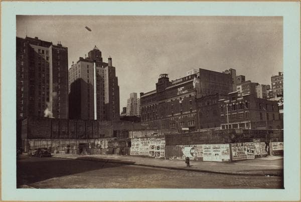
Manhattan: Sutton Place - 54th Street (East)
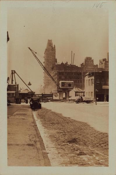
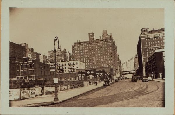
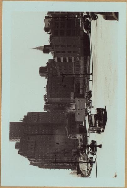
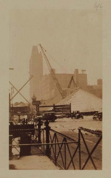
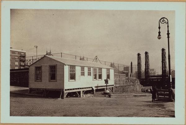
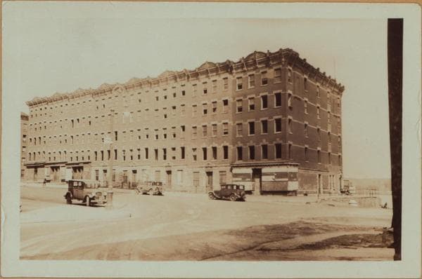
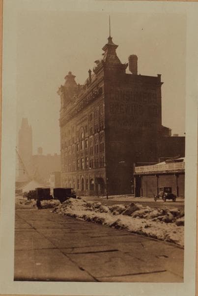
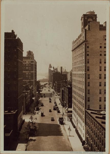
Sutton Place, north from E. 54th Street, towards the Queens-boro Bridge at 59th Street where this thoroughfare changes its identity to become York Avenue (formerly Avenue A). To the right and left of this view are vacant lots occupying the 54th - 55th Street frontage. Details of these are shown in the accompanying views, No. 2 being across the N.E. corner and No. 3 across the N.W. The rock drills in the first instance are at the river's edge and are preparing the foundation for the East River Highway. Buildings seen beyond same are on Welfare Island and replaced the former prison structures there. The last view is northeastward across an old brewery site and shows another similar enterprise on the north side of 55th Street between Sutton Place and First Avenue. To the left here are modern apartment houses that front on the east side of First Avenue. February 9, 1939 Views 1,2 and 3 P. L. Sperr v.1 Neg # 506 v.2 " 507
Photo from the New York Public Library - Milstein Collection