![East River - Shore and skyline of Manhattan between East 54th and 55th Streets - [Sutton Place] - Williamsburg and Queensborough Bridges., 1933–1937](/_next/image?url=https%3A%2F%2Fimages.vestigesofnewyork.com%2Fhigh-res%2F8f675338-5d67-4680-a4e8-1c289f228edd.jpg&w=3840&q=75)
1933; 1937
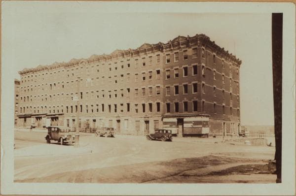
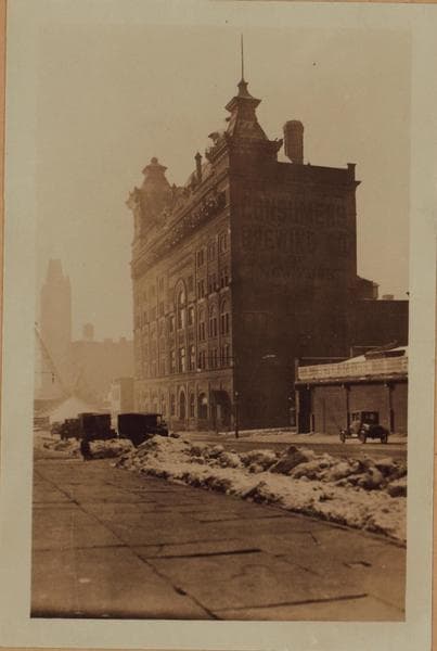
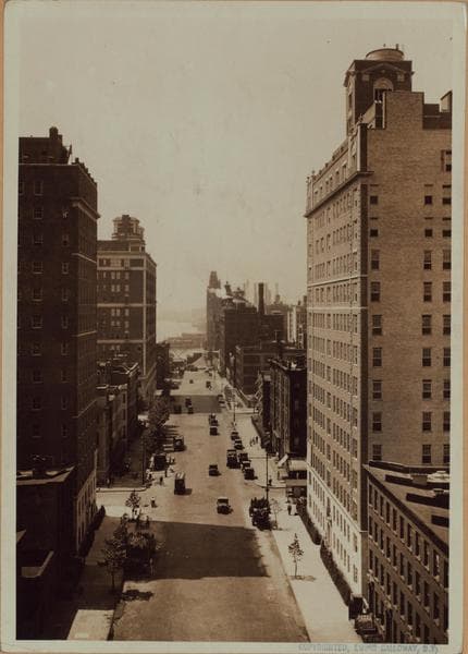
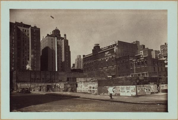
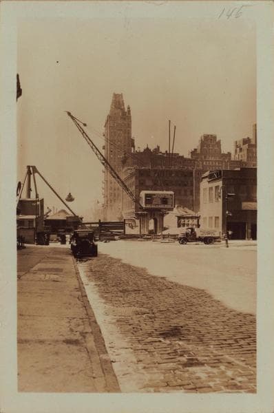
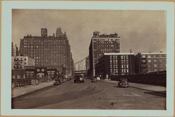
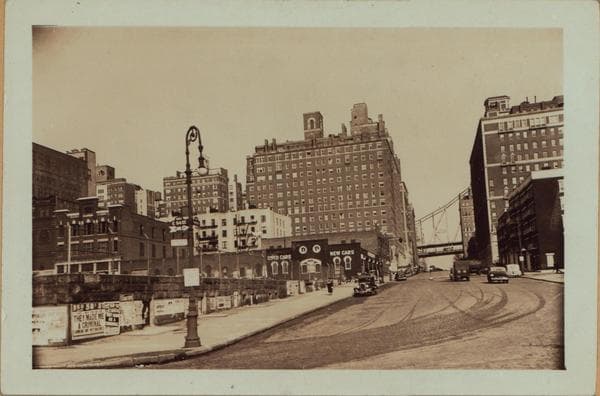
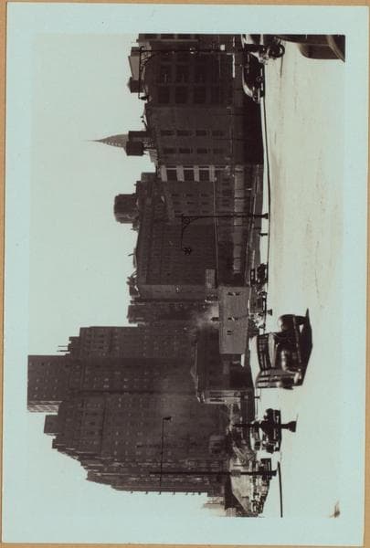
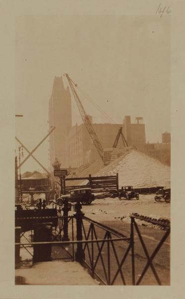
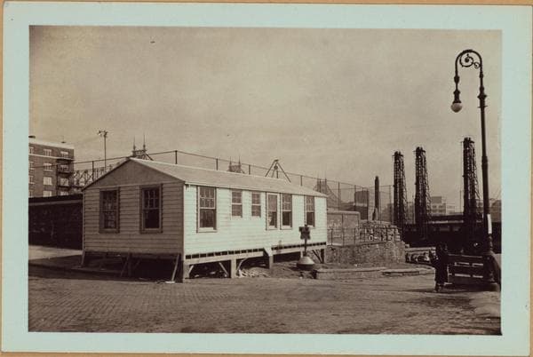
East River - Shore and skyline of Manhattan between East 54th and 55th Streets - [Sutton Place] - Williamsburg and Queensborough Bridges.
(1) East River, shoreline, north from East 54th to 55th Streets, showing a playground occupying the area between the above mentioned streets and extending west to Sutton Place (left). Also shown are; a 14-story apartment house No. 437-453 East 56th Street (left), the 13-story house No. 1 Sutton Place South, and the Queensborough Bridge (in part). May 4, 1933. P.L. Sperr. (2) The same, at a later date, from a different angle (viewed in a northwesterly direction). Note the change in the appearance of the two low structures seen in view 1 (extreme right in this view) bearing Nos. 507-503 (right to left) and 501 East 55th Street. July 10, 1937. P. L. Sperr.
Photo from the New York Public Library - Milstein Collection
![East River - Shore and skyline of Manhattan between East 54th and 55th Streets - [Sutton Place] - Williamsburg and Queensborough Bridges., 1933–1937](/_next/image?url=https%3A%2F%2Fimages.vestigesofnewyork.com%2F600px%2F64a34adf-31b8-4a3f-8990-5b949d2c71d0.jpg&w=3840&q=75)