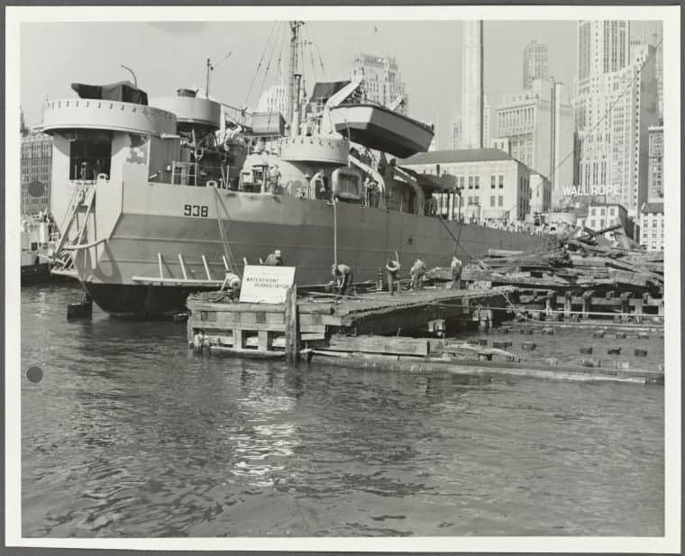
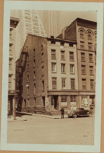
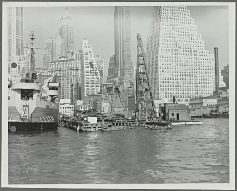
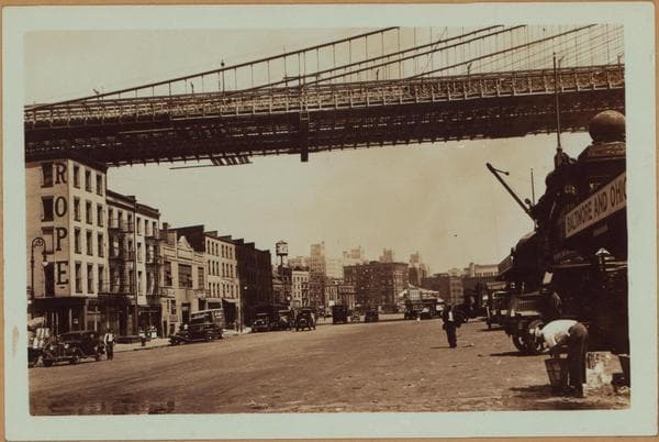
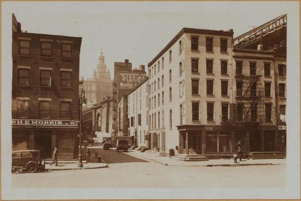
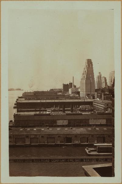
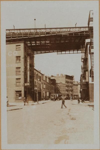
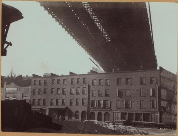
![East River - shore and skyline ; South ferry, Williamsburg bridge. [Manhattan: Dover Street.]](/_next/image?url=https%3A%2F%2Fimages.vestigesofnewyork.com%2Fhigh-res%2F34d4fc18-8a3c-401c-9ff3-04c4b297d3bd.jpg&w=3840&q=75)
1932; 1934
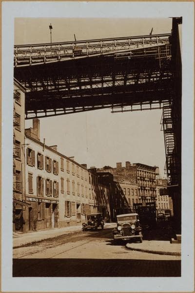
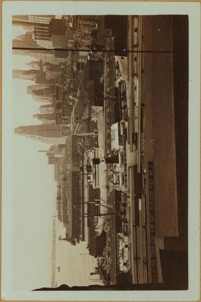
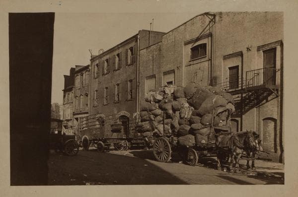
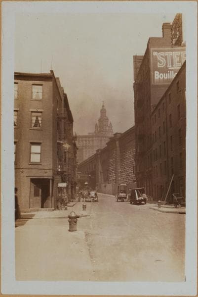
East River - shore and skyline ; South ferry, Williamsburg bridge. [Manhattan: Dover Street.]
(1) East River, shore and skyline, south from Dover Street, showing piers abutting into the river from the east side of South Street. Also shown is a portion of the skyline of Lower Manhattan and (left) Governor's Island. The vantage point is the Brooklyn Bridge. June 5, 1932. P. L. Sperr. (2) The same, another view. The same vantage point as view 1. June 5, 1932. P. L. Sperr. (3) An additional view at a later date. Also shown are the S.S. Saramaca docked at pier 20, and the S.S. Gatun, at pier 19. The same vantage point as views 1 & 2. July 31, 1934. P. L. Sperr.
Photo from the New York Public Library - Milstein Collection