VVestiges of New York49,000+ historical photos
MapBrowseAbout
  1. Browse /
  2. 1950s /
  3. This photo
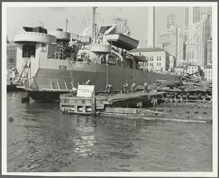
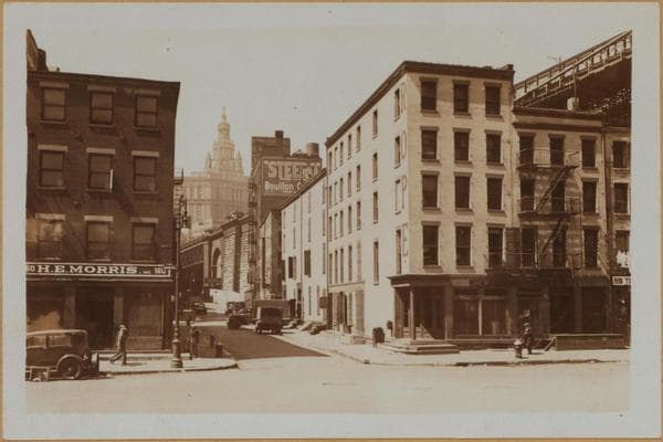
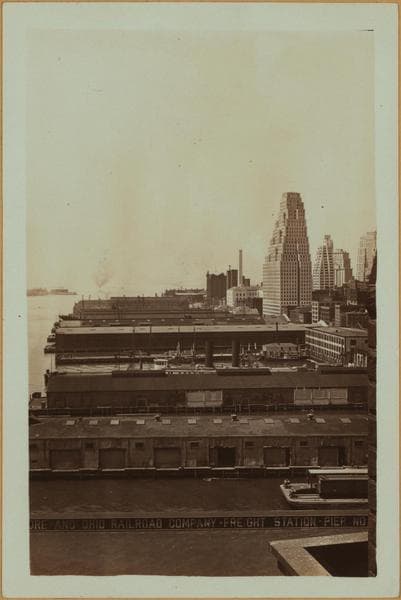
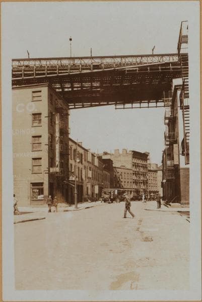
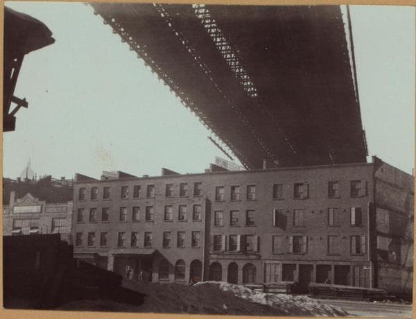
Pier 10, East River]

1951

Pier 10, East River]

Photo from the New York Public Library - Milstein Collection

View this location on the map →View on NYPL Digital Collections (opens in a new tab) →

More photos from this spot

  • Pier 10, East River, Waterfront Rehabilitation]

    1951

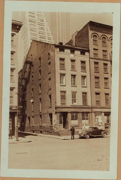
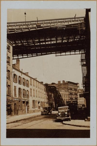
  • Manhattan: South Street - Jones Lane

    1936

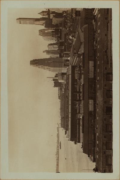
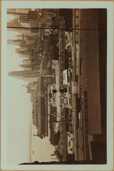
  • East River - shore and skyline ; South ferry, Williamsburg bridge. [Manhattan: Dover Street.]

    1932; 1934

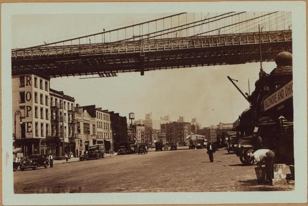
  • Manhattan: South Street - Dover Street

    1932; 1934

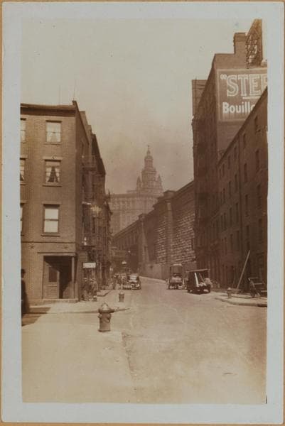
  • Manhattan: Dover Street - South Street

    1932

  • East River - shore and skyline ; South ferry, Williamsburg bridge. [Manhattan: Dover Street.]

    1932; 1934

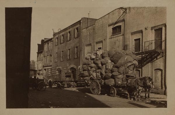
  • Manhattan: Front Street - Dover Street

    1932; 1936

  • Manhattan: South Street - Dover Street

    1927

  • Manhattan: Front Street - Dover Street

    1932; 1936

  • East River - shore and skyline ; South ferry, Williamsburg bridge. [Manhattan: Dover Street.]

    1932; 1934

  • Manhattan: Front Street - Dover Street

    1928

  • Manhattan: Dover Street - Front Street

    1931

About and contactPrivacyPhotos: The New York Public Library, Milstein Collection